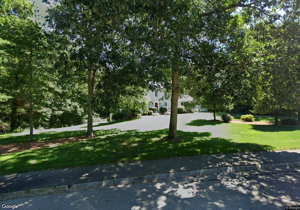
30 King Philip Path Mendon, MA 01756
Estimated Value: $737,743 - $797,000
4
Beds
3
Baths
2,016
Sq Ft
$380/Sq Ft
Est. Value
About This Home
This home is located at 30 King Philip Path, Mendon, MA 01756 and is currently estimated at $766,186, approximately $380 per square foot. 30 King Philip Path is a home located in Worcester County with nearby schools including Nipmuc Regional High School, Bethany Christian Academy, and Mendon Mennonite School.
Ownership History
Date
Name
Owned For
Owner Type
Purchase Details
Closed on
Mar 14, 2003
Sold by
Oshaughnessy Ciaran W
Bought by
Ryan Timothy R and Ryan Christina E
Current Estimated Value
Purchase Details
Closed on
Jan 28, 1997
Sold by
Highland Pond Rt and Tinio Salvatore
Bought by
Oshaughnessy Ciaran and Oshaughnessy Kimberly
Home Financials for this Owner
Home Financials are based on the most recent Mortgage that was taken out on this home.
Original Mortgage
$176,000
Interest Rate
7.5%
Mortgage Type
Purchase Money Mortgage
Create a Home Valuation Report for This Property
The Home Valuation Report is an in-depth analysis detailing your home's value as well as a comparison with similar homes in the area
Home Values in the Area
Average Home Value in this Area
Purchase History
| Date | Buyer | Sale Price | Title Company |
|---|---|---|---|
| Ryan Timothy R | $409,500 | -- | |
| Oshaughnessy Ciaran | $223,200 | -- |
Source: Public Records
Mortgage History
| Date | Status | Borrower | Loan Amount |
|---|---|---|---|
| Open | Oshaughnessy Ciaran | $292,200 | |
| Closed | Oshaughnessy Ciaran | $296,000 | |
| Previous Owner | Oshaughnessy Ciaran | $155,000 | |
| Previous Owner | Oshaughnessy Ciaran | $176,000 |
Source: Public Records
Tax History Compared to Growth
Tax History
| Year | Tax Paid | Tax Assessment Tax Assessment Total Assessment is a certain percentage of the fair market value that is determined by local assessors to be the total taxable value of land and additions on the property. | Land | Improvement |
|---|---|---|---|---|
| 2025 | $8,670 | $647,500 | $209,600 | $437,900 |
| 2024 | $8,518 | $621,300 | $201,600 | $419,700 |
| 2023 | $8,290 | $567,800 | $179,900 | $387,900 |
| 2022 | $8,121 | $527,000 | $175,300 | $351,700 |
| 2021 | $7,742 | $461,100 | $170,000 | $291,100 |
| 2020 | $7,377 | $440,400 | $170,000 | $270,400 |
| 2019 | $7,193 | $429,700 | $165,100 | $264,600 |
| 2018 | $6,955 | $410,100 | $165,100 | $245,000 |
| 2017 | $7,018 | $395,400 | $165,100 | $230,300 |
| 2016 | $6,819 | $395,300 | $168,200 | $227,100 |
| 2015 | $6,254 | $390,600 | $168,200 | $222,400 |
| 2014 | $5,975 | $373,000 | $163,000 | $210,000 |
Source: Public Records
Map
Nearby Homes
- 111 Providence St
- 25 Ashkins Dr
- 20 Thayer Rd
- 17 Colonial Dr
- 93 Providence St Unit B
- 50 Hartford Ave E
- 8 Puffer Dr
- 23 Bens Way
- 185 Elm St
- 183 Elm St Unit 185
- 25 Bens Way
- 123-125 Mendon St
- 10 Wesley Dr
- 222 Blackstone St
- 370 S Main St
- 13 Blackstone St
- 244 Mendon St
- 25 Milk St
- 62 Millville Rd
- 14 Kelley Rd
- 28 King Philip Path
- 9 Massasoit Way
- 7 Massasoit Way
- 12 Massasoit Way
- 8 Massasoit Way
- 27 King Philip Path
- 29 King Philip Path
- 11 Massasoit Way
- 26 King Philip Path
- 5 Massasoit Way
- 25 King Philip Path
- 13 Massasoit Way
- 168 Providence St
- 14 Massasoit Way
- 172 Providence St
- 6 Massasoit Way
- 166 Providence St
- 24 King Philip Path
- 21 King Philip Path
- 15 Massasoit Way