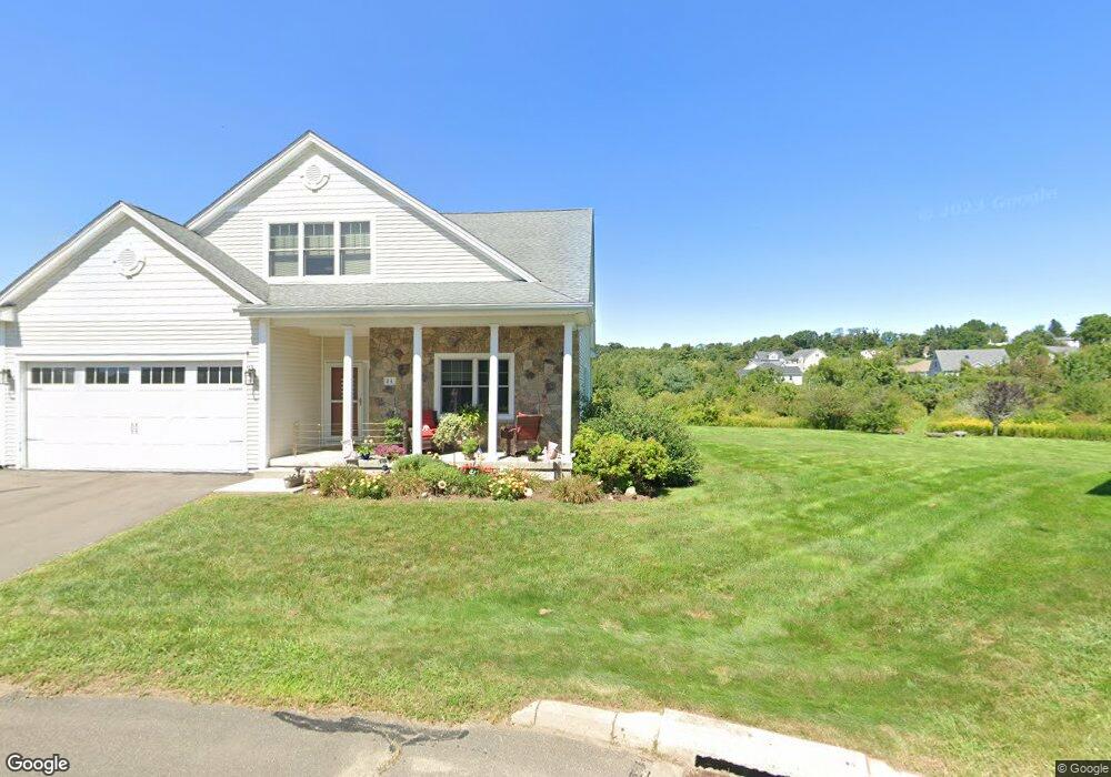
30 Knibbs Cir Unit 30 Bristol, CT 06010
North Bristol NeighborhoodEstimated Value: $455,000 - $524,000
3
Beds
3
Baths
2,320
Sq Ft
$214/Sq Ft
Est. Value
About This Home
This home is located at 30 Knibbs Cir Unit 30, Bristol, CT 06010 and is currently estimated at $495,417, approximately $213 per square foot. 30 Knibbs Cir Unit 30 is a home located in Hartford County with nearby schools including West Bristol Sch, Bristol Central High School, and Immanuel Lutheran School.
Ownership History
Date
Name
Owned For
Owner Type
Purchase Details
Closed on
Apr 17, 2014
Sold by
Plonski Kim P and Plonski Gary F
Bought by
Ferraro Shirley A
Current Estimated Value
Purchase Details
Closed on
Jul 6, 2013
Sold by
Rama James E
Bought by
Ferraro Shirley A
Purchase Details
Closed on
Jul 24, 2008
Sold by
Lemiuex Dev Llc
Bought by
Rama James E and Rama Christina M
Home Financials for this Owner
Home Financials are based on the most recent Mortgage that was taken out on this home.
Original Mortgage
$345,000
Interest Rate
6.35%
Create a Home Valuation Report for This Property
The Home Valuation Report is an in-depth analysis detailing your home's value as well as a comparison with similar homes in the area
Home Values in the Area
Average Home Value in this Area
Purchase History
| Date | Buyer | Sale Price | Title Company |
|---|---|---|---|
| Ferraro Shirley A | $240,000 | -- | |
| Ferraro Shirley A | $371,000 | -- | |
| Rama James E | $388,000 | -- |
Source: Public Records
Mortgage History
| Date | Status | Borrower | Loan Amount |
|---|---|---|---|
| Previous Owner | Rama James E | $345,000 | |
| Previous Owner | Rama James E | $500,000 |
Source: Public Records
Tax History Compared to Growth
Tax History
| Year | Tax Paid | Tax Assessment Tax Assessment Total Assessment is a certain percentage of the fair market value that is determined by local assessors to be the total taxable value of land and additions on the property. | Land | Improvement |
|---|---|---|---|---|
| 2025 | $8,266 | $244,930 | $0 | $244,930 |
| 2024 | $7,801 | $244,930 | $0 | $244,930 |
| 2023 | $7,434 | $244,930 | $0 | $244,930 |
| 2022 | $7,986 | $208,250 | $0 | $208,250 |
| 2021 | $7,986 | $208,250 | $0 | $208,250 |
| 2020 | $7,986 | $208,250 | $0 | $208,250 |
| 2019 | $7,924 | $208,250 | $0 | $208,250 |
| 2018 | $7,680 | $208,250 | $0 | $208,250 |
| 2017 | $7,990 | $221,760 | $0 | $221,760 |
| 2016 | $7,990 | $221,760 | $0 | $221,760 |
| 2015 | $7,675 | $221,760 | $0 | $221,760 |
| 2014 | $7,675 | $221,760 | $0 | $221,760 |
Source: Public Records
Map
Nearby Homes
- 820 Matthews St Unit 29
- 6 Ridgecrest Ln
- 565 Clark Ave Unit 17
- 441 Clark Ave Unit 2
- 441 Clark Ave Unit 5
- 26 Martin Rd
- 62 Gino Dr
- 66 Gino Dr
- 65 Gino Dr
- 321 Matthews St
- 120 Barlow St
- 146 Perkins St
- 19 Main St
- 35 James P Casey Rd
- 439 James P Casey Rd
- 90 Battle St
- Lots 16, 18 and 22 E Hill St
- 6 Sand Hill Rd
- 14 Church St
- 7 Kearney St
- 20 Knibbs Cir
- 24 Knibbs Cir
- 30 Knibbs Cir
- 24 Knibbs Cir Unit 24
- 20 Knibbs Cir Unit 6
- 5 Knibbs Cir
- 5 Knibbs Cir Unit 3
- 5 Knibbs Cir Unit 5
- 735 Matthews St
- 747 Matthews St
- 760 Matthews St
- 760 Matthews St Unit 1
- 729 Matthews St
- 50 Roberts Trace Unit 50
- 9 Gillette Way Unit 9
- 86 Roberts Trace Unit 86
- 25 Roberts Trace
- 70 Roberts Trace Unit 70
- 70 Roberts Trace