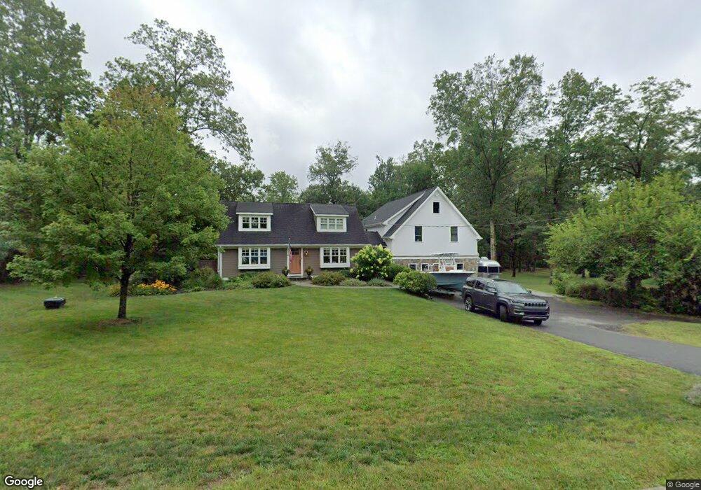
30 Lake Rd Basking Ridge, NJ 07920
Estimated Value: $964,000 - $1,456,187
Studio
--
Bath
3,629
Sq Ft
$353/Sq Ft
Est. Value
About This Home
This home is located at 30 Lake Rd, Basking Ridge, NJ 07920 and is currently estimated at $1,279,797, approximately $352 per square foot. 30 Lake Rd is a home located in Somerset County with nearby schools including Cedar Hill Elementary School, William Annin Middle School, and Ridge High School.
Ownership History
Date
Name
Owned For
Owner Type
Purchase Details
Closed on
Aug 27, 2009
Sold by
Meis Timothy A and Meis Caitlyn D
Bought by
Liguori Kevin D and Liguori Lindsay S
Current Estimated Value
Home Financials for this Owner
Home Financials are based on the most recent Mortgage that was taken out on this home.
Original Mortgage
$395,000
Outstanding Balance
$259,507
Interest Rate
5.28%
Mortgage Type
New Conventional
Estimated Equity
$1,020,290
Purchase Details
Closed on
Jul 28, 2000
Sold by
Doerr Michael
Bought by
Meis Tim and Meis Caitlyn
Home Financials for this Owner
Home Financials are based on the most recent Mortgage that was taken out on this home.
Original Mortgage
$227,600
Interest Rate
8.18%
Purchase Details
Closed on
Dec 12, 1997
Sold by
Thomas Thomas
Bought by
Doerr Michael and Hagovsky Marion
Home Financials for this Owner
Home Financials are based on the most recent Mortgage that was taken out on this home.
Original Mortgage
$192,000
Interest Rate
7.15%
Create a Home Valuation Report for This Property
The Home Valuation Report is an in-depth analysis detailing your home's value as well as a comparison with similar homes in the area
Home Values in the Area
Average Home Value in this Area
Purchase History
| Date | Buyer | Sale Price | Title Company |
|---|---|---|---|
| Liguori Kevin D | $495,000 | None Available | |
| Meis Tim | $284,500 | -- | |
| Doerr Michael | $240,000 | -- |
Source: Public Records
Mortgage History
| Date | Status | Borrower | Loan Amount |
|---|---|---|---|
| Open | Liguori Kevin D | $395,000 | |
| Previous Owner | Meis Tim | $227,600 | |
| Previous Owner | Doerr Michael | $192,000 |
Source: Public Records
Tax History
| Year | Tax Paid | Tax Assessment Tax Assessment Total Assessment is a certain percentage of the fair market value that is determined by local assessors to be the total taxable value of land and additions on the property. | Land | Improvement |
|---|---|---|---|---|
| 2025 | $19,402 | $1,209,300 | $343,400 | $865,900 |
| 2024 | $19,402 | $1,090,600 | $315,400 | $775,200 |
| 2023 | $11,793 | $625,300 | $315,400 | $309,900 |
| 2022 | $11,959 | $594,700 | $315,400 | $279,300 |
| 2021 | $11,884 | $563,200 | $315,400 | $247,800 |
| 2020 | $10,430 | $498,100 | $316,800 | $181,300 |
| 2019 | $10,170 | $500,000 | $316,800 | $183,200 |
| 2018 | $9,243 | $461,000 | $321,400 | $139,600 |
| 2017 | $9,189 | $462,000 | $321,400 | $140,600 |
| 2016 | $8,877 | $455,000 | $321,400 | $133,600 |
| 2015 | $8,599 | $448,800 | $313,400 | $135,400 |
| 2014 | $8,237 | $425,900 | $310,600 | $115,300 |
Source: Public Records
Map
Nearby Homes
Your Personal Tour Guide
Ask me questions while you tour the home.