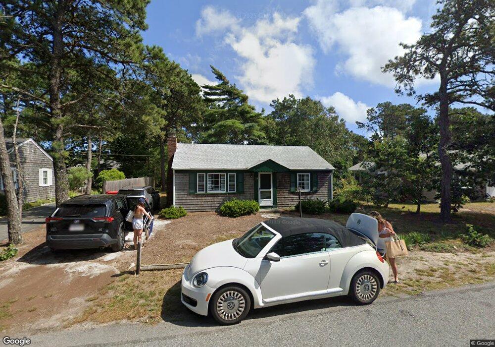
30 Lawrence Rd Dennis Port, MA 02639
Dennis Port NeighborhoodEstimated Value: $475,000 - $620,000
2
Beds
1
Bath
800
Sq Ft
$678/Sq Ft
Est. Value
About This Home
This home is located at 30 Lawrence Rd, Dennis Port, MA 02639 and is currently estimated at $542,705, approximately $678 per square foot. 30 Lawrence Rd is a home located in Barnstable County with nearby schools including Dennis-Yarmouth Regional High School and St. Pius X. School.
Ownership History
Date
Name
Owned For
Owner Type
Purchase Details
Closed on
Aug 17, 2021
Sold by
Corrigan Michael E and Corrigan Lynne A
Bought by
Corrigan Michael E
Current Estimated Value
Purchase Details
Closed on
Dec 8, 1997
Sold by
Singer Carole J and Singer Jeremy C
Bought by
Corrigan Michael E and Corrigan Lynne A
Home Financials for this Owner
Home Financials are based on the most recent Mortgage that was taken out on this home.
Original Mortgage
$80,000
Interest Rate
7.28%
Mortgage Type
Purchase Money Mortgage
Purchase Details
Closed on
Dec 13, 1991
Sold by
Courcy Norman E and Courcy Maureen T
Bought by
Singer Carol J and Jackowski James A
Home Financials for this Owner
Home Financials are based on the most recent Mortgage that was taken out on this home.
Original Mortgage
$88,000
Interest Rate
8.73%
Mortgage Type
Purchase Money Mortgage
Create a Home Valuation Report for This Property
The Home Valuation Report is an in-depth analysis detailing your home's value as well as a comparison with similar homes in the area
Home Values in the Area
Average Home Value in this Area
Purchase History
| Date | Buyer | Sale Price | Title Company |
|---|---|---|---|
| Corrigan Michael E | -- | None Available | |
| Corrigan Michael E | $100,000 | -- | |
| Singer Carol J | $110,000 | -- |
Source: Public Records
Mortgage History
| Date | Status | Borrower | Loan Amount |
|---|---|---|---|
| Previous Owner | Corrigan Michael E | $80,000 | |
| Previous Owner | Singer Carol J | $88,000 |
Source: Public Records
Tax History Compared to Growth
Tax History
| Year | Tax Paid | Tax Assessment Tax Assessment Total Assessment is a certain percentage of the fair market value that is determined by local assessors to be the total taxable value of land and additions on the property. | Land | Improvement |
|---|---|---|---|---|
| 2025 | $2,052 | $473,900 | $207,400 | $266,500 |
| 2024 | $1,922 | $437,700 | $199,500 | $238,200 |
| 2023 | $1,858 | $397,900 | $181,300 | $216,600 |
| 2022 | $1,804 | $322,200 | $163,400 | $158,800 |
| 2021 | $1,890 | $313,500 | $183,000 | $130,500 |
| 2020 | $1,759 | $288,300 | $160,100 | $128,200 |
| 2019 | $1,671 | $270,800 | $157,000 | $113,800 |
| 2018 | $1,595 | $251,600 | $149,500 | $102,100 |
| 2017 | $1,461 | $237,600 | $138,800 | $98,800 |
| 2016 | $1,521 | $232,900 | $149,500 | $83,400 |
| 2015 | $1,491 | $232,900 | $149,500 | $83,400 |
| 2014 | $1,343 | $211,500 | $128,100 | $83,400 |
Source: Public Records
Map
Nearby Homes
- 80 Michaels Ave
- 37 Ocean Dr Unit 2
- 64 Beaten Rd
- 31 Easy St
- 112 Old Wharf Rd Unit E4
- 112 Old Wharf Rd Unit E1
- 19 Standish Way
- 120 Old Wharf Rd Unit 11
- 154 Old Wharf Rd Unit 26
- 154 Old Wharf Rd Unit 14
- 22 Wixon Rd
- 61 Trotters Ln
- 12 Spoonbill Rd
- 4 Coffey Ln
- 217 Old Wharf Rd Unit 64
- 71 Main St
- 15 Woodside Park Rd
- 262 Old Wharf Rd Unit 67
- 262 Old Wharf Rd Unit 5
- 262 Old Wharf Rd Unit 5
- 28 Lawrence Rd
- 34 Lawrence Rd
- 25 Polly Fisk Ln
- 36 Lawrence Rd
- 24 Lawrence Rd
- 29 Lawrence Rd
- 31 Polly Fisk Ln
- 40 Lawrence Rd
- 37 Lawrence Rd
- 20 Lawrence Rd
- 25 Lawrence Rd
- 39 Lawrence Rd
- 22 Polly Fisk Ln Unit 22
- 42 Lawrence Rd
- 16 Lawrence Rd
- 21 Lawrence Rd
- 32 Polly Fisk Ln
- 6 Polly Fisk Ln Unit 10
- 6 Polly Fisk Ln Unit 25
- 6 Polly Fisk Ln