30 Lily Ln Hermon, ME 04401
Estimated Value: $362,000 - $413,000
2
Beds
2
Baths
1,456
Sq Ft
$270/Sq Ft
Est. Value
About This Home
This home is located at 30 Lily Ln, Hermon, ME 04401 and is currently estimated at $392,931, approximately $269 per square foot. 30 Lily Ln is a home located in Penobscot County with nearby schools including Patricia A Duran School, Hermon Middle School, and Hermon High School.
Ownership History
Date
Name
Owned For
Owner Type
Purchase Details
Closed on
Jul 29, 2021
Sold by
Tan Cesar and Tan Luann
Bought by
Mehrhoff William P and Mehrhoff Candis C
Current Estimated Value
Home Financials for this Owner
Home Financials are based on the most recent Mortgage that was taken out on this home.
Original Mortgage
$303,000
Outstanding Balance
$275,645
Interest Rate
2.93%
Mortgage Type
Purchase Money Mortgage
Estimated Equity
$117,286
Purchase Details
Closed on
Dec 8, 2008
Sold by
Rpm Group Llc
Bought by
Tan Cesar and Tan Luann
Create a Home Valuation Report for This Property
The Home Valuation Report is an in-depth analysis detailing your home's value as well as a comparison with similar homes in the area
Home Values in the Area
Average Home Value in this Area
Purchase History
| Date | Buyer | Sale Price | Title Company |
|---|---|---|---|
| Mehrhoff William P | -- | None Available | |
| Tan Cesar | -- | -- |
Source: Public Records
Mortgage History
| Date | Status | Borrower | Loan Amount |
|---|---|---|---|
| Open | Mehrhoff William P | $303,000 |
Source: Public Records
Tax History Compared to Growth
Tax History
| Year | Tax Paid | Tax Assessment Tax Assessment Total Assessment is a certain percentage of the fair market value that is determined by local assessors to be the total taxable value of land and additions on the property. | Land | Improvement |
|---|---|---|---|---|
| 2024 | $2,974 | $272,800 | $42,800 | $230,000 |
| 2023 | $2,929 | $249,300 | $39,900 | $209,400 |
| 2022 | $2,608 | $219,200 | $35,500 | $183,700 |
| 2021 | $2,141 | $178,600 | $0 | $178,600 |
| 2020 | $2,098 | $175,000 | $0 | $175,000 |
| 2019 | $2,022 | $168,600 | $0 | $168,600 |
| 2018 | $1,956 | $168,600 | $0 | $168,600 |
| 2017 | $2,106 | $172,600 | $35,300 | $137,300 |
| 2016 | $2,408 | $200,700 | $8,300 | $192,400 |
| 2015 | $2,360 | $196,700 | $8,000 | $188,700 |
| 2014 | $2,294 | $191,162 | $8,000 | $183,162 |
Source: Public Records
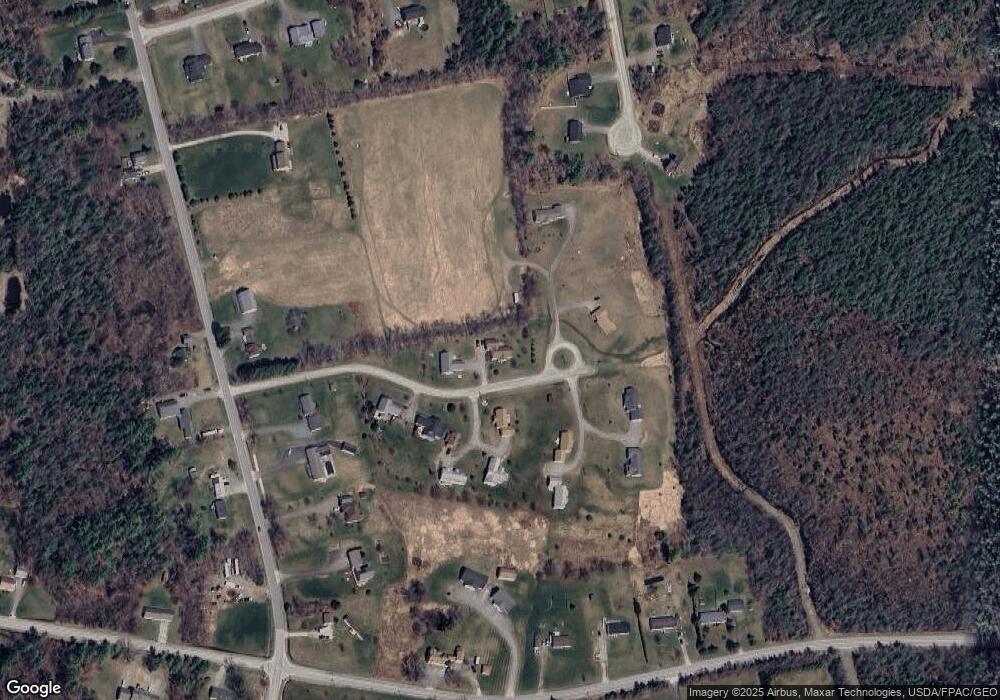
Map
Nearby Homes
- Lot 15 Hemlock Ridge Dr
- Lot 81 Fuller Rd
- 555 Westwood Dr
- 91 Wendy Acres Dr
- 22 Stoneybrook Way
- 202 Orchard Dr
- 148 Mountain View Dr
- 41 Wendy Acres Dr
- 17 Brad Dr
- Lot11 Boxwood
- 567 Deerfield Dr
- 36 Munn Dr
- 7 Beech Ridge Dr
- 37 Hunter Dr
- 37 Hunter Dr Unit 37
- 308 Clark Rd
- Lot 14 Boxwood
- 70 Silas Warren Dr
- 36 Boxwood Ln
- 905 Blackstream Rd