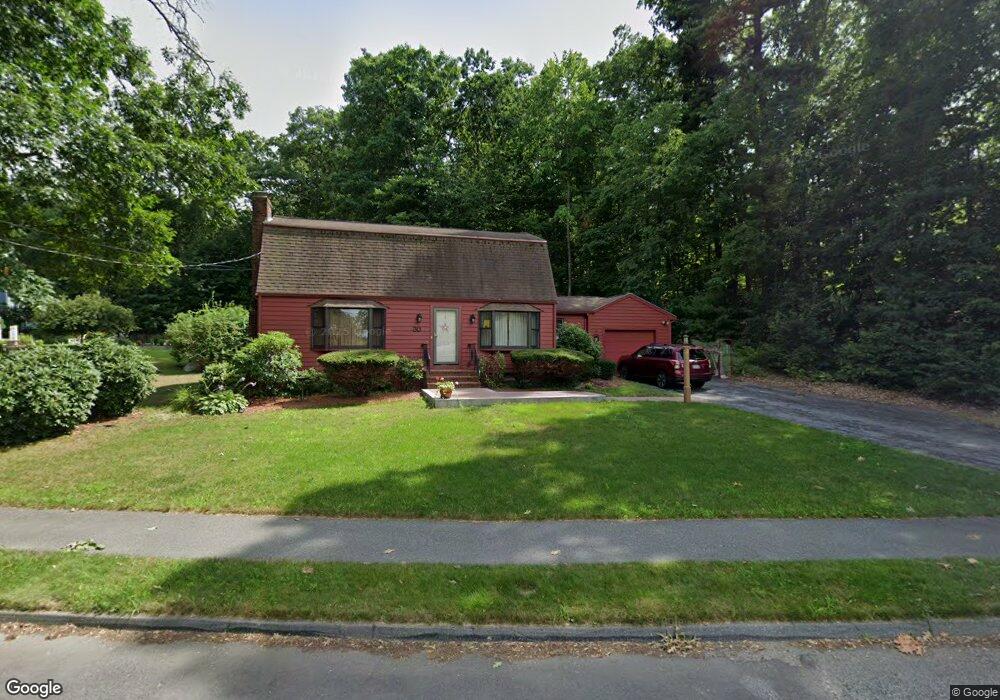
30 Linda St Westborough, MA 01581
Estimated Value: $703,997 - $761,000
3
Beds
3
Baths
1,731
Sq Ft
$426/Sq Ft
Est. Value
About This Home
This home is located at 30 Linda St, Westborough, MA 01581 and is currently estimated at $736,749, approximately $425 per square foot. 30 Linda St is a home located in Worcester County with nearby schools including Westborough High School and Al-Hamra Academy.
Ownership History
Date
Name
Owned For
Owner Type
Purchase Details
Closed on
Nov 20, 1995
Sold by
Moran Donald E and Moran Mary J
Bought by
Mccordick David W and Mccordick Kristen K
Current Estimated Value
Home Financials for this Owner
Home Financials are based on the most recent Mortgage that was taken out on this home.
Original Mortgage
$165,600
Interest Rate
7.53%
Mortgage Type
Purchase Money Mortgage
Create a Home Valuation Report for This Property
The Home Valuation Report is an in-depth analysis detailing your home's value as well as a comparison with similar homes in the area
Home Values in the Area
Average Home Value in this Area
Purchase History
| Date | Buyer | Sale Price | Title Company |
|---|---|---|---|
| Mccordick David W | $184,000 | -- |
Source: Public Records
Mortgage History
| Date | Status | Borrower | Loan Amount |
|---|---|---|---|
| Open | Mccordick David W | $200,000 | |
| Closed | Mccordick David W | $180,000 | |
| Closed | Mccordick David W | $165,600 | |
| Previous Owner | Mccordick David W | $90,000 |
Source: Public Records
Tax History Compared to Growth
Tax History
| Year | Tax Paid | Tax Assessment Tax Assessment Total Assessment is a certain percentage of the fair market value that is determined by local assessors to be the total taxable value of land and additions on the property. | Land | Improvement |
|---|---|---|---|---|
| 2025 | $9,893 | $607,300 | $353,000 | $254,300 |
| 2024 | $9,449 | $575,800 | $336,100 | $239,700 |
| 2023 | $8,764 | $520,400 | $317,000 | $203,400 |
| 2022 | $8,078 | $436,900 | $259,300 | $177,600 |
| 2021 | $3,576 | $411,500 | $233,900 | $177,600 |
| 2020 | $7,379 | $402,800 | $229,700 | $173,100 |
| 2019 | $7,130 | $389,000 | $227,600 | $161,400 |
| 2018 | $6,753 | $365,800 | $219,100 | $146,700 |
| 2017 | $3,209 | $365,800 | $219,100 | $146,700 |
| 2016 | $6,365 | $358,200 | $212,700 | $145,500 |
| 2015 | $6,257 | $336,600 | $199,900 | $136,700 |
Source: Public Records
Map
Nearby Homes
- 30 Arch St
- 10 Linda St
- 49 Arch St Unit 2
- 8 Arch St
- Lot 1 Beeton Path
- 71 Nourse St
- 8 Arch St
- 16 Daania Dr Unit 16
- 17 Olde Hickory Path
- 457 Walnut St
- 30 Old Nourse St
- 603 South St
- 1 Benjamin Dr
- 22 Capt Samuel Forbush Rd
- 165 Green St
- 562 South St
- 14 Nourse St
- 16 Ward Ln
- 9 Westminster Way
- 85 Commons Dr Unit 210