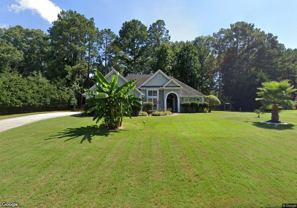
30 Lydia Ct Covington, GA 30016
Estimated Value: $277,021 - $297,000
3
Beds
2
Baths
1,706
Sq Ft
$166/Sq Ft
Est. Value
About This Home
This home is located at 30 Lydia Ct, Covington, GA 30016 and is currently estimated at $283,005, approximately $165 per square foot. 30 Lydia Ct is a home located in Newton County with nearby schools including Newton County Theme School at Ficquett, Clements Middle School, and Newton High School.
Ownership History
Date
Name
Owned For
Owner Type
Purchase Details
Closed on
Jul 3, 2018
Sold by
Ferunden Michael C
Bought by
Nashe Claude T
Current Estimated Value
Home Financials for this Owner
Home Financials are based on the most recent Mortgage that was taken out on this home.
Original Mortgage
$147,283
Outstanding Balance
$129,616
Interest Rate
5.5%
Mortgage Type
FHA
Estimated Equity
$153,389
Purchase Details
Closed on
May 26, 2009
Sold by
Lister Christen C
Bought by
Ferunden Michael C
Purchase Details
Closed on
Apr 16, 1996
Sold by
Bldrsinc Rockdale
Bought by
Feruden Michael C Christen
Create a Home Valuation Report for This Property
The Home Valuation Report is an in-depth analysis detailing your home's value as well as a comparison with similar homes in the area
Home Values in the Area
Average Home Value in this Area
Purchase History
| Date | Buyer | Sale Price | Title Company |
|---|---|---|---|
| Nashe Claude T | $150,000 | -- | |
| Ferunden Michael C | -- | -- | |
| Feruden Michael C Christen | $114,000 | -- |
Source: Public Records
Mortgage History
| Date | Status | Borrower | Loan Amount |
|---|---|---|---|
| Open | Nashe Claude T | $147,283 | |
| Closed | Feruden Michael C Christen | $0 |
Source: Public Records
Tax History
| Year | Tax Paid | Tax Assessment Tax Assessment Total Assessment is a certain percentage of the fair market value that is determined by local assessors to be the total taxable value of land and additions on the property. | Land | Improvement |
|---|---|---|---|---|
| 2025 | $2,643 | $111,360 | $17,600 | $93,760 |
| 2024 | $2,553 | $103,280 | $17,600 | $85,680 |
| 2023 | $2,635 | $99,720 | $7,200 | $92,520 |
| 2022 | $2,243 | $85,280 | $7,200 | $78,080 |
| 2021 | $2,110 | $72,320 | $7,200 | $65,120 |
| 2020 | $2,004 | $62,560 | $7,200 | $55,360 |
| 2019 | $1,856 | $57,320 | $7,200 | $50,120 |
| 2018 | $1,716 | $52,920 | $7,200 | $45,720 |
| 2017 | $1,548 | $48,000 | $7,200 | $40,800 |
| 2016 | $1,466 | $45,640 | $7,200 | $38,440 |
| 2015 | $1,378 | $43,080 | $7,200 | $35,880 |
| 2014 | $1,076 | $34,320 | $0 | $0 |
Source: Public Records
Map
Nearby Homes
- 135 Flowers Dr
- 445 Piedmont Cir
- 2895 Fairview Rd
- 70 Camerons Way
- 40 Bentley Place Way
- 125 Bentley Place Way Unit 2
- 165 Bentley Place Way Unit 2
- 275 Fairview Chase Unit 1
- 95 Heather Woods Ct
- 45 Chandler Field Dr
- 20 Fair Forest Terrace
- 360 Crestfield Cir
- 100 Arlington Dr Unit 2
- 90 Partridge Dr
- 170 Heather Woods Ct
- 45 Partridge Dr
- 2610 Darlington Ct SE
- 2579 Country Club Dr SE
- 30 Crestfield Cir
- 2665 Club Forest Dr SE
Your Personal Tour Guide
Ask me questions while you tour the home.