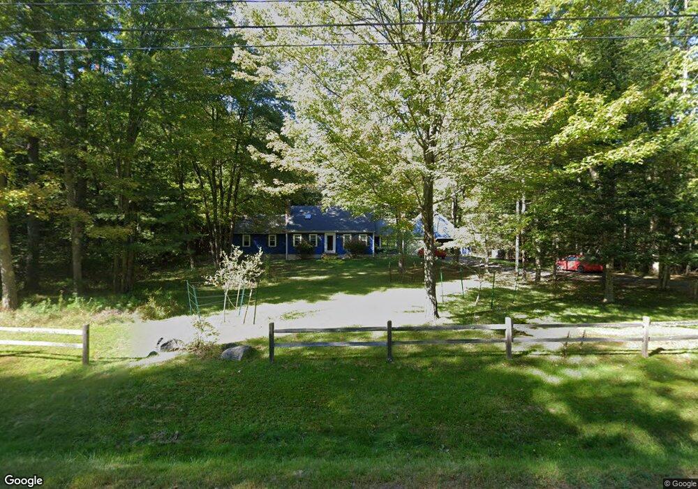
30 Mahlon Ave Gorham, ME 04038
Estimated Value: $732,325 - $811,000
4
Beds
3
Baths
3,340
Sq Ft
$231/Sq Ft
Est. Value
About This Home
This home is located at 30 Mahlon Ave, Gorham, ME 04038 and is currently estimated at $770,081, approximately $230 per square foot. 30 Mahlon Ave is a home located in Cumberland County with nearby schools including Village Elementary School and Gorham High School.
Ownership History
Date
Name
Owned For
Owner Type
Purchase Details
Closed on
Dec 28, 2011
Sold by
Cushing William R and Cushing Brady A
Bought by
Bolland Linda R and Bolland Andrew S
Current Estimated Value
Home Financials for this Owner
Home Financials are based on the most recent Mortgage that was taken out on this home.
Original Mortgage
$315,000
Outstanding Balance
$216,161
Interest Rate
4%
Mortgage Type
Purchase Money Mortgage
Estimated Equity
$553,920
Purchase Details
Closed on
Nov 6, 2006
Sold by
Berry Lester S and Berry Judith M
Bought by
Cushing William R and Cushing Brady A
Home Financials for this Owner
Home Financials are based on the most recent Mortgage that was taken out on this home.
Original Mortgage
$96,000
Interest Rate
6.47%
Mortgage Type
Purchase Money Mortgage
Create a Home Valuation Report for This Property
The Home Valuation Report is an in-depth analysis detailing your home's value as well as a comparison with similar homes in the area
Home Values in the Area
Average Home Value in this Area
Purchase History
| Date | Buyer | Sale Price | Title Company |
|---|---|---|---|
| Bolland Linda R | -- | -- | |
| Cushing William R | -- | -- |
Source: Public Records
Mortgage History
| Date | Status | Borrower | Loan Amount |
|---|---|---|---|
| Open | Bolland Linda R | $315,000 | |
| Previous Owner | Cushing William R | $96,000 |
Source: Public Records
Tax History Compared to Growth
Tax History
| Year | Tax Paid | Tax Assessment Tax Assessment Total Assessment is a certain percentage of the fair market value that is determined by local assessors to be the total taxable value of land and additions on the property. | Land | Improvement |
|---|---|---|---|---|
| 2024 | $7,684 | $522,700 | $119,900 | $402,800 |
| 2023 | $7,187 | $522,700 | $119,900 | $402,800 |
| 2022 | $6,717 | $522,700 | $119,900 | $402,800 |
| 2021 | $5,779 | $297,900 | $94,600 | $203,300 |
| 2020 | $5,660 | $297,900 | $94,600 | $203,300 |
| 2019 | $5,645 | $297,900 | $94,600 | $203,300 |
| 2018 | $5,065 | $297,900 | $94,600 | $203,300 |
| 2017 | $5,094 | $297,900 | $94,600 | $203,300 |
| 2016 | $5,068 | $298,100 | $94,800 | $203,300 |
| 2015 | $4,859 | $298,100 | $94,800 | $203,300 |
| 2014 | $4,340 | $249,400 | $87,100 | $162,300 |
| 2013 | $4,315 | $249,400 | $87,100 | $162,300 |
Source: Public Records
Map
Nearby Homes
- Unit 13 Fairway Commons Dr Unit 13
- 20 Fairway Commons Dr Unit 2
- 35 Fairway Commons Dr Unit 14
- 9 Burnham Rd
- 16 Thistle Dr Unit C
- Lot 3A Day Rd
- Lot 10 Newton Dr
- 282 South St
- 8 Mitchell Hill Rd
- 76 County Rd
- 195 Wickham Way
- 665 Saco St Unit 185
- 162 Wickham Way
- 34 Baxter Ln Unit 10
- 13 Windsor Dr
- 151 South St
- 197 New Portland Rd
- 121 Victoria Dr
- 4 Meserve Farm Rd
- 547 Saco St