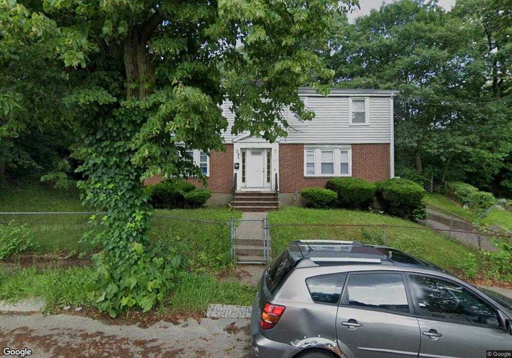
30 Mamelon Cir Mattapan, MA 02126
Southern Mattapan NeighborhoodEstimated Value: $683,000 - $900,000
6
Beds
2
Baths
2,112
Sq Ft
$392/Sq Ft
Est. Value
About This Home
This home is located at 30 Mamelon Cir, Mattapan, MA 02126 and is currently estimated at $827,188, approximately $391 per square foot. 30 Mamelon Cir is a home located in Suffolk County with nearby schools including KIPP Academy Boston Charter School and Berea Seventh-day Adventist Academy.
Ownership History
Date
Name
Owned For
Owner Type
Purchase Details
Closed on
Jan 3, 1994
Sold by
Collins Cynthia Yu
Bought by
Lespinasse Marie C
Current Estimated Value
Home Financials for this Owner
Home Financials are based on the most recent Mortgage that was taken out on this home.
Original Mortgage
$130,200
Interest Rate
7%
Mortgage Type
Purchase Money Mortgage
Create a Home Valuation Report for This Property
The Home Valuation Report is an in-depth analysis detailing your home's value as well as a comparison with similar homes in the area
Home Values in the Area
Average Home Value in this Area
Purchase History
| Date | Buyer | Sale Price | Title Company |
|---|---|---|---|
| Lespinasse Marie C | $133,000 | -- |
Source: Public Records
Mortgage History
| Date | Status | Borrower | Loan Amount |
|---|---|---|---|
| Open | Lespinasse Marie C | $140,000 | |
| Closed | Lespinasse Marie C | $130,200 | |
| Previous Owner | Lespinasse Marie C | $30,000 |
Source: Public Records
Tax History Compared to Growth
Tax History
| Year | Tax Paid | Tax Assessment Tax Assessment Total Assessment is a certain percentage of the fair market value that is determined by local assessors to be the total taxable value of land and additions on the property. | Land | Improvement |
|---|---|---|---|---|
| 2025 | $8,905 | $769,000 | $303,000 | $466,000 |
| 2024 | $8,523 | $781,900 | $292,100 | $489,800 |
| 2023 | $7,775 | $723,900 | $270,400 | $453,500 |
| 2022 | $7,876 | $723,900 | $270,400 | $453,500 |
| 2021 | $7,287 | $682,900 | $255,100 | $427,800 |
| 2020 | $6,016 | $569,700 | $253,200 | $316,500 |
| 2019 | $5,357 | $508,300 | $195,700 | $312,600 |
| 2018 | $5,025 | $479,500 | $195,700 | $283,800 |
| 2017 | $4,832 | $456,300 | $191,400 | $264,900 |
| 2016 | $4,692 | $426,500 | $191,400 | $235,100 |
| 2015 | $4,202 | $347,000 | $175,000 | $172,000 |
| 2014 | $3,897 | $309,800 | $175,000 | $134,800 |
Source: Public Records
Map
Nearby Homes
- 10 Briarcliff Terrace
- 24 Constitution Rd
- 32 Violet St
- 4 Crossman St Unit 4
- 11 French St
- 333 Eliot St
- 1465 Blue Hill Ave
- 157 Delhi St
- 32 Columbine Rd
- 15 Cantwell Rd
- 27 Hawthorn Rd
- 95 Woodhaven St
- 12 Hiawatha Rd
- 567B Norfolk St
- 30 Glenhill Rd
- 84 Blue Hills Pkwy
- 15 Fairfax Rd
- 48-50 Rockdale St
- 710 Walk Hill St
- 16 Blue Hill Ave
- 34 Mamelon Cir
- 34 Mamelon Cir Unit 1
- 7 Linvale Terrace
- 11 Linvale Terrace
- 15 Linvale Terrace
- 10 Gladeside Ave
- 371 River St
- 371 River St Unit right
- 15 Mamelon Cir
- 15 Mamelon Cir Unit 2
- 375 River St
- 375 River St Unit 1
- 379 River St
- 367 River St
- 367 River St Unit 2
- 19 Mamelon Cir
- 19 Mamelon Cir Unit 2
- 18 Gladeside Ave
- 9 Viking Terrace
- 383 River St