30 Maple Ln Coatesville, PA 19320
Estimated Value: $487,392 - $628,000
2
Beds
2
Baths
1,411
Sq Ft
$383/Sq Ft
Est. Value
About This Home
This home is located at 30 Maple Ln, Coatesville, PA 19320 and is currently estimated at $540,348, approximately $382 per square foot. 30 Maple Ln is a home located in Chester County with nearby schools including Caln Elementary School, Coatesville Intermediate High School, and Coatesville Area Senior High School.
Ownership History
Date
Name
Owned For
Owner Type
Purchase Details
Closed on
Jul 28, 2014
Sold by
Stoke Robert A and Stoke Wendy W
Bought by
Rosenberg David and Mcluckie Jennifer
Current Estimated Value
Home Financials for this Owner
Home Financials are based on the most recent Mortgage that was taken out on this home.
Original Mortgage
$254,400
Outstanding Balance
$194,486
Interest Rate
4.18%
Mortgage Type
New Conventional
Estimated Equity
$345,862
Purchase Details
Closed on
Jan 26, 2012
Sold by
Stoke Robert A and Schofield Wendy W
Bought by
Stoke Robert A and Schofield Wendy W
Purchase Details
Closed on
Feb 23, 2005
Sold by
Heist Allen and Heist Stephanie
Bought by
Stoke Robert A and Schofield Wendy W
Home Financials for this Owner
Home Financials are based on the most recent Mortgage that was taken out on this home.
Original Mortgage
$205,000
Interest Rate
5.73%
Mortgage Type
Purchase Money Mortgage
Purchase Details
Closed on
Aug 30, 2002
Sold by
Fitzmaurice Ruth C Adams
Bought by
Heist Stephanie and Heist Allen
Home Financials for this Owner
Home Financials are based on the most recent Mortgage that was taken out on this home.
Original Mortgage
$193,600
Interest Rate
6.48%
Purchase Details
Closed on
Aug 15, 2001
Sold by
Byler John D
Bought by
Fitzmaurice Ruth C
Create a Home Valuation Report for This Property
The Home Valuation Report is an in-depth analysis detailing your home's value as well as a comparison with similar homes in the area
Home Values in the Area
Average Home Value in this Area
Purchase History
| Date | Buyer | Sale Price | Title Company |
|---|---|---|---|
| Rosenberg David | $318,000 | None Available | |
| Stoke Robert A | -- | None Available | |
| Stoke Robert A | $310,000 | -- | |
| Heist Stephanie | $242,000 | -- | |
| Fitzmaurice Ruth C | $52,000 | -- |
Source: Public Records
Mortgage History
| Date | Status | Borrower | Loan Amount |
|---|---|---|---|
| Open | Rosenberg David | $254,400 | |
| Previous Owner | Stoke Robert A | $205,000 | |
| Previous Owner | Heist Stephanie | $193,600 |
Source: Public Records
Tax History Compared to Growth
Tax History
| Year | Tax Paid | Tax Assessment Tax Assessment Total Assessment is a certain percentage of the fair market value that is determined by local assessors to be the total taxable value of land and additions on the property. | Land | Improvement |
|---|---|---|---|---|
| 2025 | $8,535 | $170,290 | $44,930 | $125,360 |
| 2024 | $8,535 | $170,290 | $44,930 | $125,360 |
| 2023 | $8,305 | $170,290 | $44,930 | $125,360 |
| 2022 | $8,045 | $170,290 | $44,930 | $125,360 |
| 2021 | $7,791 | $170,290 | $44,930 | $125,360 |
| 2020 | $7,760 | $170,290 | $44,930 | $125,360 |
| 2019 | $7,514 | $170,290 | $44,930 | $125,360 |
| 2018 | $7,200 | $170,290 | $44,930 | $125,360 |
| 2017 | $6,655 | $170,290 | $44,930 | $125,360 |
| 2016 | $5,449 | $170,290 | $44,930 | $125,360 |
| 2015 | $5,449 | $170,290 | $44,930 | $125,360 |
| 2014 | $5,449 | $170,290 | $44,930 | $125,360 |
Source: Public Records
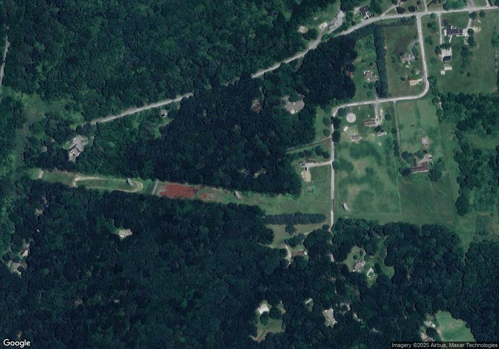
Map
Nearby Homes
- 1 Mortonville Rd
- 215 Kennedy Dr
- 213 Kennedy Dr
- 65 Lukens Mill Dr Unit 154
- 28 Pelham Dr
- 282 Derby Dr
- 6 Vinebury Ln
- 440 Oak St
- 223 Derby Dr
- Delmar Plan at Summit Village
- 119 Tudor St
- 219 Derby Dr
- 214 Andrew Rd
- 622 Walnut St
- 215 Andrew Rd
- 114 Zelkova Ln
- 300 Oaklyn Rd
- 69 Palmer Ave
- 40 Beech St
- 315 Martingale Cir