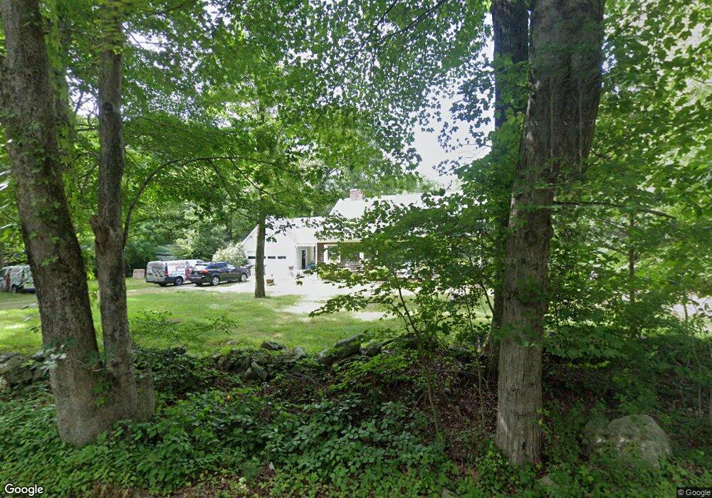
30 Maple Ln Rehoboth, MA 02769
Estimated Value: $639,595 - $789,000
4
Beds
2
Baths
2,388
Sq Ft
$303/Sq Ft
Est. Value
About This Home
This home is located at 30 Maple Ln, Rehoboth, MA 02769 and is currently estimated at $723,649, approximately $303 per square foot. 30 Maple Ln is a home located in Bristol County with nearby schools including Dighton-Rehoboth Regional High School and Cedar Brook School.
Ownership History
Date
Name
Owned For
Owner Type
Purchase Details
Closed on
Jul 15, 2011
Sold by
Norris Archie O and Norris Barbara H
Bought by
Norris Archie O and Norris Barbara H
Current Estimated Value
Purchase Details
Closed on
Feb 28, 2002
Sold by
Koerner Karl
Bought by
Norris Archie O and Norris Barbara
Create a Home Valuation Report for This Property
The Home Valuation Report is an in-depth analysis detailing your home's value as well as a comparison with similar homes in the area
Home Values in the Area
Average Home Value in this Area
Purchase History
| Date | Buyer | Sale Price | Title Company |
|---|---|---|---|
| Norris Archie O | -- | -- | |
| Norris Archie O | $11,000 | -- |
Source: Public Records
Mortgage History
| Date | Status | Borrower | Loan Amount |
|---|---|---|---|
| Previous Owner | Norris Archie O | $25,000 | |
| Previous Owner | Norris Archie O | $20,000 | |
| Previous Owner | Norris Archie O | $20,000 |
Source: Public Records
Tax History
| Year | Tax Paid | Tax Assessment Tax Assessment Total Assessment is a certain percentage of the fair market value that is determined by local assessors to be the total taxable value of land and additions on the property. | Land | Improvement |
|---|---|---|---|---|
| 2025 | $57 | $512,200 | $198,900 | $313,300 |
| 2024 | $5,296 | $466,200 | $198,900 | $267,300 |
| 2023 | $4,918 | $457,800 | $194,900 | $262,900 |
| 2022 | $4,918 | $388,200 | $186,500 | $201,700 |
| 2021 | $5,067 | $382,700 | $170,200 | $212,500 |
| 2020 | $4,930 | $375,800 | $170,200 | $205,600 |
| 2018 | $4,017 | $335,600 | $162,400 | $173,200 |
| 2017 | $3,926 | $312,600 | $162,400 | $150,200 |
| 2016 | $3,713 | $305,600 | $162,400 | $143,200 |
| 2015 | $4,094 | $332,600 | $155,200 | $177,400 |
| 2014 | $3,894 | $313,000 | $148,000 | $165,000 |
Source: Public Records
Map
Nearby Homes
- 0 Horton St Unit 73333337
- 133 Winthrop St
- 24 New St
- 23 Bay State Rd
- 2713 Horton St
- 248 County
- 0 Winthrop St Unit 73180872
- 349 Anawan St
- 145 Winthrop St
- 139 Winthrop St
- 10 Muriel Way
- 257 Anawan St
- 321 Winthrop St
- 19 Cedar St Unit 21
- 185 Moulton St
- 1 Clubhouse Way
- 111 Summer St
- 8 Linden Ln
- 8 Linden Ln
- 2188 Cedar St
- 34 Maple Ln
- 29 Maple Ln
- 25 Maple Ln
- 21 Maple Ln
- 41 Maple Ln
- 26 Maple Ln
- 40 Maple Ln
- 15 Maple Ln
- 16 Maple Ln
- 22 Maple Ln
- 45 Maple Ln
- 10 Maple Ln
- 0 Maple Lane L-17a Unit 50491783
- 0 Maple Lane L-M41 P-17d Unit 50491784
- 0 Maple Lane L-7e Unit 50491781
- 11 Maple Ln
- 48 Maple Ln
- 51 Maple Ln
- 52 Maple Ln
- 7 Maple Ln
Your Personal Tour Guide
Ask me questions while you tour the home.