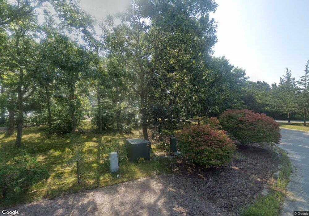
30 Maritime Dr Unit 1 Wareham, MA 02571
Estimated Value: $1,011,841 - $1,295,000
4
Beds
1
Bath
2,000
Sq Ft
$577/Sq Ft
Est. Value
About This Home
This home is located at 30 Maritime Dr Unit 1, Wareham, MA 02571 and is currently estimated at $1,154,710, approximately $577 per square foot. 30 Maritime Dr Unit 1 is a home located in Plymouth County.
Ownership History
Date
Name
Owned For
Owner Type
Purchase Details
Closed on
Jun 11, 2018
Sold by
Astie Philippe and Bouty-Astie Frederique
Bought by
Churchill Charles E and Churchili Myrieme
Current Estimated Value
Purchase Details
Closed on
Oct 31, 1996
Sold by
Lane Frederick A and Lane Nancy A
Bought by
Astie Philippe and Bouty-Astie Frederick
Purchase Details
Closed on
Jun 25, 1992
Sold by
Gragnani Joseph L and Gragnani Louise M
Bought by
Lane Frederick A and Lane Nancy A
Home Financials for this Owner
Home Financials are based on the most recent Mortgage that was taken out on this home.
Original Mortgage
$275,000
Interest Rate
8.57%
Mortgage Type
Purchase Money Mortgage
Create a Home Valuation Report for This Property
The Home Valuation Report is an in-depth analysis detailing your home's value as well as a comparison with similar homes in the area
Purchase History
| Date | Buyer | Sale Price | Title Company |
|---|---|---|---|
| Churchill Charles E | $655,000 | -- | |
| Churchill Charles E | $655,000 | -- | |
| Astie Philippe | $360,000 | -- | |
| Astie Philippe | $360,000 | -- | |
| Lane Frederick A | $350,000 | -- | |
| Lane Frederick A | $350,000 | -- |
Source: Public Records
Mortgage History
| Date | Status | Borrower | Loan Amount |
|---|---|---|---|
| Previous Owner | Lane Frederick A | $500,000 | |
| Previous Owner | Lane Frederick A | $275,000 |
Source: Public Records
Tax History Compared to Growth
Tax History
| Year | Tax Paid | Tax Assessment Tax Assessment Total Assessment is a certain percentage of the fair market value that is determined by local assessors to be the total taxable value of land and additions on the property. | Land | Improvement |
|---|---|---|---|---|
| 2025 | $9,779 | $938,500 | $549,700 | $388,800 |
| 2024 | $8,957 | $797,600 | $425,000 | $372,600 |
| 2023 | $8,587 | $713,800 | $385,800 | $328,000 |
| 2022 | $9,081 | $689,000 | $385,800 | $303,200 |
| 2021 | $8,601 | $639,500 | $385,800 | $253,700 |
| 2020 | $8,245 | $621,800 | $385,800 | $236,000 |
| 2019 | $8,342 | $627,700 | $426,500 | $201,200 |
| 2018 | $8,556 | $627,700 | $426,500 | $201,200 |
| 2017 | $8,281 | $615,700 | $426,500 | $189,200 |
| 2016 | $9,225 | $681,800 | $514,400 | $167,400 |
| 2015 | $8,625 | $659,900 | $514,400 | $145,500 |
| 2014 | $8,923 | $694,400 | $523,800 | $170,600 |
Source: Public Records
Map
Nearby Homes
- 65 Great Neck Rd
- 10 Over Jordan Rd
- 8 Over Jordan Rd
- 14 Over Jordan Rd
- 200 Great Neck Rd
- 119 Squaws Path
- 0 Squaw's Path
- 6 Beacon St Unit 79
- 8 Beacon St Unit 80
- 10 Beacon St Unit 83
- 7 Cranberry Ln
- 38 Amos Way
- 4 Penny Ln
- 26 Highland Ave
- 45 Kins Ct
- 1 Gibbs Ball Park Rd
- 12 Beacon St Unit 84
- 248 Great Neck Rd
- 124 Minot Ave Unit 1
- 11 Turner Ave
- 30 Maritime Dr
- 28 Maritime Dr
- 78 Martin St
- 48 Martin St
- 32 Martin St
- 29 Martin St
- 26 Maritime Dr
- 25 Maritime Dr
- 25 Maritime Dr Unit n/a
- 25 Maritime Dr Unit 25-B
- 24 Maritime Dr
- 23 Maritime Dr
- 2 Tarpaulin Way
- 20 Maritime Dr
- 4 Tarpaulin Way
- Lot 4 Jays Way
- 19 Maritime Dr
- Lot 3 Jays Way
- 3 Tarpaulin Way
- 6 Tarpaulin Way
