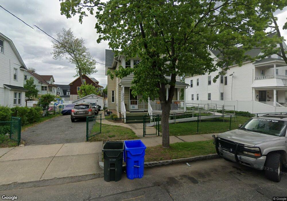
30 Middlesex St Springfield, MA 01109
Upper Hill NeighborhoodEstimated Value: $268,000 - $304,000
3
Beds
2
Baths
2,244
Sq Ft
$129/Sq Ft
Est. Value
About This Home
This home is located at 30 Middlesex St, Springfield, MA 01109 and is currently estimated at $289,454, approximately $128 per square foot. 30 Middlesex St is a home located in Hampden County with nearby schools including Homer Street Elementary School, John J Duggan Middle, and Springfield High School of Science and Technology.
Ownership History
Date
Name
Owned For
Owner Type
Purchase Details
Closed on
Jan 4, 2007
Sold by
Ranson Linton A
Bought by
Ranson Marie A and Ranson Linton
Current Estimated Value
Create a Home Valuation Report for This Property
The Home Valuation Report is an in-depth analysis detailing your home's value as well as a comparison with similar homes in the area
Home Values in the Area
Average Home Value in this Area
Purchase History
| Date | Buyer | Sale Price | Title Company |
|---|---|---|---|
| Ranson Marie A | -- | -- |
Source: Public Records
Tax History
| Year | Tax Paid | Tax Assessment Tax Assessment Total Assessment is a certain percentage of the fair market value that is determined by local assessors to be the total taxable value of land and additions on the property. | Land | Improvement |
|---|---|---|---|---|
| 2025 | $3,250 | $207,300 | $31,400 | $175,900 |
| 2024 | $3,210 | $199,900 | $31,400 | $168,500 |
| 2023 | $2,960 | $173,600 | $28,600 | $145,000 |
| 2022 | $2,855 | $151,700 | $26,700 | $125,000 |
| 2021 | $2,674 | $141,500 | $18,900 | $122,600 |
| 2020 | $2,633 | $134,800 | $18,900 | $115,900 |
| 2019 | $2,385 | $121,200 | $16,100 | $105,100 |
| 2018 | $2,312 | $117,500 | $16,100 | $101,400 |
| 2017 | $2,206 | $112,200 | $15,200 | $97,000 |
| 2016 | $2,168 | $110,300 | $15,200 | $95,100 |
| 2015 | $2,154 | $109,500 | $15,200 | $94,300 |
Source: Public Records
Map
Nearby Homes
- 31-33 Suffolk St
- 62-64 Bristol St
- 48-50 Dresden St
- 89 Bristol St
- 25 Dresden St
- 135-137 Suffolk St
- 111 Marlborough St
- 124-126 Westford Cir
- 19 Westford Ave
- 21 Westford Cir
- 46 Mapledell St
- 87 Fenwick St
- 867 Roosevelt Ave
- 11 Ina St
- 65 Montrose St
- 15 Kenyon St
- 189 Northampton Ave
- 52-56 Andrew St
- 0 NS (24) Alden St
- 145 Cambridge St
- 36 Middlesex St
- 24 Middlesex St
- 27 Wellington St
- 35 Wellington St
- 18 Middlesex St Unit 20
- 18-20 Middlesex St
- 42 Middlesex St
- 21 Wellington St
- 25 Wellington St
- 37 Wellington St
- 31 Middlesex St
- 23 Middlesex St
- 14 Middlesex St
- 46 Middlesex St Unit 48
- 35 Middlesex St
- 46-48 Middlesex St
- 17-19 Middlesex St
- 17 Middlesex St Unit 19
- 43 Wellington St
- 43 Wellington St Unit 2
Your Personal Tour Guide
Ask me questions while you tour the home.