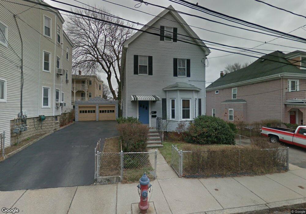
30 Moore St Unit 2 Somerville, MA 02144
Teele Square NeighborhoodEstimated Value: $1,176,000 - $1,421,878
3
Beds
1
Bath
1,200
Sq Ft
$1,061/Sq Ft
Est. Value
About This Home
This home is located at 30 Moore St Unit 2, Somerville, MA 02144 and is currently estimated at $1,273,220, approximately $1,061 per square foot. 30 Moore St Unit 2 is a home located in Middlesex County with nearby schools including Somerville High School, Benjamin Banneker Charter Public School, and International School of Boston.
Ownership History
Date
Name
Owned For
Owner Type
Purchase Details
Closed on
Oct 18, 2013
Sold by
Skinner Patricia A and Hayes Alice B
Bought by
Youtz Benjamin and Marlowe-Youtz Carissa R
Current Estimated Value
Home Financials for this Owner
Home Financials are based on the most recent Mortgage that was taken out on this home.
Original Mortgage
$667,683
Outstanding Balance
$503,267
Interest Rate
4.58%
Mortgage Type
Purchase Money Mortgage
Estimated Equity
$769,953
Create a Home Valuation Report for This Property
The Home Valuation Report is an in-depth analysis detailing your home's value as well as a comparison with similar homes in the area
Home Values in the Area
Average Home Value in this Area
Purchase History
| Date | Buyer | Sale Price | Title Company |
|---|---|---|---|
| Youtz Benjamin | $680,000 | -- |
Source: Public Records
Mortgage History
| Date | Status | Borrower | Loan Amount |
|---|---|---|---|
| Open | Youtz Benjamin | $667,683 |
Source: Public Records
Tax History
| Year | Tax Paid | Tax Assessment Tax Assessment Total Assessment is a certain percentage of the fair market value that is determined by local assessors to be the total taxable value of land and additions on the property. | Land | Improvement |
|---|---|---|---|---|
| 2025 | $13,173 | $1,207,400 | $760,000 | $447,400 |
| 2024 | $12,618 | $1,199,400 | $760,000 | $439,400 |
| 2023 | $12,092 | $1,169,400 | $760,000 | $409,400 |
| 2022 | $11,373 | $1,117,200 | $723,800 | $393,400 |
| 2021 | $10,945 | $1,074,100 | $702,600 | $371,500 |
| 2020 | $10,131 | $1,004,100 | $654,600 | $349,500 |
| 2019 | $9,486 | $881,600 | $582,000 | $299,600 |
| 2018 | $9,481 | $838,300 | $579,900 | $258,400 |
| 2017 | $9,283 | $795,500 | $547,100 | $248,400 |
| 2016 | $9,309 | $742,900 | $516,800 | $226,100 |
| 2015 | $8,411 | $667,000 | $473,200 | $193,800 |
Source: Public Records
Map
Nearby Homes
- 30 Clarendon Ave
- 5 Glendale Ave Unit 5
- 34 Elmwood St Unit 2
- 2 Gold Star Ct
- 69 Electric Ave Unit 3
- 69 Electric Ave Unit 1
- 14 Farragut Ave Unit 1
- 42 Packard Ave Unit 42
- 1004 Broadway Unit 3
- 55 Packard Ave Unit 1
- 97 Elmwood St Unit 313
- 97 Elmwood St Unit 110
- 97 Elmwood St Unit 310
- 9-11 Edmunds St
- 202 Powder House Blvd Unit 1
- 202 Powder House Blvd Unit 2
- 2353 Massachusetts Ave Unit 44
- 17 Holland St Unit 301
- 69 Harvey St Unit 1
- 38 Brookford St Unit 2
- 30 Moore St
- 26 Moore St
- 34 Moore St
- 17 Claremon St
- 38 Moore St
- 38 Moore St
- 38 Moore St Unit 2
- 38 Moore St Unit 1
- 15 Claremon St
- 15 Claremon St Unit 3
- 21 Claremon St
- 20 Moore St
- 20 Moore St Unit 2
- 29 Moore St
- 29 Moore St Unit 29
- 31 Moore St
- 27 Moore St
- 9 Claremon St Unit 3
- 9 Claremon St Unit 2
- 9 Claremon St Unit 1
Your Personal Tour Guide
Ask me questions while you tour the home.