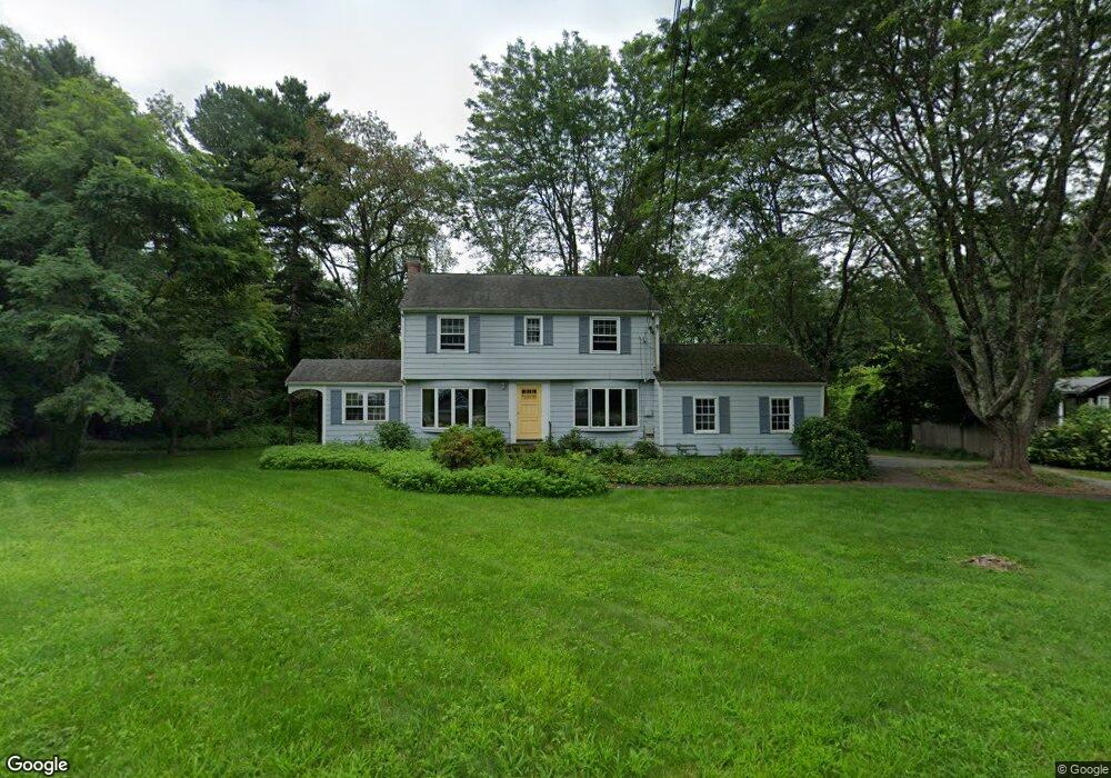
30 Morningside Ln Lincoln, MA 01773
Estimated Value: $910,000 - $1,375,000
4
Beds
3
Baths
2,500
Sq Ft
$468/Sq Ft
Est. Value
About This Home
This home is located at 30 Morningside Ln, Lincoln, MA 01773 and is currently estimated at $1,170,371, approximately $468 per square foot. 30 Morningside Ln is a home located in Middlesex County with nearby schools including Lincoln-Sudbury Regional High School, Tremont School, and The Fenn School.
Ownership History
Date
Name
Owned For
Owner Type
Purchase Details
Closed on
Jun 28, 2016
Sold by
Richard John J and Ginsburg-Richard Jennifer
Bought by
Richard Ft
Current Estimated Value
Purchase Details
Closed on
Aug 1, 2002
Sold by
Hoben Allan and Hoben Susan
Bought by
Richard John J and Richard Jennifer G
Home Financials for this Owner
Home Financials are based on the most recent Mortgage that was taken out on this home.
Original Mortgage
$488,000
Interest Rate
6.64%
Mortgage Type
Purchase Money Mortgage
Create a Home Valuation Report for This Property
The Home Valuation Report is an in-depth analysis detailing your home's value as well as a comparison with similar homes in the area
Home Values in the Area
Average Home Value in this Area
Purchase History
| Date | Buyer | Sale Price | Title Company |
|---|---|---|---|
| Richard Ft | -- | -- | |
| Richard John J | $610,000 | -- |
Source: Public Records
Mortgage History
| Date | Status | Borrower | Loan Amount |
|---|---|---|---|
| Previous Owner | Richard John J | $488,000 |
Source: Public Records
Tax History Compared to Growth
Tax History
| Year | Tax Paid | Tax Assessment Tax Assessment Total Assessment is a certain percentage of the fair market value that is determined by local assessors to be the total taxable value of land and additions on the property. | Land | Improvement |
|---|---|---|---|---|
| 2025 | $117 | $914,300 | $665,500 | $248,800 |
| 2024 | $11,573 | $897,800 | $652,400 | $245,400 |
| 2023 | $11,757 | $844,600 | $600,900 | $243,700 |
| 2022 | $11,389 | $762,800 | $543,200 | $219,600 |
| 2021 | $52,098 | $686,500 | $480,700 | $205,800 |
| 2020 | $81,872 | $684,700 | $480,700 | $204,000 |
| 2019 | $76,090 | $659,200 | $465,600 | $193,600 |
| 2018 | $8,965 | $659,200 | $465,600 | $193,600 |
| 2017 | $76,180 | $626,400 | $439,500 | $186,900 |
| 2016 | $8,533 | $609,900 | $426,500 | $183,400 |
| 2015 | $8,159 | $576,600 | $394,900 | $181,700 |
| 2014 | $7,541 | $523,300 | $353,700 | $169,600 |
Source: Public Records
Map
Nearby Homes
- 16 Old Cambridge Turnpike
- 29 S Commons Unit D
- 5 South Commons Unit D
- 36 Indian Camp Ln Unit D
- 22 Old Cambridge Turnpike
- 241 Shadyside Ave
- 646 Cambridge Turnpike
- 9 Garland Rd
- 10 Reiling Pond Rd
- 84 Davison Dr
- 69 Page Rd
- 22 Lincoln Rd
- 60 Baker Bridge Rd
- 16 Hatch Farm Ln
- 10 Hatch Farm Ln
- 28 Hatch Farm Ln
- 8 Stratford Way
- 44 Baker Bridge Rd
- 96 Independence Rd
- 140 Revolutionary Rd
- 30 Morningside Ln
- 26 Morningside Ln
- 26 Morningside Ln Unit 1
- 34 Morningside Ln
- 31 Morningside Ln
- 27 Morningside Ln
- 25 Morningside Ln
- 20 Morningside Ln
- 2 Sunnyside Ln
- 23 Morningside Ln
- 38 Morningside Ln
- 7 Sunnyside Ln
- 14 Morningside Ln
- 19 Morningside Ln
- 8 Sunnyside Ln
- 40 Morningside Ln
- 39 Morningside Ln
- 17 Morningside Ln
- 8 Brooks Hill Rd
- 11 Sunnyside Ln