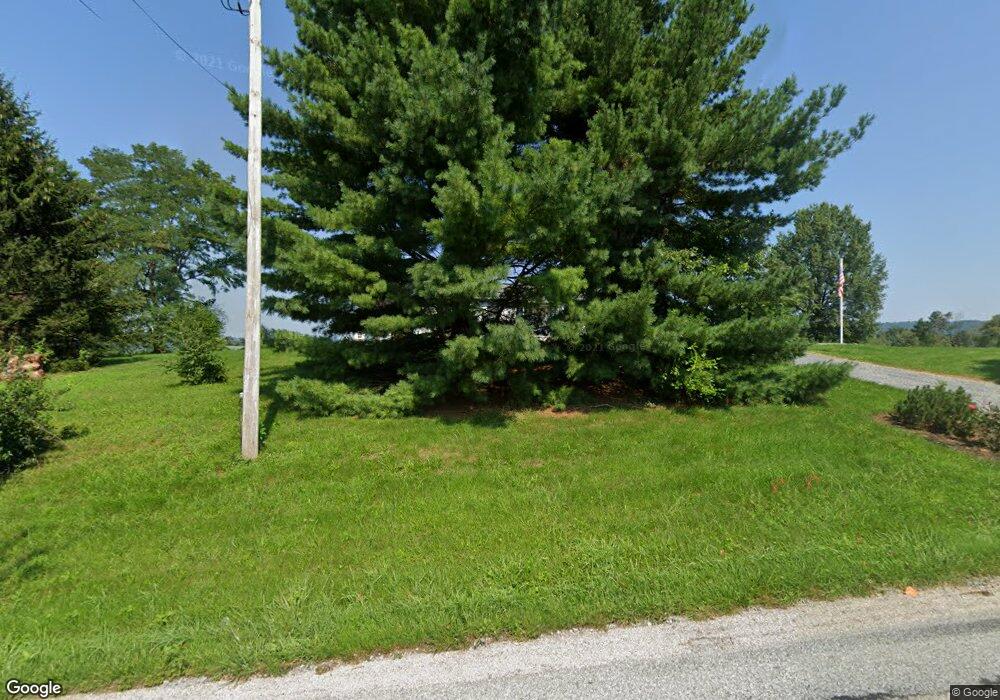
30 Mount Top Rd Wellsville, PA 17365
Estimated Value: $243,000 - $343,000
3
Beds
1
Bath
1,144
Sq Ft
$244/Sq Ft
Est. Value
About This Home
This home is located at 30 Mount Top Rd, Wellsville, PA 17365 and is currently estimated at $279,197, approximately $244 per square foot. 30 Mount Top Rd is a home located in York County with nearby schools including Dover Area High School.
Ownership History
Date
Name
Owned For
Owner Type
Purchase Details
Closed on
Sep 4, 2013
Sold by
Melhorn Christine E
Bought by
Atland Clinton E and Atland Kaylyn M
Current Estimated Value
Home Financials for this Owner
Home Financials are based on the most recent Mortgage that was taken out on this home.
Original Mortgage
$95,000
Outstanding Balance
$70,948
Interest Rate
4.42%
Mortgage Type
New Conventional
Estimated Equity
$208,249
Purchase Details
Closed on
Feb 21, 2001
Sold by
Melhorn Randell E and Melhorn Christine E
Bought by
Melhorn Christine E
Create a Home Valuation Report for This Property
The Home Valuation Report is an in-depth analysis detailing your home's value as well as a comparison with similar homes in the area
Home Values in the Area
Average Home Value in this Area
Purchase History
| Date | Buyer | Sale Price | Title Company |
|---|---|---|---|
| Atland Clinton E | $120,000 | None Available | |
| Melhorn Christine E | -- | -- |
Source: Public Records
Mortgage History
| Date | Status | Borrower | Loan Amount |
|---|---|---|---|
| Open | Atland Clinton E | $95,000 |
Source: Public Records
Tax History Compared to Growth
Tax History
| Year | Tax Paid | Tax Assessment Tax Assessment Total Assessment is a certain percentage of the fair market value that is determined by local assessors to be the total taxable value of land and additions on the property. | Land | Improvement |
|---|---|---|---|---|
| 2025 | $4,332 | $157,610 | $69,630 | $87,980 |
| 2024 | $4,285 | $157,610 | $69,630 | $87,980 |
| 2023 | $4,200 | $157,610 | $69,630 | $87,980 |
| 2022 | $4,111 | $157,610 | $69,630 | $87,980 |
| 2021 | $4,612 | $157,610 | $69,630 | $87,980 |
| 2020 | $4,570 | $157,610 | $69,630 | $87,980 |
| 2019 | $4,511 | $157,610 | $69,630 | $87,980 |
| 2018 | $4,442 | $157,610 | $69,630 | $87,980 |
| 2017 | $4,442 | $157,610 | $69,630 | $87,980 |
| 2016 | $0 | $157,610 | $69,630 | $87,980 |
| 2015 | -- | $157,610 | $69,630 | $87,980 |
| 2014 | -- | $157,610 | $69,630 | $87,980 |
Source: Public Records
Map
Nearby Homes
- 206 Bentz Mill Rd
- 375 Mount Zion Rd
- 1540 Baltimore Rd
- 112 W South St
- 0 Church St Unit PAYK2054218
- 81 Tannery Rd
- 22 Bentz Mill Rd
- 138 S Peiffer Rd
- Tract #1 Carlisle Rd
- lot 1 Baltimore St
- 1014 Pondtown Rd
- 200 Franklintown Rd
- 10 Hull Dr
- 124 Big Dam Rd
- 265 Pine Woods Rd
- 65 Walmar Manor
- 78 Walmar Manor
- Lot 2A Nursery Rd
- Lot 3A Nursery Rd
- Lot 2 Nursery Rd
- 34 Mount Top Rd
- 20 Mount Top Rd
- 40 Mount Top Rd
- 70 E Barrens Valley Rd
- 9295 Carlisle Rd
- 9315 Carlisle Rd
- 50 E Barrens Valley Rd
- 9222 Carlisle Rd
- 9325 Carlisle Rd
- 10 E Barrens Valley Rd
- 9335 Carlisle Rd
- 1010 W Spring Valley Rd
- 9345 Carlisle Rd
- 9155 Carlisle Rd
- 9355 Carlisle Rd
- 271 Kralltown Rd
- 277 Kralltown Rd
- 301 Kralltown Rd
- 9365 Carlisle Rd
- 1755 Old Mountain Rd
