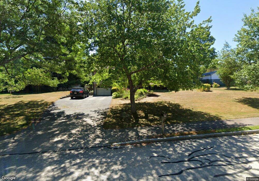
30 Mountain View Dr Westborough, MA 01581
Estimated Value: $657,679 - $762,000
3
Beds
2
Baths
1,441
Sq Ft
$481/Sq Ft
Est. Value
About This Home
This home is located at 30 Mountain View Dr, Westborough, MA 01581 and is currently estimated at $693,170, approximately $481 per square foot. 30 Mountain View Dr is a home located in Worcester County with nearby schools including Westborough High School, Ebridge Montessori School, and Westboro Knowledge Beginnings.
Ownership History
Date
Name
Owned For
Owner Type
Purchase Details
Closed on
Aug 15, 2000
Sold by
Falvey Brian J and Falvey Roberta M
Bought by
Liu Haiyan and Zhang Xiaoming Mindy
Current Estimated Value
Purchase Details
Closed on
Jul 29, 1992
Sold by
Southbridge Sb
Bought by
Falvey Brian J and Falvey Roberta
Purchase Details
Closed on
Jun 8, 1992
Sold by
Gaulin Mary R
Bought by
Southbridge Sb
Create a Home Valuation Report for This Property
The Home Valuation Report is an in-depth analysis detailing your home's value as well as a comparison with similar homes in the area
Home Values in the Area
Average Home Value in this Area
Purchase History
| Date | Buyer | Sale Price | Title Company |
|---|---|---|---|
| Liu Haiyan | $280,000 | -- | |
| Falvey Brian J | $120,000 | -- | |
| Southbridge Sb | $125,000 | -- |
Source: Public Records
Mortgage History
| Date | Status | Borrower | Loan Amount |
|---|---|---|---|
| Open | Southbridge Sb | $70,000 | |
| Open | Southbridge Sb | $264,000 |
Source: Public Records
Tax History
| Year | Tax Paid | Tax Assessment Tax Assessment Total Assessment is a certain percentage of the fair market value that is determined by local assessors to be the total taxable value of land and additions on the property. | Land | Improvement |
|---|---|---|---|---|
| 2025 | $9,399 | $577,000 | $328,000 | $249,000 |
| 2024 | $8,916 | $543,300 | $312,300 | $231,000 |
| 2023 | $8,636 | $512,800 | $294,500 | $218,300 |
| 2022 | $8,156 | $441,100 | $241,100 | $200,000 |
| 2021 | $3,660 | $417,400 | $217,400 | $200,000 |
| 2020 | $7,403 | $404,100 | $213,500 | $190,600 |
| 2019 | $6,976 | $380,600 | $211,500 | $169,100 |
| 2018 | $6,518 | $353,100 | $203,600 | $149,500 |
| 2017 | $6,285 | $353,100 | $203,600 | $149,500 |
| 2016 | $5,972 | $336,100 | $197,600 | $138,500 |
| 2015 | $5,718 | $307,600 | $185,800 | $121,800 |
Source: Public Records
Map
Nearby Homes
- 248 W Main St
- 29 Kay St
- 14 Baldwin Ct Unit 14
- 22 Capt Samuel Forbush Rd
- 11 Quick Farm Rd
- 192 W Main St
- 4 Quick Farm Rd
- 55 Nourse St
- LL43 Libbey Ln
- LL39 Libbey Ln
- LC7 Liberty Cir
- 2 Libbey Ln
- 26 Mount Pleasant St
- 4 W End Ave
- 215 North St
- 60 Belknap St
- 6 Folly Ln
- 51 Lackey St
- 6 Piccadilly Way
- 46 Lackey St
- 32 Mountain View Dr
- 28 Mountain View Dr
- 37 Mountain View Dr
- 35 Mountain View Dr
- 39 Mountain View Dr
- 26 Mountain View Dr
- 33 Mountain View Dr
- 23 Adams St
- 28 Adams St
- 10 Richardson Ct
- 25 Adams St
- 25 Adams St
- 25 Adams St
- 24 Adams St
- 12 Richardson Ct
- 20 Adams St
- 31 Mountain View Dr
- 24 Mountain View Dr
- 8 Richardson Ct
- 21 Adams St
Your Personal Tour Guide
Ask me questions while you tour the home.