Estimated Value: $128,446 - $175,000
4
Beds
1
Bath
1,280
Sq Ft
$120/Sq Ft
Est. Value
About This Home
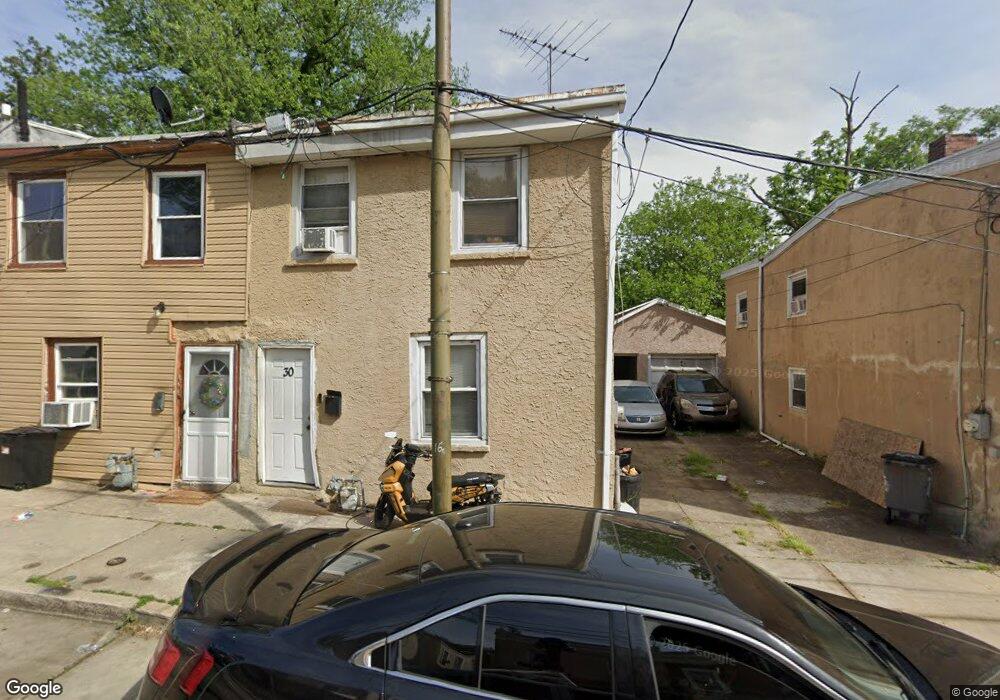
This home is located at 30 N 10th St, Darby, PA 19023 and is currently estimated at $153,862, approximately $120 per square foot. 30 N 10th St is a home located in Delaware County with nearby schools including Park Lane Elementary School, Penn Wood Middle School, and Penn Wood High School - Cypress Street Campus.
Ownership History
Date
Name
Owned For
Owner Type
Purchase Details
Closed on
Oct 22, 2019
Sold by
Walker Maria
Bought by
Muscleman Clean Outs Llc
Current Estimated Value
Purchase Details
Closed on
Mar 10, 2014
Sold by
Mitchell David and Mccarter Latia
Bought by
Walker Maria
Purchase Details
Closed on
Sep 20, 2012
Sold by
Mitchell David
Bought by
Mitchell David and Mccarter Latia
Purchase Details
Closed on
Nov 15, 2011
Sold by
Carmichaels Real Estate Llc
Bought by
Mitchell David
Purchase Details
Closed on
Mar 28, 2007
Sold by
Ny Ventures Corp
Bought by
Carmichael Real Estate
Home Financials for this Owner
Home Financials are based on the most recent Mortgage that was taken out on this home.
Original Mortgage
$73,000
Interest Rate
6.72%
Mortgage Type
Commercial
Purchase Details
Closed on
Jul 6, 2006
Sold by
Vest Gertrude
Bought by
Ny Ventures Corp
Create a Home Valuation Report for This Property
The Home Valuation Report is an in-depth analysis detailing your home's value as well as a comparison with similar homes in the area
Home Values in the Area
Average Home Value in this Area
Purchase History
| Date | Buyer | Sale Price | Title Company |
|---|---|---|---|
| Muscleman Clean Outs Llc | -- | None Available | |
| Walker Maria | -- | None Available | |
| Mitchell David | -- | None Available | |
| Mitchell David | $25,000 | None Available | |
| Carmichael Real Estate | $93,000 | Conestoga Title Insurance Co | |
| Ny Ventures Corp | $12,484 | None Available |
Source: Public Records
Mortgage History
| Date | Status | Borrower | Loan Amount |
|---|---|---|---|
| Previous Owner | Carmichael Real Estate | $73,000 |
Source: Public Records
Tax History Compared to Growth
Tax History
| Year | Tax Paid | Tax Assessment Tax Assessment Total Assessment is a certain percentage of the fair market value that is determined by local assessors to be the total taxable value of land and additions on the property. | Land | Improvement |
|---|---|---|---|---|
| 2025 | $2,495 | $50,390 | $20,060 | $30,330 |
| 2024 | $2,495 | $50,390 | $20,060 | $30,330 |
| 2023 | $2,348 | $50,390 | $20,060 | $30,330 |
| 2022 | $2,284 | $50,390 | $20,060 | $30,330 |
| 2021 | $3,187 | $50,390 | $20,060 | $30,330 |
| 2020 | $3,220 | $44,080 | $12,600 | $31,480 |
| 2019 | $3,084 | $44,080 | $12,600 | $31,480 |
| 2018 | $3,046 | $44,080 | $0 | $0 |
| 2017 | $2,990 | $44,080 | $0 | $0 |
| 2016 | $247 | $44,080 | $0 | $0 |
| 2015 | $247 | $44,080 | $0 | $0 |
| 2014 | $247 | $44,080 | $0 | $0 |
Source: Public Records
Map
Nearby Homes
- 932 Forrester Ave
- 902 Maple Terrace
- 925 Maple Terrace
- 221 N 9th St
- 1115 Chestnut St
- 1127 Kenwood Rd
- 108 Weymouth Rd
- 1143 Chestnut St
- 108 Whitely Terrace
- 834 842 Main St
- 215 N 9th St
- 957 Springfield Rd
- 1210 Berkley Rd
- 220 Weymouth Rd
- 1007 Tyler Ave
- 17 Florence Ave
- 221 Highland Ave
- 48 S 7th St
- 1008 Springfield Rd
- 240 Spring Valley Rd