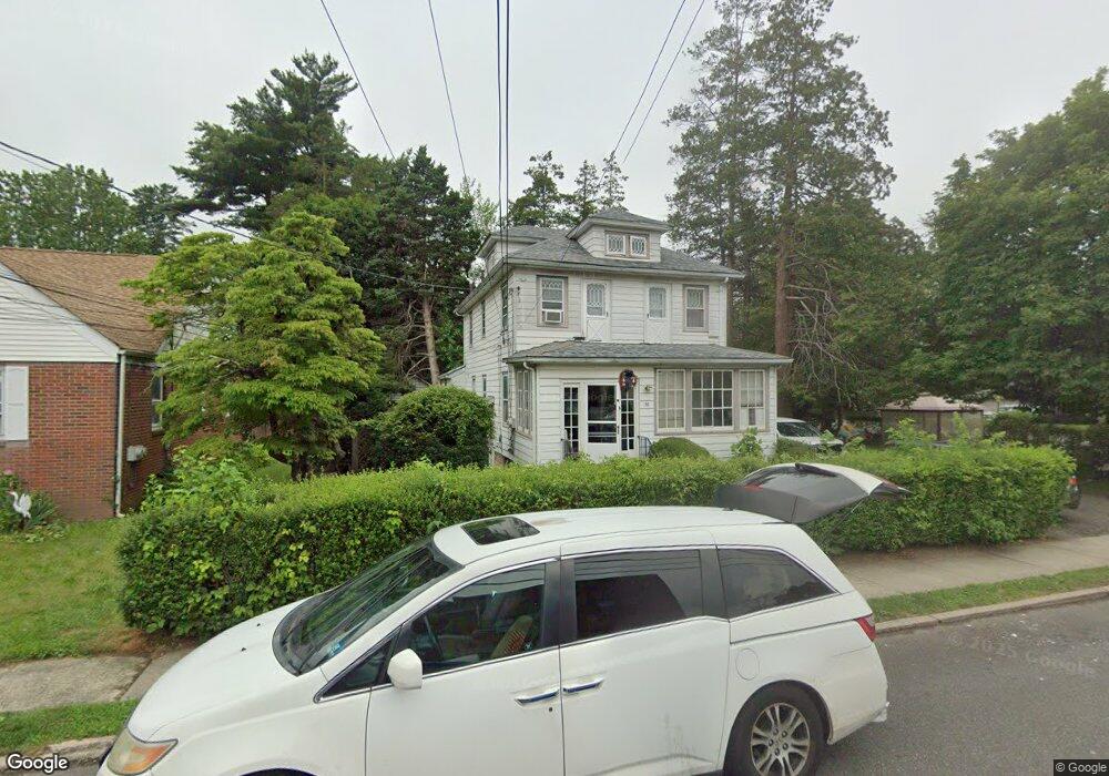
30 N Demarest Ave Unit 1FL Bergenfield, NJ 07621
Estimated Value: $1,032,717
2
Beds
2
Baths
1,893
Sq Ft
$546/Sq Ft
Est. Value
About This Home
This home is located at 30 N Demarest Ave Unit 1FL, Bergenfield, NJ 07621 and is currently estimated at $1,032,717, approximately $545 per square foot. 30 N Demarest Ave Unit 1FL is a home located in Bergen County with nearby schools including Bergenfield High School and Solomon Schechter Day School.
Ownership History
Date
Name
Owned For
Owner Type
Purchase Details
Closed on
Nov 21, 2016
Sold by
Johansen Revocable Trust
Bought by
Korean Presbyterian Church Of America In
Current Estimated Value
Purchase Details
Closed on
Aug 10, 2016
Sold by
Johansen Kenneth E and Johansen Revocable Trust
Bought by
Johansen Kenneth E and Johansen Revocable Trust
Purchase Details
Closed on
Dec 30, 2014
Sold by
Johansen Eugenia B and Johansen Kenneth E
Bought by
Johansen Kenneth E and Johansen Revocable Trust
Create a Home Valuation Report for This Property
The Home Valuation Report is an in-depth analysis detailing your home's value as well as a comparison with similar homes in the area
Home Values in the Area
Average Home Value in this Area
Purchase History
| Date | Buyer | Sale Price | Title Company |
|---|---|---|---|
| Korean Presbyterian Church Of America In | $530,000 | None Available | |
| Johansen Kenneth E | -- | None Available | |
| Johansen Kenneth E | -- | None Available | |
| Johansen Revocable Trust | -- | None Available |
Source: Public Records
Tax History Compared to Growth
Tax History
| Year | Tax Paid | Tax Assessment Tax Assessment Total Assessment is a certain percentage of the fair market value that is determined by local assessors to be the total taxable value of land and additions on the property. | Land | Improvement |
|---|---|---|---|---|
| 2025 | -- | $330,000 | $149,800 | $180,200 |
| 2024 | -- | $330,000 | $149,800 | $180,200 |
| 2023 | -- | $330,000 | $149,800 | $180,200 |
| 2022 | $0 | $330,000 | $149,800 | $180,200 |
| 2021 | $0 | $330,000 | $149,800 | $180,200 |
| 2020 | $0 | $330,000 | $149,800 | $180,200 |
| 2019 | $2,658 | $330,000 | $149,800 | $180,200 |
| 2018 | $2,658 | $330,000 | $149,800 | $180,200 |
| 2017 | $10,633 | $330,000 | $149,800 | $180,200 |
| 2016 | $10,464 | $330,000 | $149,800 | $180,200 |
| 2015 | $10,303 | $330,000 | $149,800 | $180,200 |
| 2014 | $10,115 | $330,000 | $149,800 | $180,200 |
Source: Public Records
Map
Nearby Homes
- 125 W Main St
- 86 W Main St
- 25 Ralph St
- 18 Carlisle St
- 34 N Washington Ave
- 131 N Prospect Ave
- 136 W Central Ave
- 83 N Washington Ave
- 16 Palisade Ave
- 22 W Central Ave
- 64 Madison Ave
- 41 Woods Ave
- 125 E Main St
- 190 Elder Ave
- 50 S 1st St Unit 3A
- 167 Vreeland Ave
- 56 Sergent Ct
- 53 Somers Ave
- 86 Levitt Ave
- 9 New York Ave
- 30 N Demarest Ave
- 28 N Demarest Ave
- 120 W Church St Unit 9999
- 22 N Demarest Ave
- 115 W Church St
- 63 Tyson Place
- 43 Tyson Place
- 65 Tyson Place
- 105 W Church St
- 41 Tyson Place Unit 2
- 41 Tyson Place Unit 1
- 41 Tyson Place
- 16 N Demarest Ave
- 48 N Demarest Ave
- 95 W Church St
- 95 W Church St Unit 2
- 15 N Demarest Ave
- 60 Tyson Place
- 10 N Demarest Ave
- 64 Tyson Place