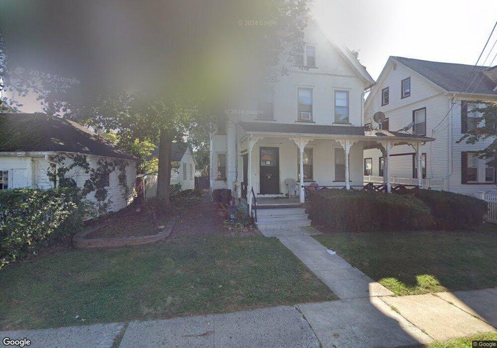
30 N Doughty Ave Unit 1 Somerville, NJ 08876
Estimated Value: $552,848 - $612,000
2
Beds
1
Bath
2,096
Sq Ft
$284/Sq Ft
Est. Value
About This Home
This home is located at 30 N Doughty Ave Unit 1, Somerville, NJ 08876 and is currently estimated at $594,712, approximately $283 per square foot. 30 N Doughty Ave Unit 1 is a home located in Somerset County with nearby schools including Van Derveer School, Somerville Middle School, and Somerville High School.
Ownership History
Date
Name
Owned For
Owner Type
Purchase Details
Closed on
Dec 16, 2022
Sold by
Bathory International Limited Liability
Bought by
Martino Charles and Aiello Vincent
Current Estimated Value
Purchase Details
Closed on
Nov 7, 2013
Sold by
Bathory Charles
Bought by
Bathory International Llc
Purchase Details
Closed on
Jun 25, 1991
Sold by
Bathory Charles and Bathory Helen S
Bought by
Bathory Charles and Bathory Helen
Create a Home Valuation Report for This Property
The Home Valuation Report is an in-depth analysis detailing your home's value as well as a comparison with similar homes in the area
Home Values in the Area
Average Home Value in this Area
Purchase History
| Date | Buyer | Sale Price | Title Company |
|---|---|---|---|
| Martino Charles | $505,000 | Chicago Title | |
| Martino Charles | $505,000 | Chicago Title | |
| Bathory International Llc | -- | None Available | |
| Bathory Charles | -- | -- |
Source: Public Records
Tax History Compared to Growth
Tax History
| Year | Tax Paid | Tax Assessment Tax Assessment Total Assessment is a certain percentage of the fair market value that is determined by local assessors to be the total taxable value of land and additions on the property. | Land | Improvement |
|---|---|---|---|---|
| 2025 | $8,997 | $227,600 | $83,300 | $144,300 |
| 2024 | $8,997 | $227,600 | $83,300 | $144,300 |
| 2023 | $8,790 | $227,600 | $83,300 | $144,300 |
| 2022 | $8,560 | $227,600 | $83,300 | $144,300 |
| 2021 | $8,273 | $227,600 | $83,300 | $144,300 |
| 2020 | $8,330 | $227,600 | $83,300 | $144,300 |
| 2019 | $8,273 | $227,600 | $83,300 | $144,300 |
| 2018 | $8,185 | $227,600 | $83,300 | $144,300 |
| 2017 | $8,016 | $227,600 | $83,300 | $144,300 |
| 2016 | $7,691 | $227,600 | $83,300 | $144,300 |
| 2015 | $7,588 | $227,600 | $83,300 | $144,300 |
| 2014 | $7,468 | $227,600 | $83,300 | $144,300 |
Source: Public Records
Map
Nearby Homes
- 30 N Doughty Ave
- 30 N Doughty Ave Unit 2
- 24 N Doughty Ave Unit 26
- 24-26 N Doughty Ave
- 26 N Doughty Ave
- 157 W High St
- 153 W High St
- 149 W High St
- 143 W High St Unit 145
- 171 W High St
- 15 N Doughty Ave
- 15 N Doughty Ave Unit A
- 173 W High St
- 11 N Doughty Ave Unit A
- 131 W High St
- 9 N Doughty Ave
- 9 N Doughty Ave Unit D
- 190 W Main St
- 212 W Main St
- 144 W High St Unit 146