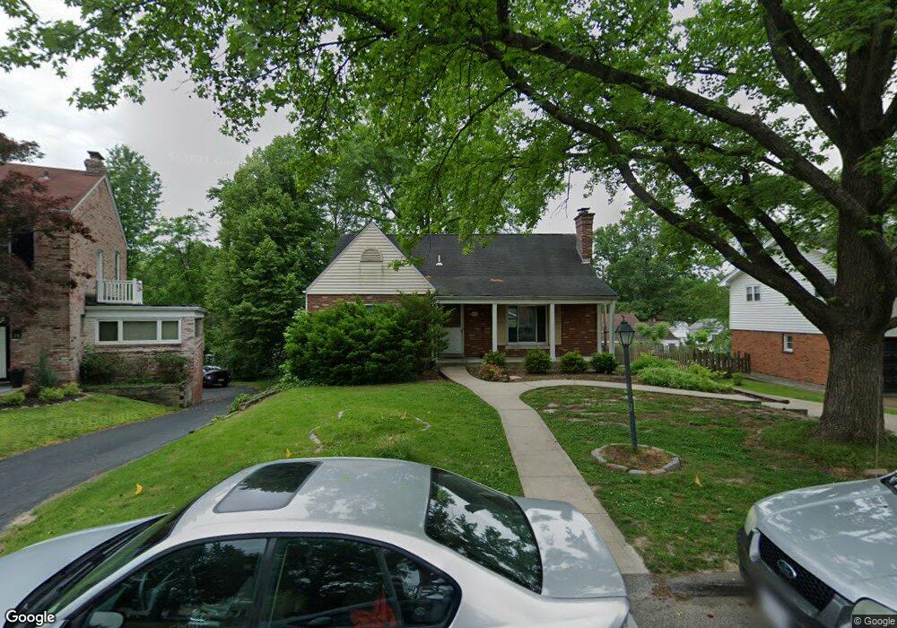
30 Nolan Dr Saint Louis, MO 63122
Estimated Value: $433,000 - $536,000
3
Beds
1
Bath
1,743
Sq Ft
$280/Sq Ft
Est. Value
About This Home
This home is located at 30 Nolan Dr, Saint Louis, MO 63122 and is currently estimated at $487,652, approximately $279 per square foot. 30 Nolan Dr is a home located in St. Louis County with nearby schools including North Glendale Elementary School, Nipher Middle School, and Kirkwood Senior High School.
Ownership History
Date
Name
Owned For
Owner Type
Purchase Details
Closed on
Mar 5, 2004
Sold by
Docter David C and Docter Winifred M
Bought by
Mack James H and Mack Margaret J
Current Estimated Value
Home Financials for this Owner
Home Financials are based on the most recent Mortgage that was taken out on this home.
Original Mortgage
$226,400
Outstanding Balance
$105,884
Interest Rate
5.68%
Mortgage Type
Purchase Money Mortgage
Estimated Equity
$381,769
Purchase Details
Closed on
May 30, 2001
Sold by
Doctor David C and Doctor Winifred
Bought by
David C & Winifred M Docter Revocable Li
Create a Home Valuation Report for This Property
The Home Valuation Report is an in-depth analysis detailing your home's value as well as a comparison with similar homes in the area
Home Values in the Area
Average Home Value in this Area
Purchase History
| Date | Buyer | Sale Price | Title Company |
|---|---|---|---|
| Mack James H | $283,000 | -- | |
| David C & Winifred M Docter Revocable Li | -- | -- |
Source: Public Records
Mortgage History
| Date | Status | Borrower | Loan Amount |
|---|---|---|---|
| Open | Mack James H | $226,400 | |
| Closed | Mack James H | $56,600 |
Source: Public Records
Tax History
| Year | Tax Paid | Tax Assessment Tax Assessment Total Assessment is a certain percentage of the fair market value that is determined by local assessors to be the total taxable value of land and additions on the property. | Land | Improvement |
|---|---|---|---|---|
| 2025 | $4,713 | $74,750 | $53,260 | $21,490 |
| 2024 | $4,713 | $72,180 | $38,020 | $34,160 |
| 2023 | $4,643 | $72,180 | $38,020 | $34,160 |
| 2022 | $4,579 | $66,330 | $36,730 | $29,600 |
| 2021 | $4,515 | $66,330 | $36,730 | $29,600 |
| 2020 | $4,336 | $60,930 | $34,220 | $26,710 |
| 2019 | $4,227 | $60,930 | $34,220 | $26,710 |
| 2018 | $3,734 | $48,170 | $27,380 | $20,790 |
| 2017 | $3,762 | $48,170 | $27,380 | $20,790 |
| 2016 | $3,425 | $44,140 | $21,300 | $22,840 |
Source: Public Records
Map
Nearby Homes
- 1012 Nolan Dr
- 18 Southridge Dr
- 1306 Glendale Gardens Dr Unit C
- 1400 Norman Place
- 789 Glenvista Place
- 1031 Glenway Dr
- 1104 Mariedale Ct Unit C
- 809 Brownell Ave
- 621 Meadowridge Ln
- 9816 Obrien Ct
- 754 Brownell Ave
- 519 Bismark Ave
- 686 Brownell Ave
- 500 Bacon Ave
- 1171 Ascot Ln
- 8 S Moreland Ave
- 582 Brookhaven Ct
- 9838 Oak Haven Ave
- 1048 Martha Ln
- 525 Beaucaire Dr
Your Personal Tour Guide
Ask me questions while you tour the home.