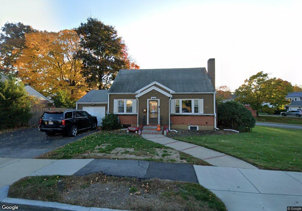
30 North St Newton, MA 02459
Nonantum NeighborhoodEstimated Value: $1,056,226 - $1,172,000
2
Beds
3
Baths
1,502
Sq Ft
$750/Sq Ft
Est. Value
About This Home
This home is located at 30 North St, Newton, MA 02459 and is currently estimated at $1,125,807, approximately $749 per square foot. 30 North St is a home located in Middlesex County with nearby schools including Horace Mann Elementary School, F.A. Day Middle School, and Newton North High School.
Ownership History
Date
Name
Owned For
Owner Type
Purchase Details
Closed on
Oct 23, 2014
Sold by
Segal Glenn A and Segal Wayne M
Bought by
Morris John T and Morris Colleen F
Current Estimated Value
Home Financials for this Owner
Home Financials are based on the most recent Mortgage that was taken out on this home.
Original Mortgage
$445,500
Outstanding Balance
$341,540
Interest Rate
4.1%
Mortgage Type
FHA
Estimated Equity
$784,267
Create a Home Valuation Report for This Property
The Home Valuation Report is an in-depth analysis detailing your home's value as well as a comparison with similar homes in the area
Home Values in the Area
Average Home Value in this Area
Purchase History
| Date | Buyer | Sale Price | Title Company |
|---|---|---|---|
| Morris John T | $495,000 | -- | |
| Segal Glenn A | -- | -- |
Source: Public Records
Mortgage History
| Date | Status | Borrower | Loan Amount |
|---|---|---|---|
| Open | Morris John T | $445,500 |
Source: Public Records
Tax History Compared to Growth
Tax History
| Year | Tax Paid | Tax Assessment Tax Assessment Total Assessment is a certain percentage of the fair market value that is determined by local assessors to be the total taxable value of land and additions on the property. | Land | Improvement |
|---|---|---|---|---|
| 2025 | $7,760 | $791,800 | $0 | $0 |
| 2024 | $7,503 | $0 | $0 | $0 |
| 2023 | $7,076 | $695,100 | $599,000 | $96,100 |
| 2022 | $6,771 | $643,600 | $554,600 | $89,000 |
| 2021 | $6,533 | $607,200 | $523,200 | $84,000 |
| 2020 | $6,339 | $607,200 | $523,200 | $84,000 |
| 2019 | $6,160 | $589,500 | $508,000 | $81,500 |
| 2018 | $5,858 | $541,400 | $459,600 | $81,800 |
| 2017 | $5,680 | $510,800 | $433,600 | $77,200 |
| 2016 | $5,433 | $477,400 | $405,200 | $72,200 |
| 2015 | $5,180 | $446,200 | $378,700 | $67,500 |
Source: Public Records
Map
Nearby Homes
- 33 Joseph Rd
- 177 Nevada St
- 321 Albemarle Rd
- 1 Farwell Cir
- 354 Linwood Ave Unit 1
- 57 Walnut St
- 76 Harding St
- 611 Watertown St Unit 14
- 76 Taft Ave Unit 1
- 76 Taft Ave
- 76 Taft Ave Unit 2
- 191 Linwood Ave
- 11 Randlett Park
- 32-34 Rossmere St
- 286 Nevada St Unit 286
- 282 Nevada St Unit 282
- 43 Walker St
- 75 Cherry St
- 3 Repton Cir Unit 3204
- 168 Walnut St
- 30 North St
- 20 North St
- 20 North St
- 409 Crafts St
- 29 North St
- 405 Crafts St
- 146 Albemarle Rd
- 165 Albemarle Rd
- 169 Albemarle Rd
- 53 Brookdale Rd
- 11 North St
- 151 Albemarle Rd
- 138 Albemarle Rd
- 427-429 Crafts St Unit 1
- 427 Crafts St Unit 429
- 429 Crafts St
- 429 Crafts St Unit 1
- 10 Maynard St
- 47 Brookdale Rd
- 56 Brookdale Rd