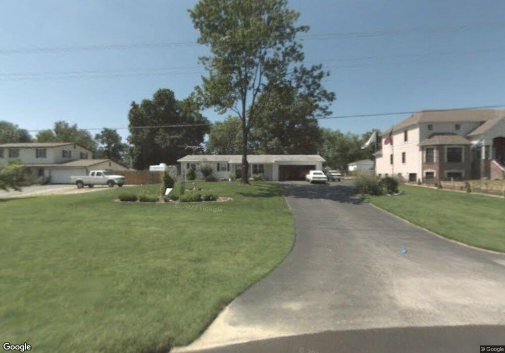
30 Old Knaust Rd Saint Peters, MO 63376
Estimated Value: $225,000 - $292,000
3
Beds
2
Baths
960
Sq Ft
$274/Sq Ft
Est. Value
About This Home
This home is located at 30 Old Knaust Rd, Saint Peters, MO 63376 and is currently estimated at $263,333, approximately $274 per square foot. 30 Old Knaust Rd is a home located in St. Charles County with nearby schools including Progress South Elementary School, Fort Zumwalt South Middle School, and Fort Zumwalt South High School.
Ownership History
Date
Name
Owned For
Owner Type
Purchase Details
Closed on
Dec 21, 2015
Sold by
Bross Construction Llc
Bought by
Hoelscher Debra and Hoelscher Steven M
Current Estimated Value
Home Financials for this Owner
Home Financials are based on the most recent Mortgage that was taken out on this home.
Original Mortgage
$181,649
Outstanding Balance
$144,131
Interest Rate
3.97%
Estimated Equity
$119,202
Purchase Details
Closed on
Jan 3, 2001
Sold by
Ann Boland Robert Joseph
Bought by
Hudgens Fred C and Hudgens Wendy L
Create a Home Valuation Report for This Property
The Home Valuation Report is an in-depth analysis detailing your home's value as well as a comparison with similar homes in the area
Home Values in the Area
Average Home Value in this Area
Purchase History
| Date | Buyer | Sale Price | Title Company |
|---|---|---|---|
| Hoelscher Debra | $213,700 | -- | |
| Hudgens Fred C | -- | -- |
Source: Public Records
Mortgage History
| Date | Status | Borrower | Loan Amount |
|---|---|---|---|
| Open | Hoelscher Debra | $181,649 | |
| Closed | Hoelscher Debra | -- |
Source: Public Records
Tax History Compared to Growth
Tax History
| Year | Tax Paid | Tax Assessment Tax Assessment Total Assessment is a certain percentage of the fair market value that is determined by local assessors to be the total taxable value of land and additions on the property. | Land | Improvement |
|---|---|---|---|---|
| 2025 | $2,499 | $40,491 | -- | -- |
| 2023 | $2,497 | $40,933 | $0 | $0 |
| 2022 | $2,109 | $32,183 | $0 | $0 |
| 2021 | $2,107 | $32,183 | $0 | $0 |
| 2020 | $3,281 | $29,337 | $0 | $0 |
| 2019 | $3,274 | $29,337 | $0 | $0 |
| 2018 | $3,202 | $27,041 | $0 | $0 |
| 2017 | $3,192 | $27,041 | $0 | $0 |
| 2016 | $3,080 | $25,401 | $0 | $0 |
| 2015 | $2,948 | $25,401 | $0 | $0 |
| 2014 | $2,923 | $24,407 | $0 | $0 |
Source: Public Records
Map
Nearby Homes
- 2 Laura Hill Rd
- 42 Kingspointe Dr
- 114 Knaust Rd
- 8201 Bristol Valley Dr
- 2 Oak Point Ct
- 2068 Williamstown Dr
- 28 Steiert Dr
- Adams Plan at Strawberry Farms - Liberty Series
- Franklin Plan at Strawberry Farms - Liberty Series
- Madison Plan at Strawberry Farms - Liberty Series
- Hamilton II Plan at Strawberry Farms - Liberty Series
- Washington Plan at Strawberry Farms - Liberty Series
- 67 Oakridge West Dr
- 5 Wood Oaks Dr
- 146 Huntington Crossing Dr
- 113 Stage Coach Landing Dr
- 9 Schrader Farm Ct
- 175 Blue Water Dr
- 307 Santa Fe Trail Dr
- 164 Blue Water Dr
- 28 Old Knaust Rd
- 32 Old Knaust Rd
- 26 Old Knaust Rd
- 34 Old Knaust Rd
- 183 Abington Dr
- 181 Abington Dr
- 22 Old Knaust Rd
- 185 Abington Dr
- 179 Abington Dr
- 11 Windy Hill Dr
- 175 Abington Dr
- 4 Laura Hill Rd
- 171 Abington Dr
- 187 Abington Dr
- 12 Windy Hill Dr
- 6 Laura Hill Rd
- 20 Old Knaust Rd
- 167 Abington Dr
- 189 Abington Dr
- 8 Laura Hill Rd