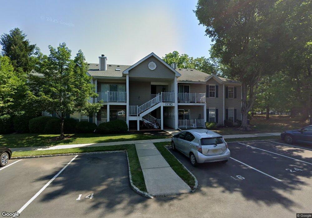
30 Opal Ct Unit C2 Franklin Park, NJ 08823
Estimated Value: $224,747 - $338,000
--
Bed
--
Bath
933
Sq Ft
$302/Sq Ft
Est. Value
About This Home
This home is located at 30 Opal Ct Unit C2, Franklin Park, NJ 08823 and is currently estimated at $281,687, approximately $301 per square foot. 30 Opal Ct Unit C2 is a home located in Somerset County with nearby schools including Franklin High School, St. Augustine of Canterbury School, and Guidepost Montessori at Kendall Park.
Ownership History
Date
Name
Owned For
Owner Type
Purchase Details
Closed on
Jun 6, 2016
Sold by
Shah Minal K
Bought by
Patel Dhamin K and Patel Kanubhia N
Current Estimated Value
Purchase Details
Closed on
Apr 21, 2011
Sold by
Paxton John E and Paxton Nora
Bought by
Patel Anup A and Patel Rupal B
Purchase Details
Closed on
Jun 29, 2005
Sold by
Carter Stanley
Bought by
Paxton John E and Paxton Nora
Home Financials for this Owner
Home Financials are based on the most recent Mortgage that was taken out on this home.
Original Mortgage
$166,800
Interest Rate
5.59%
Purchase Details
Closed on
Feb 28, 1990
Sold by
Hovnanian At Somerset K
Bought by
Spryszynski Zbigniew
Create a Home Valuation Report for This Property
The Home Valuation Report is an in-depth analysis detailing your home's value as well as a comparison with similar homes in the area
Home Values in the Area
Average Home Value in this Area
Purchase History
| Date | Buyer | Sale Price | Title Company |
|---|---|---|---|
| Patel Dhamin K | $165,000 | Multiple | |
| Patel Anup A | $180,000 | Multiple | |
| Paxton John E | $166,839 | -- | |
| Spryszynski Zbigniew | $82,700 | -- |
Source: Public Records
Mortgage History
| Date | Status | Borrower | Loan Amount |
|---|---|---|---|
| Open | Patel Dhamin K | $156,750 | |
| Previous Owner | Paxton John E | $166,800 | |
| Closed | Patel Anup A | $0 |
Source: Public Records
Tax History Compared to Growth
Tax History
| Year | Tax Paid | Tax Assessment Tax Assessment Total Assessment is a certain percentage of the fair market value that is determined by local assessors to be the total taxable value of land and additions on the property. | Land | Improvement |
|---|---|---|---|---|
| 2025 | $2,705 | $150,000 | $20,000 | $130,000 |
| 2024 | $2,705 | $150,000 | $20,000 | $130,000 |
| 2023 | $2,883 | $150,000 | $20,000 | $130,000 |
| 2022 | $3,042 | $150,000 | $20,000 | $130,000 |
| 2021 | $3,311 | $150,000 | $20,000 | $130,000 |
| 2020 | $3,389 | $150,000 | $20,000 | $130,000 |
| 2019 | $3,431 | $150,000 | $20,000 | $130,000 |
| 2018 | $3,465 | $150,000 | $20,000 | $130,000 |
| 2017 | $3,479 | $150,000 | $20,000 | $130,000 |
| 2016 | $3,509 | $150,000 | $20,000 | $130,000 |
| 2015 | $4,181 | $180,000 | $20,000 | $160,000 |
| 2014 | $4,118 | $180,000 | $20,000 | $160,000 |
Source: Public Records
Map
Nearby Homes
- 124 Edward Dr
- 47 Cabot Way
- 253 Columbus Dr
- 139 Gregory Ln
- 167 Rachel Ct
- 89 Lindsey Ct Unit 4021
- 147 Rachel Ct
- 139 Rachel Ct Unit D1
- 205 Rachel Ct
- 107 Rachel Ct
- 22 Balboa Ln Unit 3806
- 32 Columbus Dr Unit 215
- 32 Columbus Dr
- 3241 Route 27
- 22 Arthur Glick Blvd Unit 2506
- 8 Amethyst Way
- 21 Gregory Ln Unit F1
- 19 Desoto Dr
- 130 Lindsey Ct
- 65 Townsend Ct Unit 213