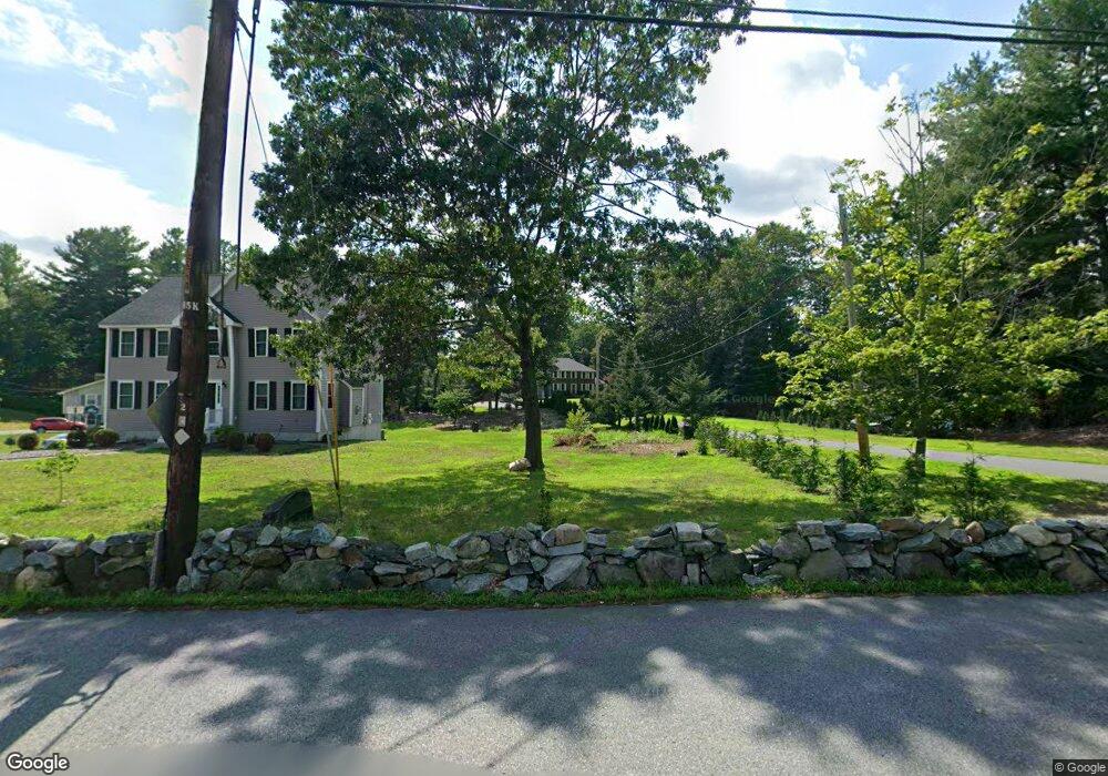
30 Parker Rd Dracut, MA 01826
Estimated Value: $805,000 - $911,000
4
Beds
3
Baths
2,656
Sq Ft
$324/Sq Ft
Est. Value
About This Home
This home is located at 30 Parker Rd, Dracut, MA 01826 and is currently estimated at $861,643, approximately $324 per square foot. 30 Parker Rd is a home located in Middlesex County with nearby schools including Joseph A. Campbell Elementary School, Richardson Middle School, and Dracut Senior High School.
Ownership History
Date
Name
Owned For
Owner Type
Purchase Details
Closed on
Mar 19, 2015
Sold by
Enfanto Patricia A
Bought by
30 Parker Road Rt
Current Estimated Value
Purchase Details
Closed on
May 28, 2014
Sold by
Conway David E and Conway Catherine L
Bought by
Enfanto Patricia A
Purchase Details
Closed on
May 18, 1987
Sold by
Payette Roger G
Bought by
Conway David E
Create a Home Valuation Report for This Property
The Home Valuation Report is an in-depth analysis detailing your home's value as well as a comparison with similar homes in the area
Home Values in the Area
Average Home Value in this Area
Purchase History
| Date | Buyer | Sale Price | Title Company |
|---|---|---|---|
| 30 Parker Road Rt | -- | -- | |
| Enfanto Patricia A | $430,000 | -- | |
| Conway David E | $253,845 | -- |
Source: Public Records
Mortgage History
| Date | Status | Borrower | Loan Amount |
|---|---|---|---|
| Previous Owner | Conway David E | $320,000 | |
| Previous Owner | Conway David E | $50,000 | |
| Previous Owner | Conway David E | $25,000 |
Source: Public Records
Tax History Compared to Growth
Tax History
| Year | Tax Paid | Tax Assessment Tax Assessment Total Assessment is a certain percentage of the fair market value that is determined by local assessors to be the total taxable value of land and additions on the property. | Land | Improvement |
|---|---|---|---|---|
| 2025 | $7,830 | $773,700 | $232,700 | $541,000 |
| 2024 | $7,581 | $725,500 | $221,800 | $503,700 |
| 2023 | $7,358 | $635,400 | $192,900 | $442,500 |
| 2022 | $7,277 | $592,100 | $175,500 | $416,600 |
| 2021 | $6,642 | $510,500 | $159,400 | $351,100 |
| 2020 | $6,690 | $501,100 | $154,600 | $346,500 |
| 2019 | $6,667 | $484,900 | $147,200 | $337,700 |
| 2018 | $6,653 | $470,500 | $147,200 | $323,300 |
| 2017 | $6,571 | $470,500 | $147,200 | $323,300 |
| 2016 | $6,383 | $430,100 | $141,500 | $288,600 |
| 2015 | $6,265 | $419,600 | $141,500 | $278,100 |
| 2014 | $5,819 | $401,600 | $141,500 | $260,100 |
Source: Public Records
Map
Nearby Homes
- 31 Varnum Ave
- 51 Bellevue Ave
- 931 Methuen St Unit 6
- 821 Merrimack Ave
- 14 Mount Pleasant Ave
- 820 Methuen St Unit 820
- 2 Francis Dr Unit 412
- 4 Francis Dr Unit 105
- 2 Francis Dr Unit 213
- 4 Francis Dr Unit 207
- 173 Merrimack Meadows Ln Unit 162
- 12 Hayfield Rd
- 78 Merrimack Meadows Ln Unit 78
- 2 Nollet Dr
- 11 Merrimack Meadows Ln Unit 17
- 322 River Rd
- 46 Hopkins Cir
- 72 Sherwood Dr Unit 72
- 42 Hopkins Cir
- 785 Broadway Rd
- 1116 Methuen St
- 22 Indian Hill Rd
- 1124 Methuen St
- 32 Indian Hill Rd
- 50 Parker Rd
- 1110 Methuen St
- 1132 Methuen St
- 9 Indian Hill Rd
- 12 Indian Hill Rd
- 33 Indian Hill Rd
- 25 Indian Hill Rd
- lot 2 Parker Rd
- 17 Indian Hill Rd
- 1199 Methuen St
- 1216 Methuen St
- 1108 Methuen St
- 40 Indian Hill Rd
- 1175 Methuen St
- 1167 Methuen St
- 11 Presidential Cir