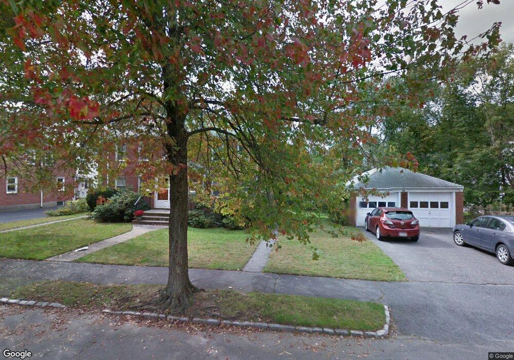
30 Payne Rd Unit 32 Newton Highlands, MA 02461
Newton Highlands NeighborhoodEstimated Value: $1,107,000 - $1,454,964
2
Beds
1
Bath
1,200
Sq Ft
$1,086/Sq Ft
Est. Value
About This Home
This home is located at 30 Payne Rd Unit 32, Newton Highlands, MA 02461 and is currently estimated at $1,303,241, approximately $1,086 per square foot. 30 Payne Rd Unit 32 is a home located in Middlesex County with nearby schools including Bowen School, Mason Rice Elementary School, and Charles E Brown Middle School.
Ownership History
Date
Name
Owned For
Owner Type
Purchase Details
Closed on
May 6, 2005
Sold by
Woo Shoo Hing and Woo Yin Go
Bought by
Woo Ft and Woo Shoo Hing
Current Estimated Value
Purchase Details
Closed on
Oct 1, 1997
Sold by
Chin Art Yen
Bought by
Woo Yin Go and Woo Shoo Hing
Home Financials for this Owner
Home Financials are based on the most recent Mortgage that was taken out on this home.
Original Mortgage
$225,000
Interest Rate
7.41%
Mortgage Type
Purchase Money Mortgage
Create a Home Valuation Report for This Property
The Home Valuation Report is an in-depth analysis detailing your home's value as well as a comparison with similar homes in the area
Home Values in the Area
Average Home Value in this Area
Purchase History
| Date | Buyer | Sale Price | Title Company |
|---|---|---|---|
| Woo Ft | -- | -- | |
| Woo Yin Go | $321,500 | -- |
Source: Public Records
Mortgage History
| Date | Status | Borrower | Loan Amount |
|---|---|---|---|
| Previous Owner | Woo Yin Go | $220,000 | |
| Previous Owner | Woo Yin Go | $225,000 |
Source: Public Records
Tax History Compared to Growth
Tax History
| Year | Tax Paid | Tax Assessment Tax Assessment Total Assessment is a certain percentage of the fair market value that is determined by local assessors to be the total taxable value of land and additions on the property. | Land | Improvement |
|---|---|---|---|---|
| 2025 | $11,099 | $1,132,500 | $945,700 | $186,800 |
| 2024 | $10,731 | $1,099,500 | $918,200 | $181,300 |
| 2023 | $10,340 | $1,015,700 | $749,300 | $266,400 |
| 2022 | $9,894 | $940,500 | $693,800 | $246,700 |
| 2021 | $9,284 | $862,800 | $636,500 | $226,300 |
| 2020 | $9,008 | $862,800 | $636,500 | $226,300 |
| 2019 | $8,427 | $806,400 | $594,900 | $211,500 |
| 2018 | $8,329 | $769,800 | $557,900 | $211,900 |
| 2017 | $7,853 | $706,200 | $511,800 | $194,400 |
| 2016 | $7,373 | $647,900 | $469,500 | $178,400 |
| 2015 | $7,030 | $605,500 | $438,800 | $166,700 |
Source: Public Records
Map
Nearby Homes
- 671 Boylston St
- 1292 Walnut St
- 42 Sunhill Ln
- 1597 Centre St Unit 1597
- 1597 Centre St
- 628 Boylston St
- 1623-1625 Centre St
- 1629 Centre St
- 19 Selwyn Rd
- 5 Halcyon Rd
- 1151 Walnut St Unit 205
- 1151 Walnut St Unit 204
- 1151 Walnut St Unit 405
- 1151 Walnut St Unit 207
- 250 Woodcliff Rd
- 35 Haynes Rd
- 36 Cannon St
- 42 Bow Rd
- 2 Raeburn Terrace
- 3 Glenmore Terrace Unit 2
- 30 Payne Rd Unit 1
- 32 Payne Rd
- 24 Payne Rd Unit 26
- 70 Cloverdale Rd Unit 72
- 66 Cloverdale Rd
- 72 Cloverdale Rd
- 31 Payne Rd
- 31 Payne Rd Unit 2
- 31 Payne Rd Unit 31 31-33
- 76 Cloverdale Rd
- 76 Cloverdale Rd Unit 76
- 33 Payne Rd
- 33 Payne Rd Unit 33 31-33
- 18 Payne Rd Unit 20
- 18 Payne Rd Unit 18
- 20 Payne Rd Unit 20
- 18 Payne Rd Unit 2
- 18 Payne Rd Unit 1
- 27 Payne Rd Unit 1
- 27 Payne Rd