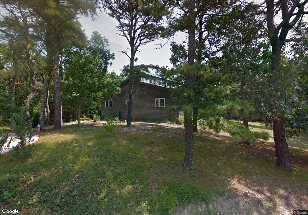
30 Pheasant Run Wellfleet, MA 02667
Estimated Value: $791,000 - $1,044,000
3
Beds
2
Baths
1,612
Sq Ft
$556/Sq Ft
Est. Value
About This Home
This home is located at 30 Pheasant Run, Wellfleet, MA 02667 and is currently estimated at $895,520, approximately $555 per square foot. 30 Pheasant Run is a home located in Barnstable County with nearby schools including Wellfleet Elementary School, Nauset Regional Middle School, and Nauset Regional High School.
Ownership History
Date
Name
Owned For
Owner Type
Purchase Details
Closed on
Dec 31, 2024
Sold by
Vanderschmidt George
Bought by
G F Vanderschmidt Iv Ret and Vanderschmidt
Current Estimated Value
Purchase Details
Closed on
Mar 9, 2010
Sold by
Vanderschmidt George F and Vanderschmidt Tracy
Bought by
Vanderschmidt George F
Purchase Details
Closed on
Apr 30, 1993
Sold by
Hebenstreit William L and Mastrandrea Dorothy H
Bought by
Vanderschmidt George F and Frost Robin
Home Financials for this Owner
Home Financials are based on the most recent Mortgage that was taken out on this home.
Original Mortgage
$30,000
Interest Rate
7.51%
Mortgage Type
Purchase Money Mortgage
Create a Home Valuation Report for This Property
The Home Valuation Report is an in-depth analysis detailing your home's value as well as a comparison with similar homes in the area
Home Values in the Area
Average Home Value in this Area
Purchase History
| Date | Buyer | Sale Price | Title Company |
|---|---|---|---|
| G F Vanderschmidt Iv Ret | -- | None Available | |
| Vanderschmidt George F | -- | -- | |
| Vanderschmidt George F | -- | -- | |
| Vanderschmidt George F | $40,000 | -- |
Source: Public Records
Mortgage History
| Date | Status | Borrower | Loan Amount |
|---|---|---|---|
| Previous Owner | Vanderschmidt George F | $30,000 |
Source: Public Records
Tax History
| Year | Tax Paid | Tax Assessment Tax Assessment Total Assessment is a certain percentage of the fair market value that is determined by local assessors to be the total taxable value of land and additions on the property. | Land | Improvement |
|---|---|---|---|---|
| 2025 | $6,442 | $906,100 | $319,300 | $586,800 |
| 2024 | $6,016 | $880,800 | $304,100 | $576,700 |
| 2023 | $5,357 | $769,700 | $257,700 | $512,000 |
| 2022 | $4,673 | $600,700 | $226,000 | $374,700 |
| 2021 | $3,972 | $505,400 | $201,800 | $303,600 |
| 2020 | $3,944 | $508,900 | $212,400 | $296,500 |
| 2019 | $0 | $495,900 | $212,400 | $283,500 |
| 2018 | $3,544 | $493,600 | $212,400 | $281,200 |
| 2017 | $3,269 | $482,200 | $212,400 | $269,800 |
| 2016 | $3,049 | $446,400 | $178,800 | $267,600 |
| 2015 | $2,909 | $429,100 | $166,600 | $262,500 |
Source: Public Records
Map
Nearby Homes
- 320 Coles Neck Rd
- 20 Bank St
- 49 Oak Valley Rd
- 37 Oak Valley Rd
- 40 Old Long Pond Rd
- 35 Holbrook Ave
- 7 Arrowhead Farm Rd
- 240 Gross Hill Rd
- 164 Kendrick Ave Unit C
- 110 Prince Valley Rd
- 30 Harbor View Cir
- 135 Marven Way
- 105 Howard Ct
- 43 Old County Rd
- 9 Priest Rd
- 345 Cove Rd
- 45 Indian Neck Rd
- 30 Sam Hollow Rd
- 19 Old Bridge Rd
- 2032 State Hwy Rte 6 Unit F/ (6)
- 40 Pheasant Run
- 10 Pheasant Run
- 15 Pheasant Run
- 60 Pheasant Run
- 45 Pheasant Run
- 360 Coles Neck Rd
- 330 Coles Neck Rd
- 49 Pheasant Run
- 80 Pheasant Run
- 340 Coles Neck Rd
- 370 Coles Neck Rd
- 55 Pheasant Run
- 339 Coles Neck Rd
- 65 Pheasant Run
- 95 Pheasant Run
- 85 Whitetail Ln
- 69 Whitetail Ln
- 55 Whitetail Ln
- 319 Coles Neck Rd
- 35 Whitetail Ln
Your Personal Tour Guide
Ask me questions while you tour the home.