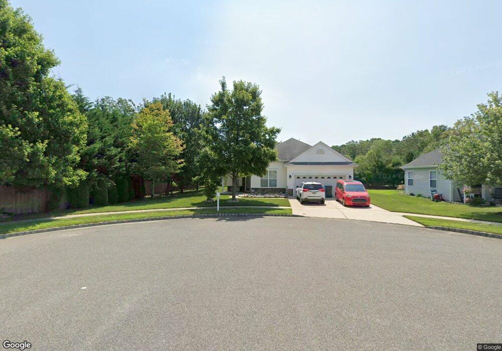
30 Pier Point Tuckerton, NJ 08087
Little Egg Harbor Township NeighborhoodEstimated Value: $375,522 - $403,000
2
Beds
2
Baths
1,807
Sq Ft
$215/Sq Ft
Est. Value
About This Home
This home is located at 30 Pier Point, Tuckerton, NJ 08087 and is currently estimated at $388,881, approximately $215 per square foot. 30 Pier Point is a home located in Ocean County with nearby schools including Frog Pond Elementary School, Pinelands Regional Junior High School, and Pinelands Regional High School.
Ownership History
Date
Name
Owned For
Owner Type
Purchase Details
Closed on
Jun 17, 2005
Current Estimated Value
Home Financials for this Owner
Home Financials are based on the most recent Mortgage that was taken out on this home.
Original Mortgage
$232,400
Outstanding Balance
$121,092
Interest Rate
5.73%
Mortgage Type
Credit Line Revolving
Estimated Equity
$267,789
Create a Home Valuation Report for This Property
The Home Valuation Report is an in-depth analysis detailing your home's value as well as a comparison with similar homes in the area
Home Values in the Area
Average Home Value in this Area
Purchase History
| Date | Buyer | Sale Price | Title Company |
|---|---|---|---|
| -- | $250,600 | -- |
Source: Public Records
Mortgage History
| Date | Status | Borrower | Loan Amount |
|---|---|---|---|
| Open | -- | $232,400 |
Source: Public Records
Tax History Compared to Growth
Tax History
| Year | Tax Paid | Tax Assessment Tax Assessment Total Assessment is a certain percentage of the fair market value that is determined by local assessors to be the total taxable value of land and additions on the property. | Land | Improvement |
|---|---|---|---|---|
| 2025 | $6,190 | $208,900 | $65,100 | $143,800 |
| 2024 | $5,931 | $208,900 | $65,100 | $143,800 |
| 2023 | $5,745 | $208,900 | $65,100 | $143,800 |
| 2022 | $5,745 | $208,900 | $65,100 | $143,800 |
| 2021 | $5,609 | $208,900 | $65,100 | $143,800 |
| 2020 | $5,536 | $208,900 | $65,100 | $143,800 |
| 2019 | $5,312 | $208,900 | $65,100 | $143,800 |
| 2018 | $5,009 | $208,900 | $65,100 | $143,800 |
| 2017 | $4,932 | $208,900 | $65,100 | $143,800 |
| 2016 | $4,972 | $208,900 | $65,100 | $143,800 |
| 2015 | $5,032 | $208,900 | $65,100 | $143,800 |
| 2014 | $5,206 | $272,400 | $89,900 | $182,500 |
Source: Public Records
Map
Nearby Homes
- 87 Vincent Ct
- 111 W Holly Ln
- 131 Holly Ct
- 132 Holly Ct
- 58 Vincent Ct
- 19 Waters Edge Dr
- 8 Ridgeway Ln
- 60 Windstar Dr
- 24 Pelican Ln
- 153 Oakleaf Dr
- 223 Western Ave
- 213 Western Ave
- 168 Westchester Dr
- 21 Abbie Dr
- 105 Floyd Ln
- 30 Whitemarsh Ct Unit 1710
- 30 Whitemarsh Ct Unit 171
- 18 Spruce Dr
- 9 Grove Ct
- 220B Center St
- 28 Pier Point
- 26 Pier Point
- 25 Pier Point
- 29 Pier Point
- 24 Pier Point
- 27 Pier Point
- 22 Pier Point
- 4 Coral Dr
- 6 Coral Dr
- 20 Pier Point
- 8 Coral Dr
- 18 Pier Point
- 380 Radio Rd
- 380 Radio Rd Unit C4
- 380 Radio Rd Unit C1
- 380 Radio Rd Unit B4
- 380 Radio Rd Unit B 6
- 380 Radio Rd Unit C-2
- 380 Radio Rd Unit B1
- 380 Radio Rd Unit A6