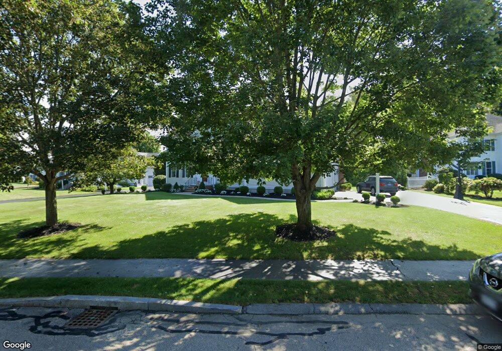
30 Pokanoket Path Wrentham, MA 02093
Estimated Value: $1,094,000 - $1,181,000
4
Beds
3
Baths
3,268
Sq Ft
$345/Sq Ft
Est. Value
About This Home
This home is located at 30 Pokanoket Path, Wrentham, MA 02093 and is currently estimated at $1,127,201, approximately $344 per square foot. 30 Pokanoket Path is a home located in Norfolk County with nearby schools including Delaney Elementary School and Charles E Roderick.
Ownership History
Date
Name
Owned For
Owner Type
Purchase Details
Closed on
Apr 27, 2015
Sold by
Gosner George W and Gosner Eileen M
Bought by
Gonser Ft
Current Estimated Value
Purchase Details
Closed on
Nov 27, 2001
Sold by
Diplacido Dev
Bought by
Gonser George W and Gonser Eileen M
Home Financials for this Owner
Home Financials are based on the most recent Mortgage that was taken out on this home.
Original Mortgage
$208,000
Interest Rate
6.64%
Mortgage Type
Purchase Money Mortgage
Create a Home Valuation Report for This Property
The Home Valuation Report is an in-depth analysis detailing your home's value as well as a comparison with similar homes in the area
Home Values in the Area
Average Home Value in this Area
Purchase History
| Date | Buyer | Sale Price | Title Company |
|---|---|---|---|
| Gonser Ft | -- | -- | |
| Gonser George W | $501,530 | -- |
Source: Public Records
Mortgage History
| Date | Status | Borrower | Loan Amount |
|---|---|---|---|
| Previous Owner | Gonser George W | $208,000 |
Source: Public Records
Tax History Compared to Growth
Tax History
| Year | Tax Paid | Tax Assessment Tax Assessment Total Assessment is a certain percentage of the fair market value that is determined by local assessors to be the total taxable value of land and additions on the property. | Land | Improvement |
|---|---|---|---|---|
| 2025 | $10,993 | $948,500 | $302,000 | $646,500 |
| 2024 | $10,565 | $880,400 | $302,000 | $578,400 |
| 2023 | $10,439 | $827,200 | $274,500 | $552,700 |
| 2022 | $9,566 | $699,800 | $211,300 | $488,500 |
| 2021 | $9,434 | $670,500 | $221,400 | $449,100 |
| 2020 | $9,908 | $695,300 | $199,700 | $495,600 |
| 2019 | $9,716 | $688,100 | $215,100 | $473,000 |
| 2018 | $8,903 | $625,200 | $215,300 | $409,900 |
| 2017 | $8,700 | $610,500 | $211,200 | $399,300 |
| 2016 | $8,521 | $596,700 | $205,100 | $391,600 |
| 2015 | $8,649 | $577,400 | $197,100 | $380,300 |
| 2014 | $8,508 | $555,700 | $189,600 | $366,100 |
Source: Public Records
Map
Nearby Homes
- Lot 1 - Blueberry 2 Car Plan at King Philip Estates
- Lot 8 - Blueberry 2 Car Plan at King Philip Estates
- Lot 5 - Hughes 2 car Plan at King Philip Estates
- Lot 6 - Blueberry 3 Car Plan at King Philip Estates
- Lot 2 - Camden 2 Car Plan at King Philip Estates
- Lot 7 - Cedar Plan at King Philip Estates
- Lot 4 - Hemingway 2 Car Plan at King Philip Estates
- Lot 3 - Blueberry 2 Car Plan at King Philip Estates
- Lot 3 - 14 Earle Stewart Ln
- 11 Earle Stewart Ln
- 131 Creek St Unit 7
- 791 South St Unit 5
- 570 Franklin St
- 319 Taunton St
- 440 Chestnut St
- 10 Nature View Dr
- 15 Nature View Dr
- 50 Green St
- 80 Carriage House Ln
- 1204 South St
- 40 Pokanoket Path
- 25 Pokanoket Path
- 35 Pokanoket Path
- 50 Pokanoket Path
- 124 Riverside Dr
- 25 Weetamoo Way
- 15 Pokanoket Path
- 5 Pokanoket Path
- 15 Weetamoo Way
- 60 Pokanoket Path
- 35 Weetamoo Way
- 120 Riverside Dr
- 55 Pokanoket Path
- 75 Pokanoket Path
- 65 Pokanoket Path
- 45 Weetamoo Way
- 165 Riverside Dr
- 70 Pokanoket Path
- 130 Riverside Dr
- 155 Riverside Dr