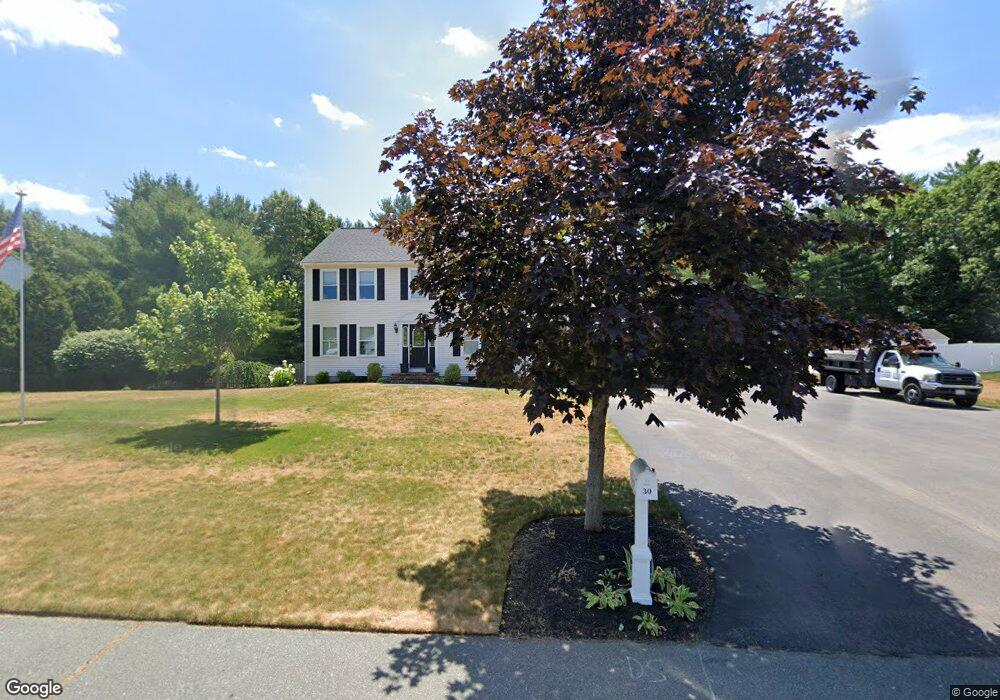
30 Poor Meadow Ln East Bridgewater, MA 02333
Estimated Value: $703,000 - $824,000
3
Beds
3
Baths
2,016
Sq Ft
$371/Sq Ft
Est. Value
About This Home
This home is located at 30 Poor Meadow Ln, East Bridgewater, MA 02333 and is currently estimated at $748,785, approximately $371 per square foot. 30 Poor Meadow Ln is a home located in Plymouth County with nearby schools including Central Elementary School, Gordon W Mitchell Middle School, and East Bridgewater Jr./Sr. High School.
Ownership History
Date
Name
Owned For
Owner Type
Purchase Details
Closed on
Apr 30, 2021
Sold by
Kbd Rt
Bought by
Stewart Matthew and Stewart Jennifer
Current Estimated Value
Home Financials for this Owner
Home Financials are based on the most recent Mortgage that was taken out on this home.
Original Mortgage
$276,000
Outstanding Balance
$249,734
Interest Rate
3%
Mortgage Type
Purchase Money Mortgage
Estimated Equity
$499,051
Create a Home Valuation Report for This Property
The Home Valuation Report is an in-depth analysis detailing your home's value as well as a comparison with similar homes in the area
Home Values in the Area
Average Home Value in this Area
Purchase History
| Date | Buyer | Sale Price | Title Company |
|---|---|---|---|
| Stewart Matthew | $546,000 | None Available |
Source: Public Records
Mortgage History
| Date | Status | Borrower | Loan Amount |
|---|---|---|---|
| Open | Stewart Matthew | $276,000 |
Source: Public Records
Tax History Compared to Growth
Tax History
| Year | Tax Paid | Tax Assessment Tax Assessment Total Assessment is a certain percentage of the fair market value that is determined by local assessors to be the total taxable value of land and additions on the property. | Land | Improvement |
|---|---|---|---|---|
| 2025 | $8,715 | $637,500 | $234,800 | $402,700 |
| 2024 | $8,488 | $613,300 | $225,800 | $387,500 |
| 2023 | $8,166 | $565,100 | $225,800 | $339,300 |
| 2022 | $7,750 | $496,800 | $196,900 | $299,900 |
| 2021 | $7,384 | $433,100 | $189,200 | $243,900 |
| 2020 | $7,255 | $419,600 | $182,000 | $237,600 |
| 2019 | $7,031 | $400,400 | $173,900 | $226,500 |
| 2018 | $7,042 | $392,100 | $173,900 | $218,200 |
| 2017 | $6,888 | $376,400 | $165,800 | $210,600 |
| 2016 | $6,685 | $368,100 | $165,800 | $202,300 |
| 2015 | $6,363 | $358,300 | $157,500 | $200,800 |
| 2014 | $6,175 | $355,500 | $154,200 | $201,300 |
Source: Public Records
Map
Nearby Homes
- 22 Hudson St
- 170 Elm St
- 211 Elm St
- 1993 Washington St
- 2045 Washington St
- 71 Stonegate Dr
- 29 Hayes Rd
- 51 Stonegate Dr
- 94 Pond St
- 100 Eliab Latham Way
- 53 Elm St
- 1247 Central St
- 26 Meadowbrook Dr
- 587 Bridge St
- 2 Edgewood Cir
- 28 Brookbend Way E
- 73 Trailwood Dr
- 182 Crystal Water Dr Unit 182
- 217 Crystal Water Dr
- 24 High Pond Dr
- 20 Poor Meadow Ln
- 40 Poor Meadow Ln
- 25 Poor Meadow Ln
- 35 Poor Meadow Ln
- 17 Poor Meadow Ln-Lot 17
- 15 Poor Meadow Ln
- 50 Poor Meadow Ln
- 232 Hudson St
- 45 Poor Meadow Ln
- 12 Hudson Place
- 244 Hudson St
- 10 Hudson Place
- 14 Hudson Place
- 256 Hudson St
- 60 Poor Meadow Ln
- 55 Poor Meadow Ln
- 8 Hudson Place
- 50 Pine Ridge Rd
- 268 Hudson St
- 16 Hudson Place