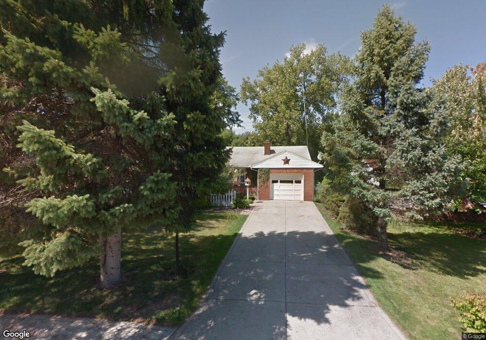
30 Randall Rd Mansfield, OH 44907
Estimated Value: $136,000 - $170,631
2
Beds
2
Baths
1,144
Sq Ft
$138/Sq Ft
Est. Value
About This Home
This home is located at 30 Randall Rd, Mansfield, OH 44907 and is currently estimated at $157,408, approximately $137 per square foot. 30 Randall Rd is a home located in Richland County with nearby schools including St. Peter's Elementary/Montessori School, St. Peter's High School/Junior High, and Mansfield Christian School.
Create a Home Valuation Report for This Property
The Home Valuation Report is an in-depth analysis detailing your home's value as well as a comparison with similar homes in the area
Home Values in the Area
Average Home Value in this Area
Tax History Compared to Growth
Tax History
| Year | Tax Paid | Tax Assessment Tax Assessment Total Assessment is a certain percentage of the fair market value that is determined by local assessors to be the total taxable value of land and additions on the property. | Land | Improvement |
|---|---|---|---|---|
| 2024 | $1,505 | $41,940 | $11,670 | $30,270 |
| 2023 | $1,505 | $41,940 | $11,670 | $30,270 |
| 2022 | $1,233 | $30,810 | $10,020 | $20,790 |
| 2021 | $1,241 | $30,810 | $10,020 | $20,790 |
| 2020 | $1,269 | $30,810 | $10,020 | $20,790 |
| 2019 | $1,107 | $26,110 | $8,490 | $17,620 |
| 2018 | $1,092 | $26,110 | $8,490 | $17,620 |
| 2017 | $1,183 | $29,630 | $8,490 | $21,140 |
| 2016 | $1,317 | $25,980 | $4,590 | $21,390 |
| 2015 | $1,087 | $25,910 | $4,520 | $21,390 |
| 2014 | $1,021 | $25,910 | $4,520 | $21,390 |
| 2012 | $407 | $26,710 | $4,660 | $22,050 |
Source: Public Records
Map
Nearby Homes
- 681 Hillgrove Ave
- 61 Ridgewood Blvd
- 674 Hillgrove Ave
- 675 Wildwood Dr
- 33 Rambleside Dr
- 138 Cliffbrook Dr
- 179 Chilton Ave
- 181 Chilton Ave
- 189 Kinkel Ave
- 69 Reba Ave
- 220 W Cook Rd
- 223 Reform St
- 844 Woodville Rd
- 394 S Main St
- 470 Lexington Ave
- 490 Rembrandt St
- 292 Greenlee Rd
- 607 Woodville Rd
- 430 Beethoven St
- 505 Wood St