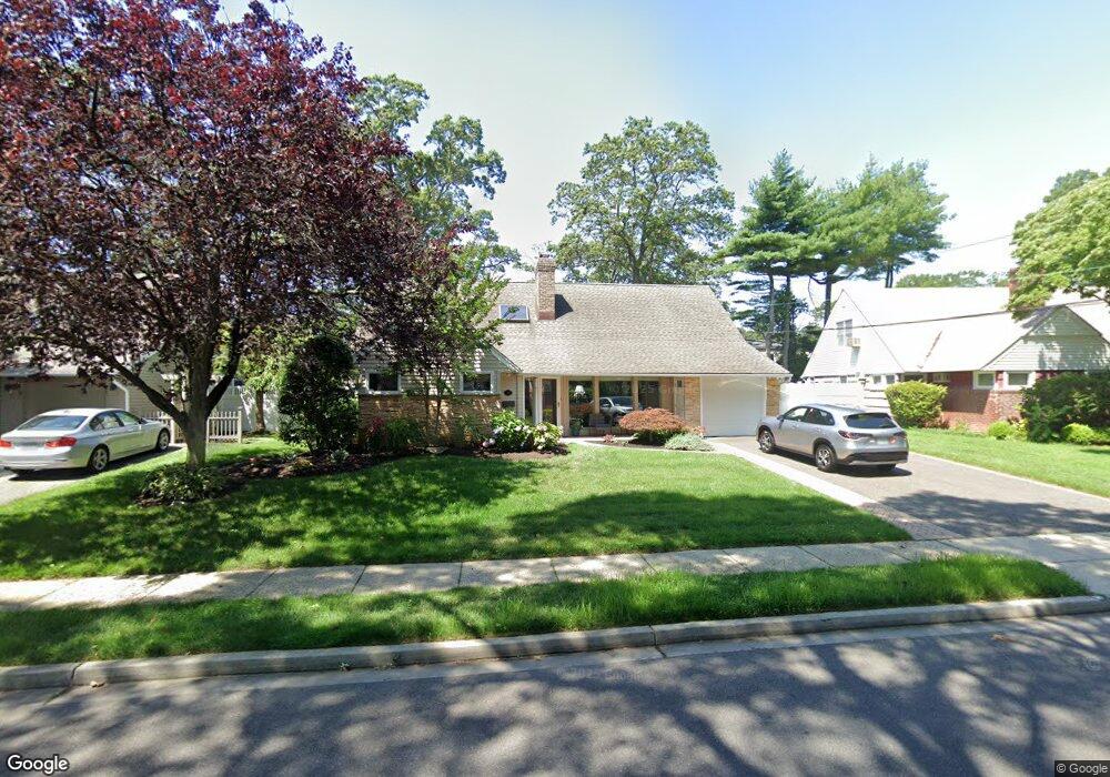
30 Range Dr Merrick, NY 11566
Estimated Value: $953,960 - $1,184,000
5
Beds
3
Baths
2,526
Sq Ft
$423/Sq Ft
Est. Value
About This Home
This home is located at 30 Range Dr, Merrick, NY 11566 and is currently estimated at $1,068,980, approximately $423 per square foot. 30 Range Dr is a home located in Nassau County with nearby schools including Merrick Avenue Middle School, Sanford H Calhoun High School, and Grace Christian Academy.
Ownership History
Date
Name
Owned For
Owner Type
Purchase Details
Closed on
Nov 14, 2014
Sold by
Carlton Lawrence S and Carlton Janet A
Bought by
Waterman Jodi
Current Estimated Value
Home Financials for this Owner
Home Financials are based on the most recent Mortgage that was taken out on this home.
Original Mortgage
$175,000
Outstanding Balance
$134,696
Interest Rate
4.13%
Mortgage Type
New Conventional
Estimated Equity
$934,284
Create a Home Valuation Report for This Property
The Home Valuation Report is an in-depth analysis detailing your home's value as well as a comparison with similar homes in the area
Home Values in the Area
Average Home Value in this Area
Purchase History
| Date | Buyer | Sale Price | Title Company |
|---|---|---|---|
| Waterman Jodi | $615,000 | None Available |
Source: Public Records
Mortgage History
| Date | Status | Borrower | Loan Amount |
|---|---|---|---|
| Open | Waterman Jodi | $175,000 |
Source: Public Records
Tax History
| Year | Tax Paid | Tax Assessment Tax Assessment Total Assessment is a certain percentage of the fair market value that is determined by local assessors to be the total taxable value of land and additions on the property. | Land | Improvement |
|---|---|---|---|---|
| 2025 | $16,269 | $572 | $206 | $366 |
| 2024 | $4,242 | $607 | $219 | $388 |
Source: Public Records
Map
Nearby Homes
- 138 Hewlett Ave
- 24 Loines Ave
- 18 Helene Ave
- 16 Margaret Blvd
- 19 Margaret Blvd
- 1931 Miller Place
- 70 Nancy Blvd
- 43 Wynsum Ave
- 1911 Carroll Ave
- 2203 Washington St
- 45 Gregory Ave
- 2 Garfield St
- 1811 Bedford Ave
- 163 Wynsum Ave
- 1680 Lake Ave
- 7 Rutgers Place
- 1715 Remson Ave
- 498 Farmers Ave
- 160 Bedford Ave
- 132 Webster St
Your Personal Tour Guide
Ask me questions while you tour the home.