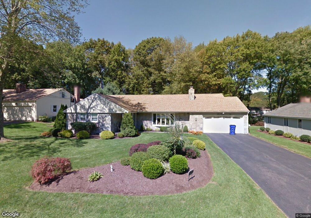
30 Ranger Ln West Hartford, CT 06117
Estimated Value: $678,000 - $731,000
3
Beds
3
Baths
1,822
Sq Ft
$388/Sq Ft
Est. Value
About This Home
This home is located at 30 Ranger Ln, West Hartford, CT 06117 and is currently estimated at $707,540, approximately $388 per square foot. 30 Ranger Ln is a home located in Hartford County with nearby schools including Bugbee School, King Philip Middle School, and Hall High School.
Ownership History
Date
Name
Owned For
Owner Type
Purchase Details
Closed on
Dec 16, 2022
Sold by
Dinino V
Bought by
Dinino Quintino
Current Estimated Value
Home Financials for this Owner
Home Financials are based on the most recent Mortgage that was taken out on this home.
Original Mortgage
$234,944
Interest Rate
6.33%
Mortgage Type
Stand Alone Refi Refinance Of Original Loan
Purchase Details
Closed on
Jul 31, 2003
Sold by
Waxman Carol H
Bought by
Dinino Quintino and Dinino Sherril
Home Financials for this Owner
Home Financials are based on the most recent Mortgage that was taken out on this home.
Original Mortgage
$100,000
Interest Rate
5.28%
Purchase Details
Closed on
Jun 30, 1992
Sold by
Walker Alexander and Walker Judith
Bought by
Waxman Carol
Create a Home Valuation Report for This Property
The Home Valuation Report is an in-depth analysis detailing your home's value as well as a comparison with similar homes in the area
Home Values in the Area
Average Home Value in this Area
Purchase History
| Date | Buyer | Sale Price | Title Company |
|---|---|---|---|
| Dinino Quintino | -- | None Available | |
| Dinino Quintino | $335,000 | -- | |
| Waxman Carol | $246,400 | -- |
Source: Public Records
Mortgage History
| Date | Status | Borrower | Loan Amount |
|---|---|---|---|
| Previous Owner | Dinino Quintino | $234,944 | |
| Previous Owner | Waxman Carol | $300,000 | |
| Previous Owner | Waxman Carol | $150,000 | |
| Previous Owner | Waxman Carol | $100,000 |
Source: Public Records
Tax History Compared to Growth
Tax History
| Year | Tax Paid | Tax Assessment Tax Assessment Total Assessment is a certain percentage of the fair market value that is determined by local assessors to be the total taxable value of land and additions on the property. | Land | Improvement |
|---|---|---|---|---|
| 2025 | $13,543 | $302,440 | $135,000 | $167,440 |
| 2024 | $12,808 | $302,440 | $135,000 | $167,440 |
| 2023 | $12,376 | $302,440 | $135,000 | $167,440 |
| 2022 | $12,303 | $302,440 | $135,000 | $167,440 |
| 2021 | $11,723 | $276,360 | $135,000 | $141,360 |
| 2020 | $11,552 | $276,360 | $126,100 | $150,260 |
| 2019 | $11,552 | $276,360 | $126,070 | $150,290 |
| 2018 | $11,331 | $276,360 | $126,070 | $150,290 |
| 2017 | $11,342 | $276,360 | $126,070 | $150,290 |
| 2016 | $10,136 | $256,550 | $126,350 | $130,200 |
| 2015 | $9,828 | $256,550 | $126,350 | $130,200 |
| 2014 | $9,587 | $256,550 | $126,350 | $130,200 |
Source: Public Records
Map
Nearby Homes
- 5 Coolidge Rd
- 2645 Albany Ave
- 592 Mountain Rd Unit A
- 62 Blue Ridge Ln
- 2581 Albany Ave
- 37 W Normandy Dr
- 123 Westmont St
- 6 W Maxwell Dr
- 124 High Ridge Rd
- 6 Old Oak Rd
- 30 Farmstead Ln
- 14 Gledhill Ln
- 14 Cedar Ledge Rd
- 115 Orchard Rd
- 51 Sky View Dr Unit 4
- 162 Balfour Dr
- 53 Whitehill Dr
- 15 Rushleigh Rd
- 21 Rushleigh Rd
- 473 Fern St