30 River Dr Cascade, MT 59421
Estimated Value: $894,000 - $1,196,000
3
Beds
3
Baths
2,812
Sq Ft
$365/Sq Ft
Est. Value
About This Home
This home is located at 30 River Dr, Cascade, MT 59421 and is currently estimated at $1,025,888, approximately $364 per square foot. 30 River Dr is a home located in Cascade County with nearby schools including Cascade School, Cascade Junior High School, and Cascade High School.
Ownership History
Date
Name
Owned For
Owner Type
Purchase Details
Closed on
Oct 28, 2009
Sold by
Buckin Buffalo Llc
Bought by
Matsko Joann and Matsko Thomas H
Current Estimated Value
Home Financials for this Owner
Home Financials are based on the most recent Mortgage that was taken out on this home.
Original Mortgage
$75,247
Interest Rate
4.92%
Mortgage Type
Unknown
Purchase Details
Closed on
May 21, 2007
Sold by
Kenyon Lynn
Bought by
Buckin Buffalo Llc
Purchase Details
Closed on
Mar 2, 2007
Sold by
Mcdunn Roy J
Bought by
Kenyon Lynn
Home Financials for this Owner
Home Financials are based on the most recent Mortgage that was taken out on this home.
Original Mortgage
$380,000
Interest Rate
6.21%
Mortgage Type
New Conventional
Create a Home Valuation Report for This Property
The Home Valuation Report is an in-depth analysis detailing your home's value as well as a comparison with similar homes in the area
Purchase History
| Date | Buyer | Sale Price | Title Company |
|---|---|---|---|
| Matsko Joann | -- | Stgf | |
| Buckin Buffalo Llc | -- | Stgf | |
| Kenyon Lynn | -- | Stgf |
Source: Public Records
Mortgage History
| Date | Status | Borrower | Loan Amount |
|---|---|---|---|
| Closed | Matsko Joann | $75,247 | |
| Open | Matsko Joann | $399,200 | |
| Previous Owner | Kenyon Lynn | $380,000 |
Source: Public Records
Tax History
| Year | Tax Paid | Tax Assessment Tax Assessment Total Assessment is a certain percentage of the fair market value that is determined by local assessors to be the total taxable value of land and additions on the property. | Land | Improvement |
|---|---|---|---|---|
| 2025 | $4,505 | $837,200 | $0 | $0 |
| 2024 | $6,136 | $936,800 | $0 | $0 |
| 2023 | $6,021 | $936,800 | $0 | $0 |
| 2022 | $4,050 | $558,286 | $0 | $0 |
| 2021 | $3,942 | $558,286 | $0 | $0 |
| 2020 | $4,053 | $527,000 | $0 | $0 |
| 2019 | $4,333 | $527,000 | $0 | $0 |
| 2018 | $3,935 | $464,200 | $0 | $0 |
| 2017 | $3,950 | $464,200 | $0 | $0 |
| 2016 | $4,142 | $453,500 | $0 | $0 |
| 2015 | $3,535 | $453,500 | $0 | $0 |
| 2014 | $4,059 | $264,470 | $0 | $0 |
Source: Public Records
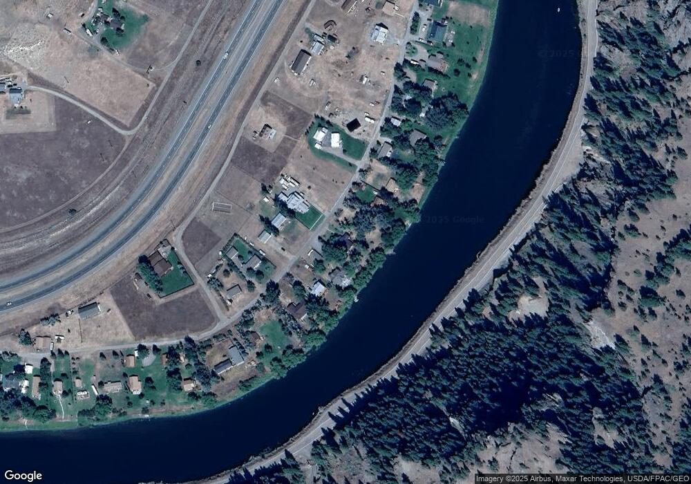
Map
Nearby Homes
- 23 River Dr
- 29 River Dr
- 256 Cooper Dr
- 2973 Old Us Highway 91
- 7 Meadow Ln
- 153 Cooper Dr
- 50 Missouri Overlook Dr
- 24 Golden Eagle Dr
- 64 Bluebird Dr
- Lot 003 Pioneer Trail Ln Unit Lot 003
- lot 002 Pioneer Trail Ln
- Lot 1 Block 3 Pioneer Trail Ln
- NHN Big Pine Ln
- TBD Novak Creek Ln
- 0 Novak Creek Ln
- 0 Novak Creek Ln Unit 353229
- 20 Eagle Rock Ln
- Nhn Sugarloaf Mountain Ln
- Tbd Mountain Home Ln
- 0 Mountain Home Ln Unit 16921312
Your Personal Tour Guide
Ask me questions while you tour the home.