30 River Ln Dennis Port, MA 2639
Dennis Port NeighborhoodEstimated Value: $736,000 - $1,604,000
4
Beds
4
Baths
3,134
Sq Ft
$374/Sq Ft
Est. Value
About This Home
This home is located at 30 River Ln, Dennis Port, MA 2639 and is currently estimated at $1,172,794, approximately $374 per square foot. 30 River Ln is a home located in Barnstable County with nearby schools including Dennis-Yarmouth Regional High School and St. Pius X. School.
Ownership History
Date
Name
Owned For
Owner Type
Purchase Details
Closed on
Oct 22, 2024
Sold by
Stewart Carolyn K
Bought by
Carolyn K Stewart Lt and Stewart
Current Estimated Value
Purchase Details
Closed on
Jun 14, 2004
Sold by
Stewart Carolyn K and Stewart Douglas R
Bought by
Stewart Carolyn K
Create a Home Valuation Report for This Property
The Home Valuation Report is an in-depth analysis detailing your home's value as well as a comparison with similar homes in the area
Home Values in the Area
Average Home Value in this Area
Purchase History
| Date | Buyer | Sale Price | Title Company |
|---|---|---|---|
| Carolyn K Stewart Lt | -- | None Available | |
| Carolyn K Stewart Lt | -- | None Available | |
| Stewart Carolyn K | -- | -- | |
| Stewart Carolyn K | -- | -- |
Source: Public Records
Tax History Compared to Growth
Tax History
| Year | Tax Paid | Tax Assessment Tax Assessment Total Assessment is a certain percentage of the fair market value that is determined by local assessors to be the total taxable value of land and additions on the property. | Land | Improvement |
|---|---|---|---|---|
| 2025 | $4,976 | $1,149,200 | $377,800 | $771,400 |
| 2024 | $5,146 | $1,172,100 | $363,300 | $808,800 |
| 2023 | $5,022 | $1,075,300 | $330,200 | $745,100 |
| 2022 | $4,784 | $854,200 | $297,500 | $556,700 |
| 2021 | $4,869 | $807,500 | $291,700 | $515,800 |
| 2020 | $4,600 | $754,100 | $291,700 | $462,400 |
| 2019 | $4,779 | $774,500 | $317,400 | $457,100 |
| 2018 | $4,469 | $704,900 | $302,300 | $402,600 |
| 2017 | $4,041 | $657,100 | $254,500 | $402,600 |
| 2016 | $3,984 | $610,100 | $266,400 | $343,700 |
| 2015 | $3,905 | $610,100 | $266,400 | $343,700 |
| 2014 | $4,028 | $634,300 | $266,400 | $367,900 |
Source: Public Records
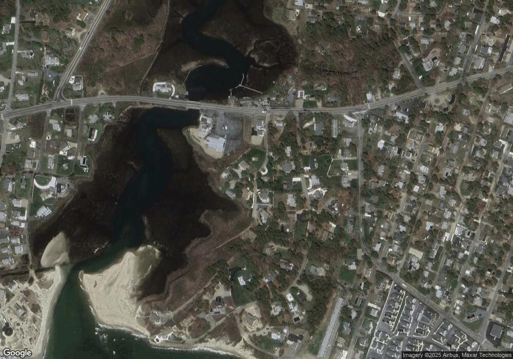
Map
Nearby Homes
- 37 Ocean Dr Unit 2
- 6 Baker Way
- 64 Beaten Rd
- 112 Old Wharf Rd Unit E4
- 112 Old Wharf Rd Unit E1
- 120 Old Wharf Rd Unit 11
- 154 Old Wharf Rd Unit 26
- 154 Old Wharf Rd Unit 14
- 80 Michaels Ave
- 61 Trotters Ln
- 217 Old Wharf Rd Unit 64
- 241 Old Wharf Rd Unit 82
- 241 Old Wharf Rd Unit 127
- 241 Old Wharf Rd Unit 90
- 31 Easy St
- 262 Old Wharf Rd Unit 67
- 262 Old Wharf Rd Unit 5
- 262 Old Wharf Rd Unit 5
- 262 Old Wharf Rd Unit 20
- 262 Old Wharf Rd Unit 87
- 24 River Ln
- 16 River Ln
- 54 Swan River Unit U-A
- 54 Swan River Unit 4
- 54 Swan River Unit U5
- 54 Swan River Unit 3
- 54 Swan River Unit 12
- 22 River Ln
- 20 River Ln
- 17 River Ln
- 23 River Ln
- 26 River Ln
- 19 Miramar Ave
- 13 Miramar Ave
- 54 River Ln Unit A
- 54 River Ln
- 23 Miramar Ave
- 9 Miramar Ave
- 31 Miramar Ave
- 19 Lower County Rd