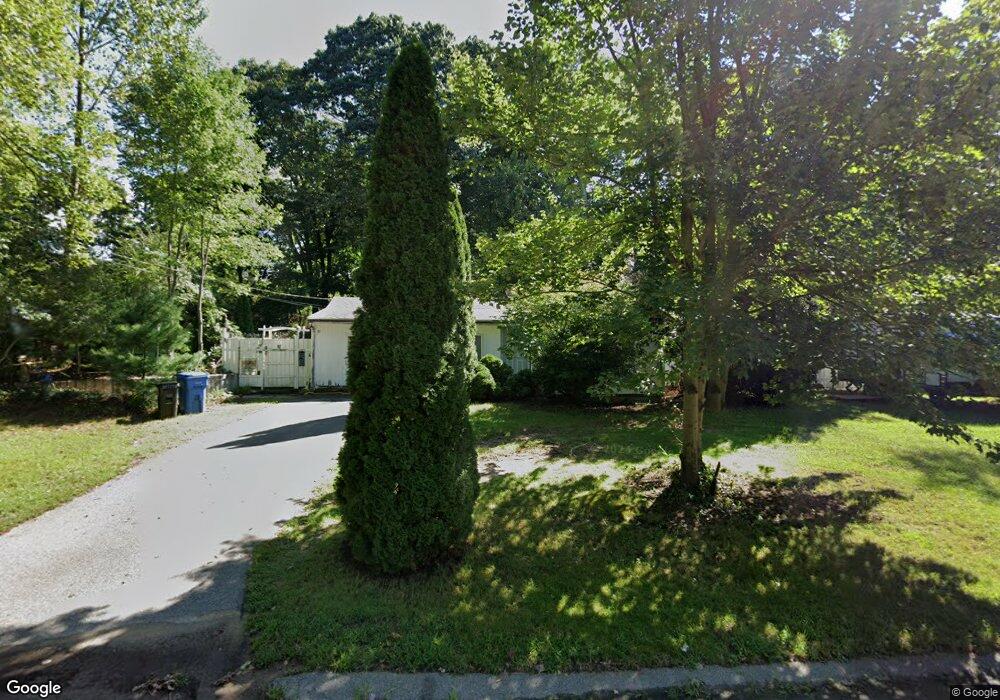
30 Riverside Dr Wrentham, MA 02093
Estimated Value: $445,000 - $505,502
2
Beds
1
Bath
900
Sq Ft
$522/Sq Ft
Est. Value
About This Home
This home is located at 30 Riverside Dr, Wrentham, MA 02093 and is currently estimated at $469,876, approximately $522 per square foot. 30 Riverside Dr is a home located in Norfolk County with nearby schools including Delaney Elementary School and Charles E Roderick.
Ownership History
Date
Name
Owned For
Owner Type
Purchase Details
Closed on
Nov 8, 1995
Sold by
Strumski Debra L
Bought by
Egerton Keith A and Egerton Sherry R
Current Estimated Value
Home Financials for this Owner
Home Financials are based on the most recent Mortgage that was taken out on this home.
Original Mortgage
$90,000
Interest Rate
7.62%
Mortgage Type
Purchase Money Mortgage
Create a Home Valuation Report for This Property
The Home Valuation Report is an in-depth analysis detailing your home's value as well as a comparison with similar homes in the area
Purchase History
| Date | Buyer | Sale Price | Title Company |
|---|---|---|---|
| Egerton Keith A | $90,000 | -- |
Source: Public Records
Mortgage History
| Date | Status | Borrower | Loan Amount |
|---|---|---|---|
| Open | Egerton Keith A | $90,000 | |
| Closed | Egerton Keith A | $90,000 |
Source: Public Records
Tax History
| Year | Tax Paid | Tax Assessment Tax Assessment Total Assessment is a certain percentage of the fair market value that is determined by local assessors to be the total taxable value of land and additions on the property. | Land | Improvement |
|---|---|---|---|---|
| 2025 | $5,371 | $463,400 | $308,900 | $154,500 |
| 2024 | $5,087 | $423,900 | $308,900 | $115,000 |
| 2023 | $4,770 | $378,000 | $280,800 | $97,200 |
| 2022 | $4,711 | $344,600 | $255,200 | $89,400 |
| 2021 | $4,789 | $340,400 | $255,200 | $85,200 |
| 2020 | $4,208 | $295,300 | $209,800 | $85,500 |
| 2019 | $4,150 | $293,900 | $209,800 | $84,100 |
| 2018 | $4,021 | $282,400 | $210,000 | $72,400 |
| 2017 | $3,907 | $274,200 | $205,900 | $68,300 |
| 2016 | $3,811 | $266,900 | $199,900 | $67,000 |
| 2015 | $3,723 | $248,500 | $192,200 | $56,300 |
| 2014 | $3,676 | $240,100 | $184,900 | $55,200 |
Source: Public Records
Map
Nearby Homes
- 10 Earle Stewart Ln Unit Lot 5
- 12 Earle Stewart Ln
- 2 Earle Stewart Ln
- 3 Earle Stewart Ln
- 135 Creek St Unit 2
- 440 Chestnut St
- 613 West St
- 1222 South St
- 10 Nature View Dr
- 15 Nature View Dr
- 500 Franklin St
- 955 Summer St
- 0 Berry St
- 18 Huntington Ave
- 19 Chestnut Lot 0
- 20 Field Cir
- 0 Fall Ln
- 11 Amber Dr
- 50 Reed Fulton Ave Unit Lot 61
- 160 Washington St Unit 22
Your Personal Tour Guide
Ask me questions while you tour the home.