30 Robin Lake Dr Cherry Hill, NJ 08003
Estimated Value: $862,000 - $1,097,000
--
Bed
--
Bath
4,873
Sq Ft
$201/Sq Ft
Est. Value
About This Home
This home is located at 30 Robin Lake Dr, Cherry Hill, NJ 08003 and is currently estimated at $977,491, approximately $200 per square foot. 30 Robin Lake Dr is a home located in Camden County with nearby schools including Bret Harte Elementary School, Henry C. Beck Middle School, and Cherry Hill High-East High School.
Ownership History
Date
Name
Owned For
Owner Type
Purchase Details
Closed on
Jan 7, 2011
Sold by
Patti Aimee L
Bought by
Patti Paul A
Current Estimated Value
Purchase Details
Closed on
May 30, 2003
Sold by
Golia Francis J
Bought by
Patti Paul A and Patti Aimee L
Home Financials for this Owner
Home Financials are based on the most recent Mortgage that was taken out on this home.
Original Mortgage
$385,000
Interest Rate
5.45%
Create a Home Valuation Report for This Property
The Home Valuation Report is an in-depth analysis detailing your home's value as well as a comparison with similar homes in the area
Home Values in the Area
Average Home Value in this Area
Purchase History
| Date | Buyer | Sale Price | Title Company |
|---|---|---|---|
| Patti Paul A | -- | -- | |
| Patti Paul A | $495,000 | -- |
Source: Public Records
Mortgage History
| Date | Status | Borrower | Loan Amount |
|---|---|---|---|
| Previous Owner | Patti Paul A | $385,000 |
Source: Public Records
Tax History Compared to Growth
Tax History
| Year | Tax Paid | Tax Assessment Tax Assessment Total Assessment is a certain percentage of the fair market value that is determined by local assessors to be the total taxable value of land and additions on the property. | Land | Improvement |
|---|---|---|---|---|
| 2025 | $21,229 | $476,100 | $161,500 | $314,600 |
| 2024 | $20,006 | $476,100 | $161,500 | $314,600 |
| 2023 | $20,006 | $476,100 | $161,500 | $314,600 |
| 2022 | $19,453 | $476,100 | $161,500 | $314,600 |
| 2021 | $19,515 | $476,100 | $161,500 | $314,600 |
| 2020 | $19,277 | $476,100 | $161,500 | $314,600 |
| 2019 | $19,268 | $476,100 | $161,500 | $314,600 |
| 2018 | $19,215 | $476,100 | $161,500 | $314,600 |
| 2017 | $18,954 | $476,100 | $161,500 | $314,600 |
| 2016 | $18,701 | $476,100 | $161,500 | $314,600 |
| 2015 | $18,406 | $476,100 | $161,500 | $314,600 |
| 2014 | $18,201 | $476,100 | $161,500 | $314,600 |
Source: Public Records
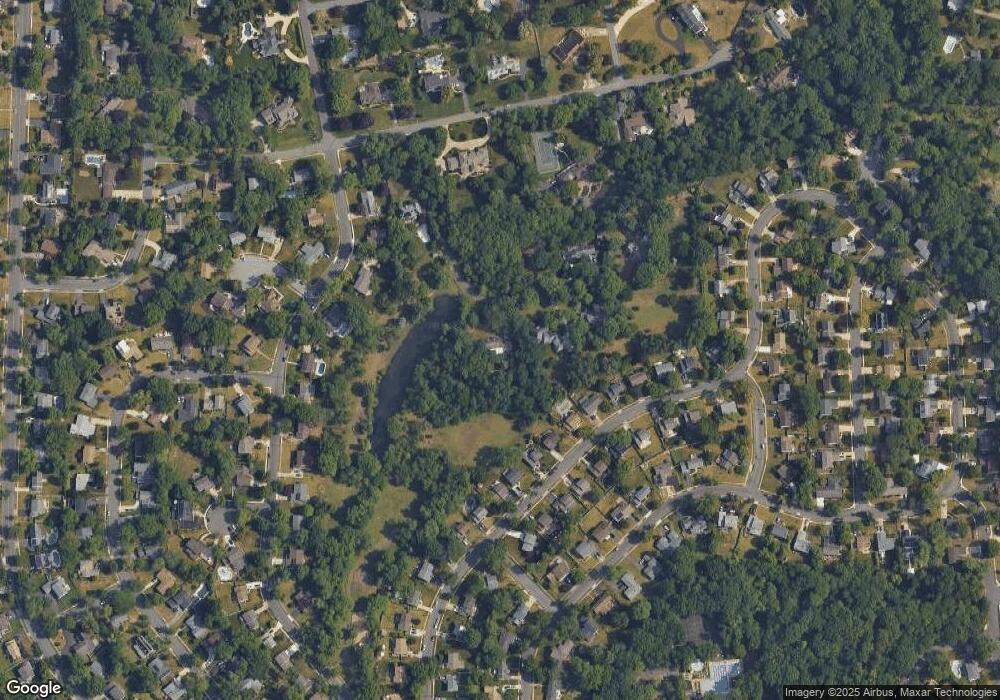
Map
Nearby Homes
- 1869 W Point Dr
- 1224 Concord Ln
- 1104 Willowdale Dr
- 1108 Crane Dr
- 1105 Heartwood Dr
- 1217 Liberty Bell Dr
- 1333 Bunker Hill Dr
- 1852 Lark Ln
- 1613 Mayflower Ln
- 1684 Blue Jay Ln
- 4 Southwood Dr
- 1809 E Fireside Ct
- 28 Vanessa Ct
- 1134 Winding Dr
- 102 Lane of Trees
- 503 Balsam Rd
- 1121 Winding Dr
- 1304 Marlkress Rd
- 506 Cranford Rd
- 119 W Riding Rd
- 22 Robin Lake Dr
- 1865 W Point Dr
- 1861 W Point Dr
- 1873 W Point Dr
- 1857 W Point Dr
- 1145 Willowdale Dr
- 26 Willits Ln
- 26 Robin Lake Dr
- 1877 W Point Dr
- 1853 W Point Dr
- 1141 Willowdale Dr
- 1149 Willowdale Dr
- 12 Robin Lake Dr
- 1849 W Point Dr
- 1881 W Point Dr
- 1872 W Point Dr
- 1133 Willowdale Dr
- 1876 W Point Dr
- 1864 W Point Dr
- 1845 W Point Dr