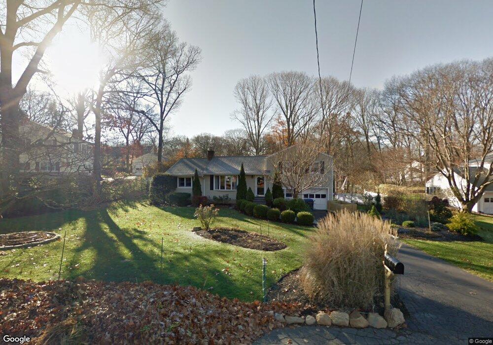
30 Rolling Wood Dr Trumbull, CT 06611
Trumbull Center NeighborhoodEstimated Value: $577,000 - $596,397
3
Beds
2
Baths
1,568
Sq Ft
$376/Sq Ft
Est. Value
About This Home
This home is located at 30 Rolling Wood Dr, Trumbull, CT 06611 and is currently estimated at $589,599, approximately $376 per square foot. 30 Rolling Wood Dr is a home located in Fairfield County with nearby schools including Booth Hill School, Hillcrest Middle School, and Trumbull High School.
Ownership History
Date
Name
Owned For
Owner Type
Purchase Details
Closed on
Oct 18, 1993
Sold by
Gamble Lois
Bought by
Lenz Peter and Kelly Ann
Current Estimated Value
Home Financials for this Owner
Home Financials are based on the most recent Mortgage that was taken out on this home.
Original Mortgage
$164,000
Interest Rate
3.5%
Mortgage Type
Unknown
Create a Home Valuation Report for This Property
The Home Valuation Report is an in-depth analysis detailing your home's value as well as a comparison with similar homes in the area
Home Values in the Area
Average Home Value in this Area
Purchase History
| Date | Buyer | Sale Price | Title Company |
|---|---|---|---|
| Lenz Peter | $205,000 | -- |
Source: Public Records
Mortgage History
| Date | Status | Borrower | Loan Amount |
|---|---|---|---|
| Open | Lenz Peter | $330,000 | |
| Closed | Lenz Peter | $140,000 | |
| Closed | Lenz Peter | $155,000 | |
| Closed | Lenz Peter | $164,000 |
Source: Public Records
Tax History Compared to Growth
Tax History
| Year | Tax Paid | Tax Assessment Tax Assessment Total Assessment is a certain percentage of the fair market value that is determined by local assessors to be the total taxable value of land and additions on the property. | Land | Improvement |
|---|---|---|---|---|
| 2025 | $8,701 | $235,410 | $127,540 | $107,870 |
| 2024 | $8,451 | $235,410 | $127,540 | $107,870 |
| 2023 | $8,322 | $235,410 | $127,540 | $107,870 |
| 2022 | $8,194 | $235,410 | $127,540 | $107,870 |
| 2021 | $7,163 | $199,220 | $110,880 | $88,340 |
| 2020 | $7,163 | $199,220 | $110,880 | $88,340 |
| 2018 | $7,007 | $199,220 | $110,880 | $88,340 |
| 2017 | $6,873 | $199,220 | $110,880 | $88,340 |
| 2016 | $6,744 | $199,220 | $110,880 | $88,340 |
| 2015 | $6,757 | $200,500 | $110,900 | $89,600 |
| 2014 | $6,612 | $200,500 | $110,900 | $89,600 |
Source: Public Records
Map
Nearby Homes
- 401 Unity Rd
- 11 Knollcrest Dr
- 2921 Nichols Ave
- 1 Village Dr
- 375 Silver St
- 32 Marshall Ave
- 69 Glen Cir
- 115 Silver St
- 374 Mapledale Place
- 450 Emerald Place
- 123 Beverly Dr
- 275 Roger Williams Rd
- 53 Beverly Dr
- 0 Lot #4 & Lot #5 W Mischa Rd Unit 24138429
- 3699 Broadbridge Ave Unit 107
- 227 Sylvan St
- 17 Sylvan St
- 539 Old Town Rd
- 122 Paugusett Cir
- 49 Soundview Ave
- 34 Rolling Wood Dr
- 26 Rolling Wood Dr
- 41 Leffert Rd
- 45 Leffert Rd
- 22 Rolling Wood Dr
- 37 Leffert Rd
- 29 Rolling Wood Dr
- 33 Rolling Wood Dr
- 49 Leffert Rd
- 37 Rolling Wood Dr
- 25 Rolling Wood Dr
- 33 Leffert Rd
- 18 Rolling Wood Dr
- 42 Rolling Wood Dr
- 53 Leffert Rd
- 21 Rolling Wood Dr
- 41 Rolling Wood Dr
- 40 Leffert Rd
- 27 Leffert Rd