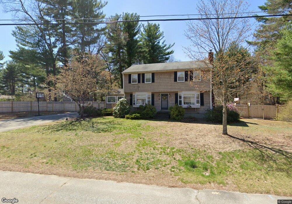
30 Ronald Dr Tewksbury, MA 01876
Estimated Value: $684,060 - $792,000
4
Beds
2
Baths
1,907
Sq Ft
$392/Sq Ft
Est. Value
About This Home
This home is located at 30 Ronald Dr, Tewksbury, MA 01876 and is currently estimated at $748,265, approximately $392 per square foot. 30 Ronald Dr is a home located in Middlesex County with nearby schools including Heath-Brook Elementary School, John W. Wynn Middle School, and John F. Ryan Elementary School.
Ownership History
Date
Name
Owned For
Owner Type
Purchase Details
Closed on
Jan 29, 2010
Sold by
Ahlquist Ronald R and Ahlquist Constance M
Bought by
Yennaco Joseph and Yennaco Elizabeth E
Current Estimated Value
Home Financials for this Owner
Home Financials are based on the most recent Mortgage that was taken out on this home.
Original Mortgage
$351,000
Outstanding Balance
$231,371
Interest Rate
4.95%
Mortgage Type
Purchase Money Mortgage
Estimated Equity
$516,894
Create a Home Valuation Report for This Property
The Home Valuation Report is an in-depth analysis detailing your home's value as well as a comparison with similar homes in the area
Home Values in the Area
Average Home Value in this Area
Purchase History
| Date | Buyer | Sale Price | Title Company |
|---|---|---|---|
| Yennaco Joseph | $390,000 | -- |
Source: Public Records
Mortgage History
| Date | Status | Borrower | Loan Amount |
|---|---|---|---|
| Open | Yennaco Joseph | $351,000 |
Source: Public Records
Tax History Compared to Growth
Tax History
| Year | Tax Paid | Tax Assessment Tax Assessment Total Assessment is a certain percentage of the fair market value that is determined by local assessors to be the total taxable value of land and additions on the property. | Land | Improvement |
|---|---|---|---|---|
| 2025 | $8,489 | $642,100 | $322,600 | $319,500 |
| 2024 | $8,232 | $614,800 | $307,300 | $307,500 |
| 2023 | $7,979 | $565,900 | $279,200 | $286,700 |
| 2022 | $7,641 | $502,700 | $243,000 | $259,700 |
| 2021 | $7,428 | $472,500 | $221,200 | $251,300 |
| 2020 | $7,167 | $448,800 | $210,800 | $238,000 |
| 2019 | $6,448 | $407,100 | $200,800 | $206,300 |
| 2018 | $50,835 | $380,300 | $200,800 | $179,500 |
| 2017 | $6,131 | $375,900 | $200,800 | $175,100 |
| 2016 | $5,924 | $362,300 | $200,800 | $161,500 |
| 2015 | $5,675 | $346,700 | $191,200 | $155,500 |
| 2014 | $5,390 | $334,600 | $191,200 | $143,400 |
Source: Public Records
Map
Nearby Homes
- 70 Ronald Dr
- 31 Marie St
- 14 Hinckley Rd
- 48 Whipple Rd
- 1501 Whipple Rd
- 51 Whipple Rd
- 6 Stonebury Way Unit 6
- 43 Palm Dr
- 77 Whipple Rd
- 16 Eagle Dr
- 31 Harjean Rd
- 29 Oregon Rd
- 1455 Main St Unit 8
- 1455 Main St Unit 4
- 1455 Main St Unit 10
- 200 Mccarthy Way
- 42 Fairmeadow Rd
- 1042 Chandler St
- 93 Fairway Dr
- 127 Caddy Ct