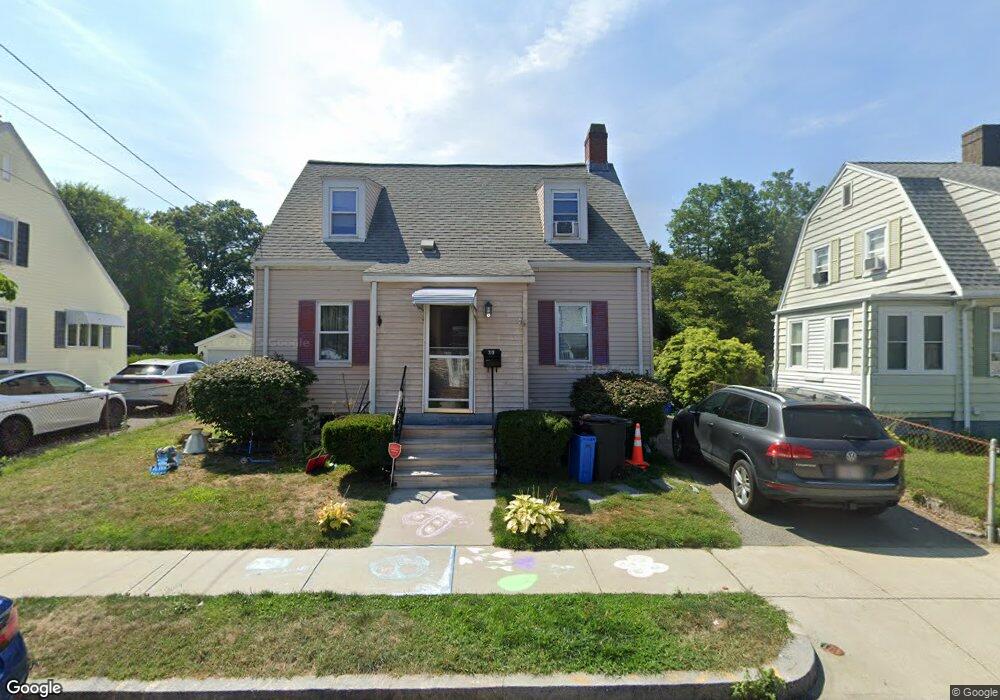
30 Ruggles St Quincy, MA 02169
Quincy Point NeighborhoodEstimated Value: $549,469 - $626,000
2
Beds
1
Bath
1,056
Sq Ft
$551/Sq Ft
Est. Value
About This Home
This home is located at 30 Ruggles St, Quincy, MA 02169 and is currently estimated at $582,367, approximately $551 per square foot. 30 Ruggles St is a home located in Norfolk County with nearby schools including Point Webster Middle School, Clifford H. Marshall Elementary School, and Quincy High School.
Ownership History
Date
Name
Owned For
Owner Type
Purchase Details
Closed on
Nov 13, 2023
Sold by
Baker Deborah E
Bought by
Baker 2023 Ft and Baker
Current Estimated Value
Purchase Details
Closed on
Oct 18, 2011
Sold by
Morad James W Est and Morad
Bought by
Baker Deborah
Purchase Details
Closed on
Dec 8, 1993
Sold by
Beston Harold C and Beston Marion R
Bought by
Morad James W and Morad Caroline M
Create a Home Valuation Report for This Property
The Home Valuation Report is an in-depth analysis detailing your home's value as well as a comparison with similar homes in the area
Home Values in the Area
Average Home Value in this Area
Purchase History
| Date | Buyer | Sale Price | Title Company |
|---|---|---|---|
| Baker 2023 Ft | -- | None Available | |
| Baker Deborah | -- | -- | |
| Morad James W | $136,000 | -- | |
| Morad James W | $136,000 | -- |
Source: Public Records
Mortgage History
| Date | Status | Borrower | Loan Amount |
|---|---|---|---|
| Previous Owner | Morad James W | $15,000 |
Source: Public Records
Tax History Compared to Growth
Tax History
| Year | Tax Paid | Tax Assessment Tax Assessment Total Assessment is a certain percentage of the fair market value that is determined by local assessors to be the total taxable value of land and additions on the property. | Land | Improvement |
|---|---|---|---|---|
| 2025 | $5,508 | $477,700 | $279,000 | $198,700 |
| 2024 | $5,215 | $462,700 | $265,700 | $197,000 |
| 2023 | $4,739 | $425,800 | $241,600 | $184,200 |
| 2022 | $4,681 | $390,700 | $219,600 | $171,100 |
| 2021 | $4,664 | $384,200 | $219,600 | $164,600 |
| 2020 | $4,464 | $359,100 | $207,200 | $151,900 |
| 2019 | $4,094 | $326,200 | $191,900 | $134,300 |
| 2018 | $3,978 | $298,200 | $174,400 | $123,800 |
| 2017 | $3,836 | $270,700 | $166,100 | $104,600 |
| 2016 | $3,586 | $249,700 | $151,000 | $98,700 |
| 2015 | $3,399 | $232,800 | $142,400 | $90,400 |
| 2014 | $3,284 | $221,000 | $142,400 | $78,600 |
Source: Public Records
Map
Nearby Homes
- 25 5th Ave
- 934 Southern Artery Unit 109
- 16 Perley Place
- 161 Sumner St Unit 4
- 41 Broadway
- 51 Sumner St
- 35 Sumner St
- 32 Sumner St
- 134 S Walnut St
- 31 Graham St
- 313 Washington St
- 72 Main St
- 50 Des Moines Rd Unit E1
- 26 Lawrence St
- 35 Desmoines Rd Unit 510
- 585 Washington St Unit model-2
- 585 Washington St Unit model-1
- 585 Washington St Unit model
- 200 Falls Blvd Unit C308
- 200 Falls Blvd Unit A105