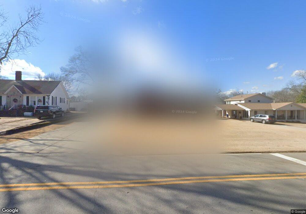
30 Shadburn Ferry Rd Buford, GA 30518
Estimated Value: $457,000 - $659,000
3
Beds
3
Baths
2,518
Sq Ft
$214/Sq Ft
Est. Value
About This Home
This home is located at 30 Shadburn Ferry Rd, Buford, GA 30518 and is currently estimated at $538,547, approximately $213 per square foot. 30 Shadburn Ferry Rd is a home located in Gwinnett County with nearby schools including Buford Elementary School, Buford Senior Academy, and Buford Academy.
Ownership History
Date
Name
Owned For
Owner Type
Purchase Details
Closed on
Aug 14, 2024
Sold by
Sweatt Gregor T
Bought by
Sweatt Gregor Trust and Sweatt Gregor Thomas
Current Estimated Value
Purchase Details
Closed on
Jul 11, 2024
Sold by
Sweatt Gregor T
Bought by
Sweatt Gregor Thomas Tr and Sweatt Julia Oline Tr
Purchase Details
Closed on
Mar 31, 2009
Sold by
Welch George and Welch Clydine
Bought by
Sweatt Gregor T and Sweatt Julia O
Purchase Details
Closed on
Mar 20, 2003
Sold by
Esta Lennie Mae Hayes Hamilton
Bought by
Welch George and Welch Clydine
Home Financials for this Owner
Home Financials are based on the most recent Mortgage that was taken out on this home.
Original Mortgage
$2,500
Interest Rate
5.86%
Mortgage Type
Construction
Create a Home Valuation Report for This Property
The Home Valuation Report is an in-depth analysis detailing your home's value as well as a comparison with similar homes in the area
Home Values in the Area
Average Home Value in this Area
Purchase History
| Date | Buyer | Sale Price | Title Company |
|---|---|---|---|
| Sweatt Gregor Trust | -- | -- | |
| Sweatt Gregor Thomas Tr | -- | -- | |
| Sweatt Gregor T | $120,000 | -- | |
| Welch George | -- | -- |
Source: Public Records
Mortgage History
| Date | Status | Borrower | Loan Amount |
|---|---|---|---|
| Previous Owner | Welch George | $2,500 |
Source: Public Records
Tax History Compared to Growth
Tax History
| Year | Tax Paid | Tax Assessment Tax Assessment Total Assessment is a certain percentage of the fair market value that is determined by local assessors to be the total taxable value of land and additions on the property. | Land | Improvement |
|---|---|---|---|---|
| 2025 | $716 | $210,200 | $40,000 | $170,200 |
| 2024 | $716 | $214,720 | $33,600 | $181,120 |
| 2023 | $716 | $162,440 | $26,000 | $136,440 |
| 2022 | $716 | $162,440 | $26,000 | $136,440 |
| 2021 | $716 | $99,720 | $16,800 | $82,920 |
| 2020 | $716 | $99,720 | $16,800 | $82,920 |
| 2019 | $647 | $99,720 | $16,800 | $82,920 |
| 2018 | $647 | $60,360 | $5,600 | $54,760 |
| 2016 | $642 | $60,360 | $5,600 | $54,760 |
| 2015 | $665 | $60,360 | $5,600 | $54,760 |
| 2014 | $664 | $58,760 | $8,000 | $50,760 |
Source: Public Records
Map
Nearby Homes
- 10 Shadburn Ferry Rd
- 25 Stonehedge Dr
- 48 Stonehedge Ct
- 157 Shadburn Ferry Rd
- 304 E Jackson St
- 550 Gwinnett St
- 408 Bona Rd
- 120 Gwinnett St
- 4942 Greenard Watson Ln
- 4933 Greenard Watson Ln
- 130 Legion Dr
- 5789 Creek Indian Dr
- 1481 Buice Crest Dr
- 1098 Caruso Dr
- 286 Oakland Ave
- 282 Oakland Ave
- 489 Williams St
- 4817 Cooper Farm Dr
- 449 S Hill St
- 5435 Shadburn Ferry Rd
- 40 Shadburn Ferry Rd
- 35 Victor Dr
- 480 W Shadburn Ave
- 60 Shadburn Ferry Rd
- 25 Victor Dr
- 45 Victor Dr
- 460 E Shadburn Ave
- 55 Victor Dr
- 496 E Shadburn Ave
- 5 Stonehedge Dr
- 65 Victor Dr
- 75 Shadburn Ferry Rd
- 40 Victor Dr
- 80 Shadburn Ferry Rd
- 50 Victor Dr
- 30 Victor Dr
- 60 Victor Dr
- 10 Victor Dr
- 85 Shadburn Ferry Rd
- 75 Victor Dr