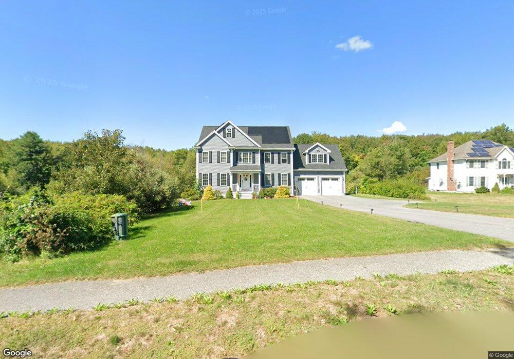
30 Skytop Ln Dunstable, MA 01827
Estimated Value: $966,213 - $1,022,000
3
Beds
3
Baths
3,024
Sq Ft
$328/Sq Ft
Est. Value
About This Home
This home is located at 30 Skytop Ln, Dunstable, MA 01827 and is currently estimated at $993,053, approximately $328 per square foot. 30 Skytop Ln is a home located in Middlesex County with nearby schools including Groton Dunstable Regional High School and 2nd Nature Academy.
Ownership History
Date
Name
Owned For
Owner Type
Purchase Details
Closed on
May 1, 2020
Sold by
Tully Homes Llc
Bought by
Mcpartland Brian P and Rapp Sarah
Current Estimated Value
Home Financials for this Owner
Home Financials are based on the most recent Mortgage that was taken out on this home.
Original Mortgage
$543,600
Outstanding Balance
$482,344
Interest Rate
3.6%
Mortgage Type
New Conventional
Estimated Equity
$510,709
Purchase Details
Closed on
Oct 10, 2006
Sold by
Cbi Dunstable Llc
Bought by
Deer Run Dev Inc
Create a Home Valuation Report for This Property
The Home Valuation Report is an in-depth analysis detailing your home's value as well as a comparison with similar homes in the area
Home Values in the Area
Average Home Value in this Area
Purchase History
| Date | Buyer | Sale Price | Title Company |
|---|---|---|---|
| Mcpartland Brian P | $679,500 | None Available | |
| Deer Run Dev Inc | -- | -- | |
| Deer Run Dev Inc | -- | -- |
Source: Public Records
Mortgage History
| Date | Status | Borrower | Loan Amount |
|---|---|---|---|
| Open | Mcpartland Brian P | $543,600 |
Source: Public Records
Tax History
| Year | Tax Paid | Tax Assessment Tax Assessment Total Assessment is a certain percentage of the fair market value that is determined by local assessors to be the total taxable value of land and additions on the property. | Land | Improvement |
|---|---|---|---|---|
| 2025 | $12,268 | $892,200 | $217,500 | $674,700 |
| 2024 | $11,902 | $852,600 | $211,600 | $641,000 |
| 2023 | $11,735 | $783,900 | $211,600 | $572,300 |
| 2022 | $10,643 | $697,900 | $211,600 | $486,300 |
| 2021 | $10,443 | $636,400 | $187,400 | $449,000 |
| 2020 | $3,018 | $179,200 | $179,200 | $0 |
| 2019 | $3,057 | $179,200 | $179,200 | $0 |
| 2018 | $3,120 | $177,900 | $177,900 | $0 |
| 2017 | $3,028 | $177,900 | $177,900 | $0 |
| 2016 | $2,539 | $153,400 | $153,400 | $0 |
| 2015 | $2,513 | $150,200 | $150,200 | $0 |
| 2014 | $2,369 | $150,200 | $150,200 | $0 |
Source: Public Records
Map
Nearby Homes
- 121 Cherrywood Dr
- 1 Doucet Ave
- 77 Wilderness Dr
- 7 Wilderness Dr
- 2 Wilderness Dr
- 3 Wilderness Dr
- 79 Wilderness Dr
- 6 Wilderness Dr
- 1 Wilderness Dr
- 57 Wilderness Dr
- 61 Wilderness Dr
- 59 Wilderness Dr
- 4 Wilderness Dr
- 58 Wilderness Dr
- 65 Wilderness Dr
- 4 Hikers Ln
- 8 Hikers Ln
- 141 Ridge Rd
- 8 Wilderness Dr
- 11 Lojko Dr
Your Personal Tour Guide
Ask me questions while you tour the home.