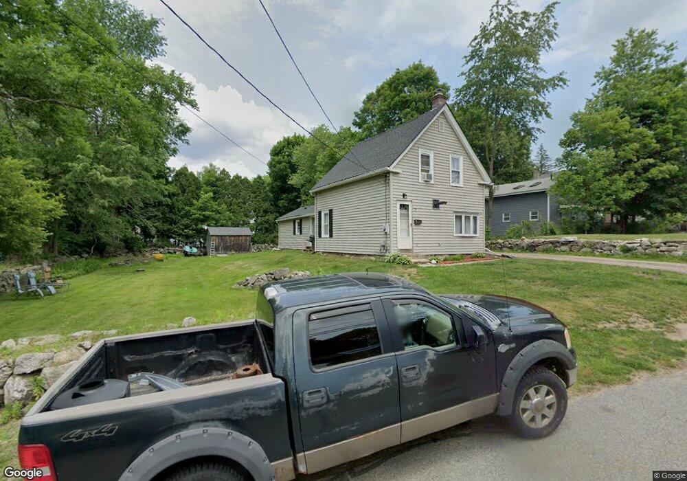
30 Spring St Leicester, MA 01524
Estimated Value: $350,523 - $385,000
3
Beds
1
Bath
1,176
Sq Ft
$315/Sq Ft
Est. Value
About This Home
This home is located at 30 Spring St, Leicester, MA 01524 and is currently estimated at $370,381, approximately $314 per square foot. 30 Spring St is a home located in Worcester County with nearby schools including Leicester Integrated Preschool, Leicester Memorial Elementary School, and Leicester Middle School.
Ownership History
Date
Name
Owned For
Owner Type
Purchase Details
Closed on
Sep 15, 1999
Sold by
Bleau Scott R and Bleau April S
Bought by
Whitla Randall D and Whitla Mary R
Current Estimated Value
Purchase Details
Closed on
Nov 23, 1992
Sold by
Mcgown Edward R and Mcgown Jane
Bought by
Bleau Scott R and Bleau April
Create a Home Valuation Report for This Property
The Home Valuation Report is an in-depth analysis detailing your home's value as well as a comparison with similar homes in the area
Home Values in the Area
Average Home Value in this Area
Purchase History
| Date | Buyer | Sale Price | Title Company |
|---|---|---|---|
| Whitla Randall D | $99,000 | -- | |
| Whitla Randall D | $99,000 | -- | |
| Bleau Scott R | $80,000 | -- | |
| Bleau Scott R | $80,000 | -- |
Source: Public Records
Mortgage History
| Date | Status | Borrower | Loan Amount |
|---|---|---|---|
| Open | Bleau Scott R | $18,000 | |
| Open | Bleau Scott R | $100,500 |
Source: Public Records
Tax History
| Year | Tax Paid | Tax Assessment Tax Assessment Total Assessment is a certain percentage of the fair market value that is determined by local assessors to be the total taxable value of land and additions on the property. | Land | Improvement |
|---|---|---|---|---|
| 2025 | $3,284 | $279,000 | $62,000 | $217,000 |
| 2024 | $3,105 | $247,400 | $54,300 | $193,100 |
| 2023 | $2,962 | $230,300 | $54,300 | $176,000 |
| 2022 | $2,861 | $204,500 | $51,500 | $153,000 |
| 2021 | $3,031 | $200,300 | $54,300 | $146,000 |
| 2020 | $2,426 | $162,700 | $48,100 | $114,600 |
| 2019 | $2,253 | $149,400 | $43,300 | $106,100 |
| 2018 | $2,248 | $139,700 | $43,300 | $96,400 |
| 2017 | $2,163 | $139,700 | $43,300 | $96,400 |
| 2016 | $2,071 | $139,000 | $54,100 | $84,900 |
| 2015 | $2,021 | $139,000 | $54,100 | $84,900 |
Source: Public Records
Map
Nearby Homes
- 0 S Main St Unit 73392435
- 27 Winslow Ave
- 502 Pine St
- 1548 Main St
- 1576 Main St
- 135 Henshaw St
- 500 Main St
- 46 Chapel St
- 40 Lakeview Dr
- 2 Shelter Ridge Rd
- 10 Park Ln
- 8 Sunset Dr
- 75 Huntoon Memorial Hwy Unit 1-2
- 10 Edward St
- 41 Kingsbury Rd
- 0 Kingsbury Rd
- 66 Ledgecrest Dr
- 1511 Main St Unit C405
- 664 Stafford St
- 707 Stafford St
- 36 Spring St
- 30 Mechanic St
- 29 Spring St
- 28 Mechanic St
- 00 Briarcliff Estates
- 00 Confidential
- 34 Mechanic St Unit 1
- 39 Spring St
- 11 Spring St
- 14 Mechanic St
- 1145 Main St
- 61 Spring St
- 1149 Main St Unit 1151
- 1149 Main St Unit 1
- 1149 S Main St
- 30 Grove St
- 30 Upton St
- 26 Grove St
- 1144 Main St
- 36 Grove St
Your Personal Tour Guide
Ask me questions while you tour the home.