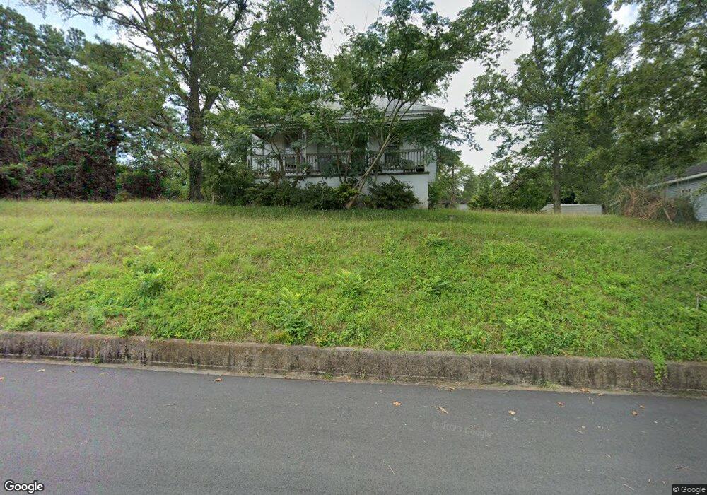
30 Spring St Manchester, GA 31816
Estimated Value: $61,161 - $106,000
3
Beds
1
Bath
926
Sq Ft
$95/Sq Ft
Est. Value
About This Home
This home is located at 30 Spring St, Manchester, GA 31816 and is currently estimated at $88,040, approximately $95 per square foot. 30 Spring St is a home located in Meriwether County with nearby schools including Mountain View Elementary School, Manchester Middle School, and Manchester High School.
Ownership History
Date
Name
Owned For
Owner Type
Purchase Details
Closed on
Sep 1, 2020
Sold by
Meriwether County Tax Commissioner
Bought by
No Limit Investigative & Security Servic
Current Estimated Value
Purchase Details
Closed on
Nov 7, 2017
Sold by
Meriwether County Tax Comm
Bought by
American Qrp Properties Llc
Purchase Details
Closed on
Apr 28, 2000
Sold by
Ard Sylvester H
Bought by
Ard Eddie Jackson Et
Purchase Details
Closed on
Apr 26, 2000
Sold by
Ard Eddie Jackson Et
Bought by
Mccoy Ventrine
Purchase Details
Closed on
Jan 1, 1952
Bought by
Ard Sylvester H
Create a Home Valuation Report for This Property
The Home Valuation Report is an in-depth analysis detailing your home's value as well as a comparison with similar homes in the area
Home Values in the Area
Average Home Value in this Area
Purchase History
| Date | Buyer | Sale Price | Title Company |
|---|---|---|---|
| No Limit Investigative & Security Servic | -- | -- | |
| American Qrp Properties Llc | -- | -- | |
| Ard Eddie Jackson Et | -- | -- | |
| Mccoy Ventrine | $4,000 | -- | |
| Ard Sylvester H | -- | -- |
Source: Public Records
Tax History
| Year | Tax Paid | Tax Assessment Tax Assessment Total Assessment is a certain percentage of the fair market value that is determined by local assessors to be the total taxable value of land and additions on the property. | Land | Improvement |
|---|---|---|---|---|
| 2024 | $361 | $7,648 | $2,520 | $5,128 |
| 2023 | $371 | $7,648 | $2,520 | $5,128 |
| 2022 | $371 | $7,648 | $2,520 | $5,128 |
| 2021 | $244 | $7,648 | $2,520 | $5,128 |
| 2020 | $246 | $7,648 | $2,520 | $5,128 |
| 2019 | $247 | $7,648 | $2,520 | $5,128 |
| 2018 | $249 | $7,648 | $2,520 | $5,128 |
| 2017 | $252 | $7,648 | $2,520 | $5,128 |
| 2016 | $252 | $7,648 | $2,520 | $5,128 |
| 2015 | $252 | $7,648 | $2,520 | $5,128 |
| 2014 | $252 | $7,648 | $2,520 | $5,128 |
| 2013 | -- | $7,648 | $2,520 | $5,128 |
Source: Public Records
Map
Nearby Homes
Your Personal Tour Guide
Ask me questions while you tour the home.