30 St Martins Ln Biddeford, ME 04005
Fortunes Rocks NeighborhoodEstimated Value: $1,246,000 - $3,511,198
5
Beds
4
Baths
2,650
Sq Ft
$898/Sq Ft
Est. Value
About This Home
This home is located at 30 St Martins Ln, Biddeford, ME 04005 and is currently estimated at $2,378,599, approximately $897 per square foot. 30 St Martins Ln is a home located in York County with nearby schools including John F Kennedy Memorial School, Biddeford Primary School, and Biddeford Intermediate School.
Ownership History
Date
Name
Owned For
Owner Type
Purchase Details
Closed on
Apr 23, 2020
Sold by
Black Timothy S
Bought by
Black Timothy S and Black Margaret C
Current Estimated Value
Home Financials for this Owner
Home Financials are based on the most recent Mortgage that was taken out on this home.
Original Mortgage
$850,000
Interest Rate
3.88%
Mortgage Type
Adjustable Rate Mortgage/ARM
Purchase Details
Closed on
Mar 2, 2011
Sold by
Black Gertrude D
Bought by
Harrison Black Ret and Black
Create a Home Valuation Report for This Property
The Home Valuation Report is an in-depth analysis detailing your home's value as well as a comparison with similar homes in the area
Home Values in the Area
Average Home Value in this Area
Purchase History
| Date | Buyer | Sale Price | Title Company |
|---|---|---|---|
| Black Timothy S | -- | None Available | |
| Black Timothy S | -- | None Available | |
| Harrison Black Ret | -- | -- | |
| Harrison Black Ret | -- | -- |
Source: Public Records
Mortgage History
| Date | Status | Borrower | Loan Amount |
|---|---|---|---|
| Closed | Black Timothy S | $850,000 |
Source: Public Records
Tax History Compared to Growth
Tax History
| Year | Tax Paid | Tax Assessment Tax Assessment Total Assessment is a certain percentage of the fair market value that is determined by local assessors to be the total taxable value of land and additions on the property. | Land | Improvement |
|---|---|---|---|---|
| 2024 | $58,193 | $4,092,300 | $3,530,900 | $561,400 |
| 2023 | $53,585 | $4,084,200 | $3,522,800 | $561,400 |
| 2022 | $39,225 | $2,390,300 | $2,087,400 | $302,900 |
| 2021 | $39,639 | $2,174,400 | $1,915,800 | $258,600 |
| 2020 | $41,812 | $2,085,400 | $1,846,500 | $238,900 |
| 2019 | $41,666 | $2,085,400 | $1,846,500 | $238,900 |
| 2018 | $41,082 | $2,085,400 | $1,846,500 | $238,900 |
| 2017 | $41,705 | $2,078,000 | $1,846,500 | $231,500 |
| 2016 | $32,600 | $1,641,500 | $1,410,000 | $231,500 |
| 2015 | $31,960 | $1,641,500 | $1,410,000 | $231,500 |
| 2014 | $31,172 | $1,641,500 | $1,410,000 | $231,500 |
| 2013 | -- | $1,478,800 | $1,312,500 | $166,300 |
Source: Public Records
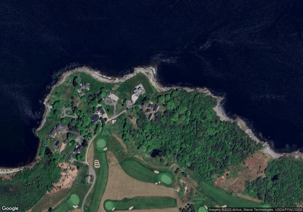
Map
Nearby Homes
- 111 Mile Stretch Rd
- 3 Fortunes Rocks Rd
- 6 Days Landing
- 66 Old Pool Rd
- 88-90 Old Pool Rd
- 1 Willow Ridge
- 2 Maddox Pond Rd
- Lot 1 Longboard Ln
- Lot 2 Longboard Ln
- 23 North Ave
- Lot 3 Longboard Ln
- Lot 4 Longboard Ln
- Lot 7 Longboard Ln
- Lot 6 Longboard Ln
- 700 Pool St
- 9 Riverside Ave
- 12 Lower Beach Rd
- 27 Sunrise Ave
- 96 Fortunes Rocks Rd
- 10 Seaside Ave
- 30 St Martin's Ln
- 28 St Martin's Ln
- 28 St Martins Ln
- 25 St Martin's Ln
- 27 St Martin's Ln
- 27 St Martins Ln
- 19-21 St Martins Ln
- 15 St Martins Ln
- 59 Lester B Orcutt Blvd
- 55 Lester B Orcutt Blvd
- 69 Lester B Orcutt Blvd
- 67 Lester B Orcutt Blvd
- 51 Lester B Orcutt Blvd
- 66 Lester B Orcutt Blvd
- 71 Lester B Orcutt Blvd
- 1 St Martin's Ln
- 60 Lester B Orcutt Blvd
- 54 Lester B Orcutt Blvd
- 20 Lester Orcutt Blvd Unit 2