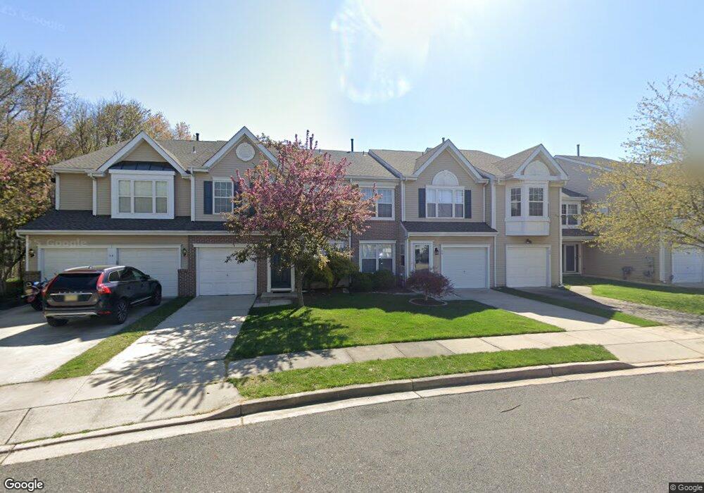
30 Stokes Rd Mount Laurel, NJ 08054
Estimated Value: $421,378 - $441,000
Studio
--
Bath
1,688
Sq Ft
$257/Sq Ft
Est. Value
About This Home
This home is located at 30 Stokes Rd, Mount Laurel, NJ 08054 and is currently estimated at $433,095, approximately $256 per square foot. 30 Stokes Rd is a home located in Burlington County with nearby schools including Countryside Elementary School, T.E. Harrington Middle School, and Mount Laurel Hartford School.
Ownership History
Date
Name
Owned For
Owner Type
Purchase Details
Closed on
Sep 5, 2007
Sold by
Frombach Pauline
Bought by
Miller Terry
Current Estimated Value
Home Financials for this Owner
Home Financials are based on the most recent Mortgage that was taken out on this home.
Original Mortgage
$223,160
Outstanding Balance
$141,724
Interest Rate
6.63%
Mortgage Type
Purchase Money Mortgage
Estimated Equity
$291,371
Purchase Details
Closed on
Sep 26, 1996
Sold by
Orleans Construction Corp
Bought by
Frombach Pauline
Create a Home Valuation Report for This Property
The Home Valuation Report is an in-depth analysis detailing your home's value as well as a comparison with similar homes in the area
Home Values in the Area
Average Home Value in this Area
Purchase History
| Date | Buyer | Sale Price | Title Company |
|---|---|---|---|
| Miller Terry | $278,950 | Hunter Title Agency Inc | |
| -- | $279,000 | -- | |
| Frombach Pauline | $138,260 | Settlers Title Agency Lp |
Source: Public Records
Mortgage History
| Date | Status | Borrower | Loan Amount |
|---|---|---|---|
| Open | -- | $223,160 | |
| Closed | -- | $223,160 |
Source: Public Records
Tax History
| Year | Tax Paid | Tax Assessment Tax Assessment Total Assessment is a certain percentage of the fair market value that is determined by local assessors to be the total taxable value of land and additions on the property. | Land | Improvement |
|---|---|---|---|---|
| 2025 | $7,176 | $227,300 | $68,000 | $159,300 |
| 2024 | $6,905 | $227,300 | $68,000 | $159,300 |
| 2023 | $6,905 | $227,300 | $68,000 | $159,300 |
| 2022 | $6,883 | $227,300 | $68,000 | $159,300 |
| 2021 | $6,275 | $227,300 | $68,000 | $159,300 |
| 2020 | $6,621 | $227,300 | $68,000 | $159,300 |
| 2019 | $6,553 | $227,300 | $68,000 | $159,300 |
| 2018 | $6,503 | $227,300 | $68,000 | $159,300 |
| 2017 | $6,335 | $227,300 | $68,000 | $159,300 |
| 2016 | $6,239 | $227,300 | $68,000 | $159,300 |
| 2015 | $6,167 | $227,300 | $68,000 | $159,300 |
| 2014 | $6,105 | $227,300 | $68,000 | $159,300 |
Source: Public Records
Map
Nearby Homes
- 41 Biddle Way
- 506 Oliphant Ln Unit 506
- 901A Oliphant Ln
- 907A Oliphant Ln Unit 907A
- 58 Watson Dr
- 21 A E Daisy Ln
- 130B Birchfield Ct Unit B
- 78 Chapel Hill Rd
- 135 Buckingham Way
- 228 Meadow Dr
- 104B Sumac Ct Unit 104B
- 98B Red Cedar Ct
- 903 Ginger Ct
- 1604B Steeplebush Terrace Unit 2604B
- 91 Center Ln Unit 91
- 9 Avandale Ct
- 20 Rose Ct
- 23 E Oleander Dr
- 3 Avandale Ct
- 2702B Bluegrass Dr Unit B
Your Personal Tour Guide
Ask me questions while you tour the home.