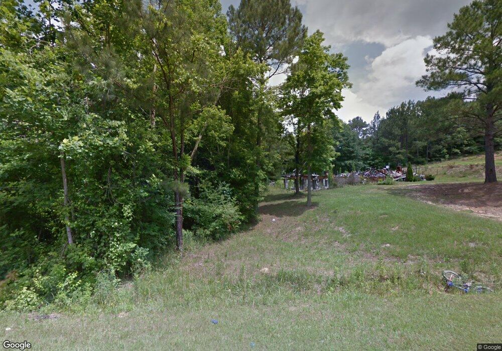
30 Stonebrook Ln Pell City, AL 35125
Estimated Value: $154,000 - $379,000
--
Bed
1
Bath
2,052
Sq Ft
$122/Sq Ft
Est. Value
About This Home
This home is located at 30 Stonebrook Ln, Pell City, AL 35125 and is currently estimated at $250,333, approximately $121 per square foot. 30 Stonebrook Ln is a home located in St. Clair County.
Ownership History
Date
Name
Owned For
Owner Type
Purchase Details
Closed on
Feb 21, 2023
Sold by
Moore Lee M and Moore Debra D
Bought by
Vanlayton Marshall
Current Estimated Value
Home Financials for this Owner
Home Financials are based on the most recent Mortgage that was taken out on this home.
Original Mortgage
$172,200
Outstanding Balance
$166,797
Interest Rate
6.33%
Estimated Equity
$83,536
Purchase Details
Closed on
Oct 19, 2010
Sold by
Green Tree-Al, Llc
Bought by
Moore Lee M and Moore Debra D
Purchase Details
Closed on
Jun 29, 2006
Sold by
Moore Lee M and Moore Debra D
Bought by
Green Tree Al Llc
Create a Home Valuation Report for This Property
The Home Valuation Report is an in-depth analysis detailing your home's value as well as a comparison with similar homes in the area
Home Values in the Area
Average Home Value in this Area
Purchase History
| Date | Buyer | Sale Price | Title Company |
|---|---|---|---|
| Vanlayton Marshall | $13,000 | -- | |
| Moore Lee M | $65,640 | -- | |
| Green Tree Al Llc | $69,216 | None Available |
Source: Public Records
Mortgage History
| Date | Status | Borrower | Loan Amount |
|---|---|---|---|
| Open | Vanlayton Marshall | $172,200 |
Source: Public Records
Tax History Compared to Growth
Tax History
| Year | Tax Paid | Tax Assessment Tax Assessment Total Assessment is a certain percentage of the fair market value that is determined by local assessors to be the total taxable value of land and additions on the property. | Land | Improvement |
|---|---|---|---|---|
| 2024 | $437 | $26,920 | $2,420 | $24,500 |
| 2023 | $87 | $2,420 | $2,420 | $0 |
| 2022 | $62 | $1,720 | $1,720 | $0 |
| 2021 | $62 | $1,710 | $1,710 | $0 |
| 2020 | $53 | $1,716 | $1,716 | $0 |
| 2019 | $53 | $1,716 | $1,716 | $0 |
| 2018 | $69 | $2,220 | $0 | $0 |
| 2017 | $69 | $2,220 | $0 | $0 |
| 2016 | $69 | $2,220 | $0 | $0 |
| 2015 | $69 | $2,220 | $0 | $0 |
| 2014 | $69 | $2,220 | $0 | $0 |
Source: Public Records
Map
Nearby Homes
- 2151 Mount Moriah Rd
- 670 Oakwood Ln
- 5424 Old Coal City Rd
- 3490 Mount Moriah Rd
- 24274 Us Hwy 231
- 0 Highway 174 Unit 21416876
- 3513 Old Coal City Rd
- 1594 Bowman Cir
- 2432 Florida Rd
- 150 Eden Acres Ln
- 1598 Bowman Cir
- 2310 Mineral Springs Rd
- 2360 Mineral Springs Rd
- 105 Lilly Ln
- 1692 Florida Rd
- 2185 Mineral Springs Rd
- 2111 Pleasant Valley Rd
- 3634 Pleasant Valley Rd
- 2133 Pleasant Valley Rd
- 990 Dogwood Estates
- 20 Stonebrook Ln
- 20 Stonebrook Ln Unit 4
- 40 Stonebrook Ln
- 1055 Manning Rd
- 35 Stonebrook Ln
- 10 Stonebrook Ln
- 15 Stonebrook Ln
- 55 Stonebrook Ln
- 900 Manning Rd
- 1000 Manning Rd
- 1030 Manning Rd
- 865 Manning Rd
- 1020 Manning Rd
- 751 Manning Rd
- 882 Manning Rd
- 1075 Manning Rd
- 1060 Manning Rd
- 1111 Manning Rd
- 1095 Manning Rd
- 780 Manning Rd
