Estimated Value: $392,585 - $450,000
4
Beds
4
Baths
1,810
Sq Ft
$239/Sq Ft
Est. Value
About This Home
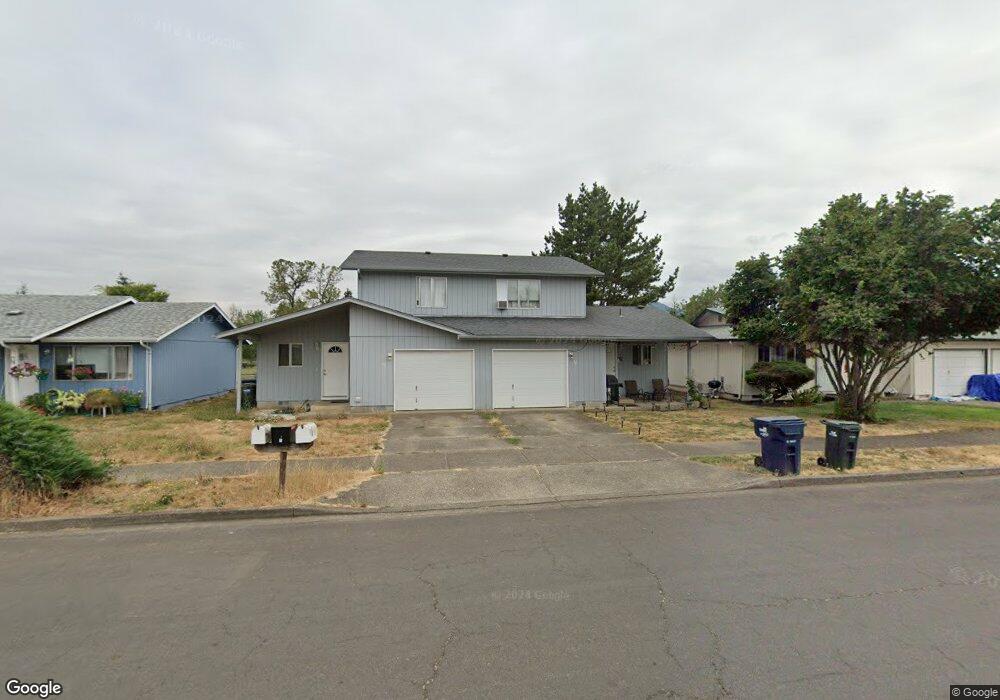
This home is located at 30 T St, Springfield, OR 97477 and is currently estimated at $432,396, approximately $238 per square foot. 30 T St is a home located in Lane County with nearby schools including Elizabeth Page Elementary School, Hamlin Middle School, and Springfield High School.
Ownership History
Date
Name
Owned For
Owner Type
Purchase Details
Closed on
Apr 26, 2004
Sold by
Cordell Dareck and Spaid Tad
Bought by
Cordell Dareck G and Spaid Tad A
Current Estimated Value
Home Financials for this Owner
Home Financials are based on the most recent Mortgage that was taken out on this home.
Original Mortgage
$140,266
Outstanding Balance
$64,082
Interest Rate
5.35%
Mortgage Type
FHA
Estimated Equity
$368,314
Purchase Details
Closed on
Nov 25, 2002
Sold by
Mort Michael C and Mort Athena
Bought by
Cordell Dareck and Spaid Tad
Home Financials for this Owner
Home Financials are based on the most recent Mortgage that was taken out on this home.
Original Mortgage
$139,806
Interest Rate
6.12%
Mortgage Type
FHA
Purchase Details
Closed on
May 19, 1998
Sold by
Snyder Roger L and Snyder Linda L
Bought by
Mort Michael C and Mort Athena
Home Financials for this Owner
Home Financials are based on the most recent Mortgage that was taken out on this home.
Original Mortgage
$128,680
Interest Rate
7.13%
Create a Home Valuation Report for This Property
The Home Valuation Report is an in-depth analysis detailing your home's value as well as a comparison with similar homes in the area
Home Values in the Area
Average Home Value in this Area
Purchase History
| Date | Buyer | Sale Price | Title Company |
|---|---|---|---|
| Cordell Dareck G | -- | Western Pioneer Title Co | |
| Cordell Dareck | $142,000 | Western Pioneer Title Co | |
| Mort Michael C | $130,000 | Fidelity National Title Co |
Source: Public Records
Mortgage History
| Date | Status | Borrower | Loan Amount |
|---|---|---|---|
| Open | Cordell Dareck G | $140,266 | |
| Closed | Cordell Dareck | $139,806 | |
| Previous Owner | Mort Michael C | $128,680 |
Source: Public Records
Tax History
| Year | Tax Paid | Tax Assessment Tax Assessment Total Assessment is a certain percentage of the fair market value that is determined by local assessors to be the total taxable value of land and additions on the property. | Land | Improvement |
|---|---|---|---|---|
| 2025 | $3,712 | $202,422 | -- | -- |
| 2024 | $3,652 | $196,527 | -- | -- |
| 2023 | $3,652 | $190,803 | $0 | $0 |
| 2022 | $3,382 | $185,246 | $0 | $0 |
| 2021 | $3,322 | $179,851 | $0 | $0 |
| 2020 | $3,225 | $174,613 | $0 | $0 |
| 2019 | $3,128 | $169,528 | $0 | $0 |
| 2018 | $2,948 | $159,797 | $0 | $0 |
| 2017 | $2,835 | $159,797 | $0 | $0 |
| 2016 | $2,775 | $155,143 | $0 | $0 |
| 2015 | $2,687 | $150,624 | $0 | $0 |
| 2014 | $2,622 | $146,237 | $0 | $0 |
Source: Public Records
Map
Nearby Homes
- 77 Shady Loop
- 126 Woodlane Dr
- 2150 Laura St Unit 119
- 2150 Laura St Unit 111
- 2150 Laura St Unit 39
- 2150 Laura St Unit 57
- 2150 Laura St Unit 83
- 2150 Laura St Unit 44
- 2150 Laura (#57) St Unit 57
- 364 Scotts Glen Dr
- 421 Woodlane Dr
- 212 Hayden Bridge Way
- 40 Allen Ave
- 451 Lochaven Ave
- 485 Scotts Glen Dr
- 2136 8th St
- 535 Pacific Ave
- 2268 9th St
- 780 Q St
- 817 River Knoll Way
Your Personal Tour Guide
Ask me questions while you tour the home.