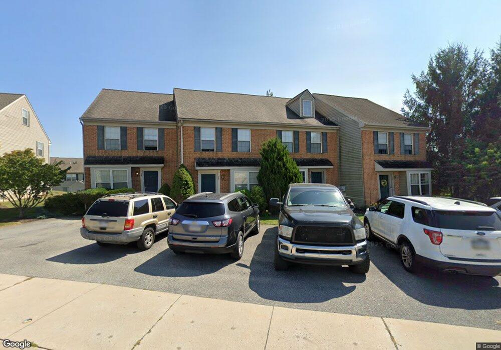
30 Tia Cir Mount Joy, PA 17552
Estimated Value: $263,000 - $276,000
3
Beds
2
Baths
1,391
Sq Ft
$193/Sq Ft
Est. Value
About This Home
This home is located at 30 Tia Cir, Mount Joy, PA 17552 and is currently estimated at $268,333, approximately $192 per square foot. 30 Tia Cir is a home located in Lancaster County with nearby schools including Donegal Intermediate School, Donegal High School, and Mount Calvary Christian School.
Ownership History
Date
Name
Owned For
Owner Type
Purchase Details
Closed on
Mar 28, 2018
Sold by
Groff Harold M and Groff Mary Ellen
Bought by
Austin Moran Austin P and Austin Martin J
Current Estimated Value
Home Financials for this Owner
Home Financials are based on the most recent Mortgage that was taken out on this home.
Original Mortgage
$861,754
Outstanding Balance
$740,058
Interest Rate
4.38%
Mortgage Type
Seller Take Back
Estimated Equity
-$471,725
Purchase Details
Closed on
Sep 27, 2013
Sold by
Donegal Crossing Associates Llc
Bought by
Groff Harold M and Groff Mary Ellen
Purchase Details
Closed on
Sep 10, 2002
Sold by
Horst Gerald R
Bought by
Donegal Crossing Associates Llc
Create a Home Valuation Report for This Property
The Home Valuation Report is an in-depth analysis detailing your home's value as well as a comparison with similar homes in the area
Home Values in the Area
Average Home Value in this Area
Purchase History
| Date | Buyer | Sale Price | Title Company |
|---|---|---|---|
| Austin Moran Austin P | $819,000 | Abstract Associates Of Lanca | |
| Groff Harold M | $131,000 | None Available | |
| Donegal Crossing Associates Llc | $4,057,200 | First American Title Ins Co |
Source: Public Records
Mortgage History
| Date | Status | Borrower | Loan Amount |
|---|---|---|---|
| Open | Austin Moran Austin P | $861,754 |
Source: Public Records
Tax History Compared to Growth
Tax History
| Year | Tax Paid | Tax Assessment Tax Assessment Total Assessment is a certain percentage of the fair market value that is determined by local assessors to be the total taxable value of land and additions on the property. | Land | Improvement |
|---|---|---|---|---|
| 2025 | $3,372 | $132,100 | $39,200 | $92,900 |
| 2024 | $3,372 | $132,100 | $39,200 | $92,900 |
| 2023 | $3,359 | $132,100 | $39,200 | $92,900 |
| 2022 | $3,268 | $132,100 | $39,200 | $92,900 |
| 2021 | $3,140 | $132,100 | $39,200 | $92,900 |
| 2020 | $3,140 | $132,100 | $39,200 | $92,900 |
| 2019 | $3,138 | $132,100 | $39,200 | $92,900 |
| 2016 | $2,654 | $93,300 | $27,900 | $65,400 |
| 2015 | $558 | $93,300 | $27,900 | $65,400 |
| 2014 | $2,055 | $93,300 | $27,900 | $65,400 |
Source: Public Records
Map
Nearby Homes
- 1859 Shady Oak Dr
- 1590 Harrisburg Ave
- 1588 Harrisburg Ave
- 1584 Harrisburg Ave
- 1958 Misty Dr
- 2085 Andrew Ave
- 100 Eagle Pkwy
- 117 Heisey Ave
- 8 Brooklane Ct
- 811 Knoll Dr
- 205 Sparrow Ln
- 216 Ringneck Cir
- 218 Ringneck Cir
- 107 Sparrow Ln
- 39 Sarah Ln
- 867 Schwanger Rd
- 867 Schwanger Rd Unit 10
- 773 Schwanger Rd
- 2402 Mount Pleasant Rd
- 100 Talbot St