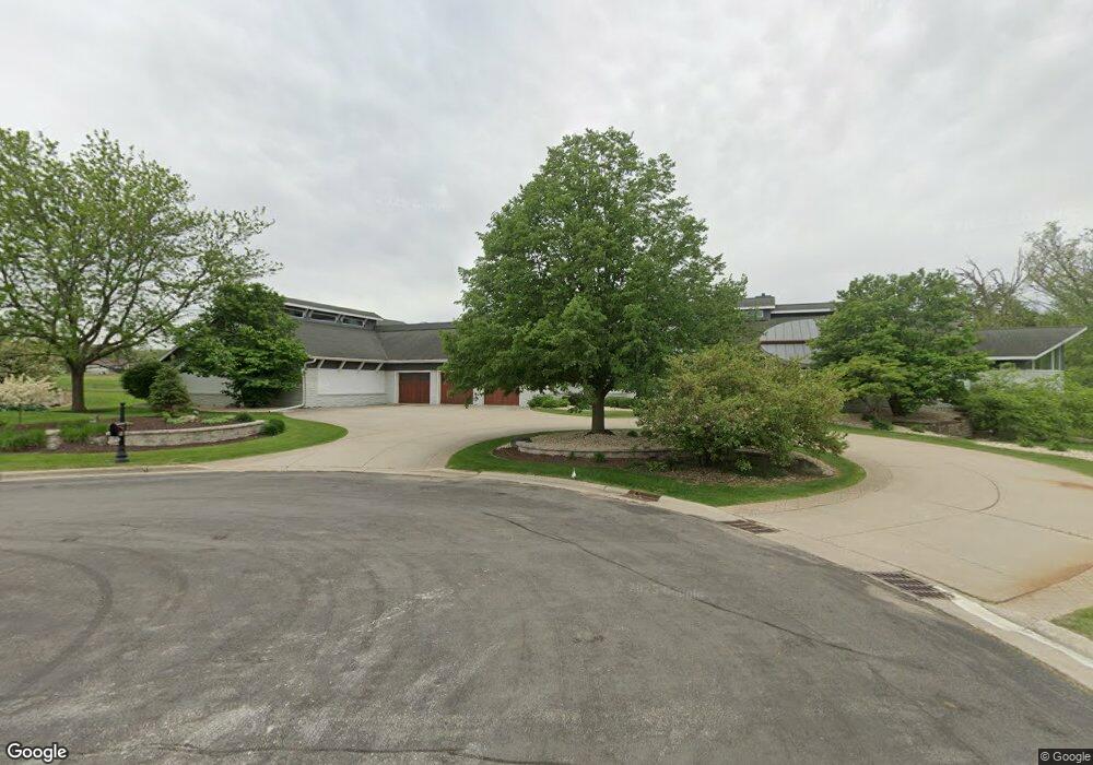
30 Turnwood Cir Verona, WI 53593
Town of Middleton NeighborhoodEstimated Value: $2,004,000 - $3,371,000
4
Beds
7
Baths
11,942
Sq Ft
$218/Sq Ft
Est. Value
About This Home
This home is located at 30 Turnwood Cir, Verona, WI 53593 and is currently estimated at $2,609,179, approximately $218 per square foot. 30 Turnwood Cir is a home located in Dane County with nearby schools including Olson Elementary School, Toki Middle School, and Vel Phillips Memorial High School.
Ownership History
Date
Name
Owned For
Owner Type
Purchase Details
Closed on
Sep 29, 2022
Sold by
Gilbert Thomas K
Bought by
Gilbert Thomas K
Current Estimated Value
Home Financials for this Owner
Home Financials are based on the most recent Mortgage that was taken out on this home.
Original Mortgage
$1,000,000
Outstanding Balance
$944,385
Interest Rate
3.75%
Mortgage Type
New Conventional
Estimated Equity
$1,664,794
Purchase Details
Closed on
Jun 9, 2011
Sold by
Haen Jeffrey J and Haen Susan S
Bought by
Gilbert Thomas K
Create a Home Valuation Report for This Property
The Home Valuation Report is an in-depth analysis detailing your home's value as well as a comparison with similar homes in the area
Home Values in the Area
Average Home Value in this Area
Purchase History
| Date | Buyer | Sale Price | Title Company |
|---|---|---|---|
| Gilbert Thomas K | -- | -- | |
| Gilbert Thomas K | $1,800,000 | None Available |
Source: Public Records
Mortgage History
| Date | Status | Borrower | Loan Amount |
|---|---|---|---|
| Open | Gilbert Thomas K | $1,000,000 |
Source: Public Records
Tax History Compared to Growth
Tax History
| Year | Tax Paid | Tax Assessment Tax Assessment Total Assessment is a certain percentage of the fair market value that is determined by local assessors to be the total taxable value of land and additions on the property. | Land | Improvement |
|---|---|---|---|---|
| 2024 | $56,953 | $1,613,300 | $569,300 | $1,044,000 |
| 2023 | $31,042 | $1,613,300 | $542,200 | $1,071,100 |
| 2021 | $40,492 | $1,887,500 | $452,300 | $1,435,200 |
| 2020 | $42,328 | $1,887,500 | $430,800 | $1,456,700 |
| 2019 | $42,496 | $1,887,500 | $414,200 | $1,473,300 |
| 2018 | $42,428 | $1,887,500 | $398,300 | $1,489,200 |
| 2017 | $43,955 | $1,887,500 | $398,300 | $1,489,200 |
| 2016 | $42,206 | $1,764,000 | $372,200 | $1,391,800 |
| 2015 | $43,508 | $1,800,000 | $379,800 | $1,420,200 |
| 2014 | $43,530 | $1,800,000 | $379,800 | $1,420,200 |
| 2013 | $30,145 | $1,800,000 | $365,200 | $1,434,800 |
Source: Public Records
Map
Nearby Homes
- 9629 Shadow Wood Dr
- 1706 Shady Point Dr
- 9720 Grey Kestrel Dr
- 9824 Hawks Nest Dr
- 9213 Crosswinds Ln
- 9225 Crosswinds Ln Unit 402
- 34 Hawks Landing Cir
- 504 White Sky Pass
- 1050 Reagan Dr
- 1021 Reagan Dr
- 1011 Reagan Dr
- 1000 Reagan Dr
- 802 Pine Hill Dr
- 9011 Royal Oaks Cir
- 9002 Hawks Reserve Ln Unit 202
- 1804 Maplecrest Dr Unit 103
- 9202 Ancient Oak Ln
- 707 Shining Rock Trail
- 9066 Paddington Pkwy
- 9076 Paddington Pkwy
- 26 Turnwood Cir
- 33 Turnwood Cir
- 29 Turnwood Cir
- 25 Turnwood Cir
- 18 Turnwood Cir
- 21 Turnwood Cir
- 17 Turnwood Cir
- 14 Turnwood Cir
- 15 Turnwood Cir
- 9706 Shadow Wood Dr
- 9710 Shadow Wood Dr
- 9702 Shadow Wood Dr
- 1717 Hidden Hill Dr
- 9714 Shadow Wood Dr
- 9626 Shadow Wood Dr
- 1721 Hidden Hill Dr
- 1713 Hidden Hill Dr
- 1725 Hidden Hill Dr
- 9718 Shadow Wood Dr
- 9622 Shadow Wood Dr